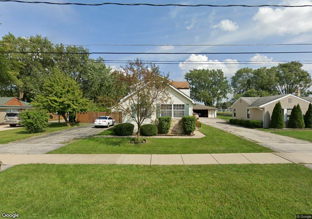
8335 Normandy Ave Burbank, IL 60459
Estimated Value: $314,000 - $420,000
4
Beds
2
Baths
2,129
Sq Ft
$168/Sq Ft
Est. Value
About This Home
This home is located at 8335 Normandy Ave, Burbank, IL 60459 and is currently estimated at $357,310, approximately $167 per square foot. 8335 Normandy Ave is a home located in Cook County with nearby schools including F B Mccord Elementary School and Reavis High School.
Ownership History
Date
Name
Owned For
Owner Type
Purchase Details
Closed on
Jan 2, 2017
Sold by
Gow Alan K
Bought by
Gow Vickie K
Current Estimated Value
Purchase Details
Closed on
Jun 12, 1998
Sold by
Gow Walter W and Gow Patricia A
Bought by
Gow Alan K and Gow Vickie K
Home Financials for this Owner
Home Financials are based on the most recent Mortgage that was taken out on this home.
Original Mortgage
$40,000
Outstanding Balance
$7,512
Interest Rate
7.32%
Estimated Equity
$349,798
Create a Home Valuation Report for This Property
The Home Valuation Report is an in-depth analysis detailing your home's value as well as a comparison with similar homes in the area
Home Values in the Area
Average Home Value in this Area
Purchase History
| Date | Buyer | Sale Price | Title Company |
|---|---|---|---|
| Gow Vickie K | -- | Carrington Title Partners Ll | |
| Gow Alan K | $100,000 | -- |
Source: Public Records
Mortgage History
| Date | Status | Borrower | Loan Amount |
|---|---|---|---|
| Open | Gow Alan K | $40,000 |
Source: Public Records
Tax History
| Year | Tax Paid | Tax Assessment Tax Assessment Total Assessment is a certain percentage of the fair market value that is determined by local assessors to be the total taxable value of land and additions on the property. | Land | Improvement |
|---|---|---|---|---|
| 2025 | $7,038 | $26,000 | $6,197 | $19,803 |
| 2024 | $7,038 | $26,000 | $6,197 | $19,803 |
| 2023 | $6,249 | $26,000 | $6,197 | $19,803 |
| 2022 | $6,249 | $19,626 | $5,453 | $14,173 |
| 2021 | $6,013 | $19,625 | $5,453 | $14,172 |
| 2020 | $5,882 | $19,625 | $5,453 | $14,172 |
| 2019 | $5,861 | $19,787 | $4,957 | $14,830 |
| 2018 | $5,692 | $19,787 | $4,957 | $14,830 |
| 2017 | $5,524 | $19,787 | $4,957 | $14,830 |
| 2016 | $4,911 | $16,436 | $4,213 | $12,223 |
| 2015 | $4,686 | $16,436 | $4,213 | $12,223 |
| 2014 | $4,563 | $16,436 | $4,213 | $12,223 |
| 2013 | $4,209 | $16,632 | $4,213 | $12,419 |
Source: Public Records
Map
Nearby Homes
- 8301 Normandy Ave
- 6611 W 83rd St
- 6515 82nd St
- 6520 W 82nd St
- 6437 W 82nd St
- 8602 Oak Park Ave
- 6316 W 83rd Place
- 8053 Newland Ave
- 6896 W 87th St Unit 3W
- 6762 W 87th Place
- 8036 Newland Ave
- 7920 Natoma Ave
- 8700 Ridgeland Ave
- 7949 Newland Ave
- 7132 W 84th Place
- 7110 W 82nd Place
- 8014 Mobile Ave
- 8704 Mobile Ave Unit 2C
- 7852 Neenah Ave
- 7901 Newland Ave
- 8329 Normandy Ave
- 8341 Normandy Ave
- 8325 Normandy Ave
- 8345 Normandy Ave
- 8359 Normandy Ave
- 8315 Normandy Ave
- 8342 Normandy Ave
- 8350 Normandy Ave
- 8328 Normandy Ave
- 8358 Normandy Ave
- 8401 Normandy Ave
- 8309 Normandy Ave
- 6659 W 83rd St
- 8407 Normandy Ave
- 8343 Rutherford Ave
- 8351 Rutherford Ave
- 8351 Rutherford Ave
- 8333 Rutherford Ave
- 6633 W 83rd St
- 8329 Rutherford Ave
Your Personal Tour Guide
Ask me questions while you tour the home.