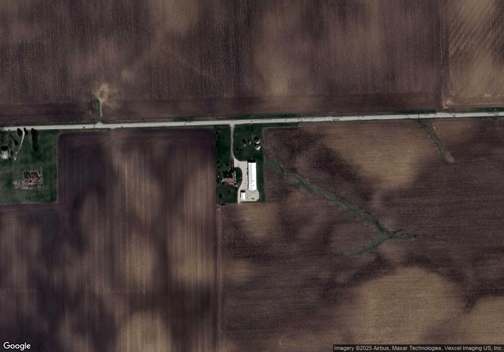
8338 W Helmar Rd Newark, IL 60541
North Minooka NeighborhoodEstimated Value: $561,000 - $586,168
4
Beds
3
Baths
2,644
Sq Ft
$216/Sq Ft
Est. Value
About This Home
This home is located at 8338 W Helmar Rd, Newark, IL 60541 and is currently estimated at $570,389, approximately $215 per square foot. 8338 W Helmar Rd is a home located in Kendall County with nearby schools including Circle Center Grade School, Yorkville Intermediate School, and Yorkville Middle School.
Ownership History
Date
Name
Owned For
Owner Type
Purchase Details
Closed on
Jul 17, 2017
Sold by
Westphal Brian S and Drake Cynthia L
Bought by
Westphal Brian and Westphal Cynthia L
Current Estimated Value
Purchase Details
Closed on
Oct 16, 2003
Sold by
Pearce Maxine
Bought by
Westphal Brian S and Drake Cynthia L
Home Financials for this Owner
Home Financials are based on the most recent Mortgage that was taken out on this home.
Original Mortgage
$180,000
Outstanding Balance
$82,902
Interest Rate
6.02%
Mortgage Type
Construction
Estimated Equity
$487,487
Create a Home Valuation Report for This Property
The Home Valuation Report is an in-depth analysis detailing your home's value as well as a comparison with similar homes in the area
Home Values in the Area
Average Home Value in this Area
Purchase History
| Date | Buyer | Sale Price | Title Company |
|---|---|---|---|
| Westphal Brian | -- | None Available | |
| Westphal Brian S | $35,000 | -- |
Source: Public Records
Mortgage History
| Date | Status | Borrower | Loan Amount |
|---|---|---|---|
| Open | Westphal Brian S | $180,000 |
Source: Public Records
Tax History Compared to Growth
Tax History
| Year | Tax Paid | Tax Assessment Tax Assessment Total Assessment is a certain percentage of the fair market value that is determined by local assessors to be the total taxable value of land and additions on the property. | Land | Improvement |
|---|---|---|---|---|
| 2024 | $9,621 | $134,674 | $17,155 | $117,519 |
| 2023 | $9,701 | $131,783 | $14,742 | $117,041 |
| 2022 | $9,701 | $114,365 | $12,468 | $101,897 |
| 2021 | $9,289 | $107,352 | $12,388 | $94,964 |
| 2020 | $10,393 | $116,666 | $27,338 | $89,328 |
| 2019 | $10,053 | $111,621 | $26,156 | $85,465 |
| 2018 | $9,731 | $107,265 | $26,156 | $81,109 |
| 2017 | $9,615 | $102,315 | $26,156 | $76,159 |
| 2016 | $9,222 | $95,571 | $25,833 | $69,738 |
| 2015 | $4,796 | $95,571 | $25,833 | $69,738 |
| 2014 | -- | $90,572 | $27,835 | $62,737 |
| 2013 | -- | $90,572 | $27,835 | $62,737 |
Source: Public Records
Map
Nearby Homes
- 8737 Buck Ct
- 15771 Brisbin Rd
- 2551 Fairfax Way
- 2655 Fairfax Way
- 3 Ronhill Rd
- 2469 Fairfield Ave
- 11382 Brighton Oaks Dr
- 12200 Newark Rd
- 522 Windett Ridge Rd
- 2342 Winterthur Green
- 10480 Legion Rd
- 2236 Fairfax Way
- 1782 Callander Trail
- 451 Parkside Ln
- 335 Sutton St
- Lot 15 Legion Rd
- 10887 Brandenburg Way
- 2096 Country Hills Dr
- 14900 County Line Rd
- 883 Prairie Crossing Dr
