8339 Highway 337 La Fayette, GA 30728
Center Post NeighborhoodEstimated Value: $417,000
--
Bed
2
Baths
2,112
Sq Ft
$197/Sq Ft
Est. Value
About This Home
This home is located at 8339 Highway 337, La Fayette, GA 30728 and is currently estimated at $417,000, approximately $197 per square foot. 8339 Highway 337 is a home located in Walker County with nearby schools including Gilbert Elementary School, Lafayette Middle School, and Lafayette High School.
Ownership History
Date
Name
Owned For
Owner Type
Purchase Details
Closed on
Feb 19, 2009
Sold by
Barrett James H
Bought by
Barrett Thelma Ruth
Current Estimated Value
Purchase Details
Closed on
Mar 7, 1990
Sold by
Barrett James H and Barrett Ruth
Bought by
Barrett James H
Purchase Details
Closed on
Mar 1, 1985
Sold by
Wm Matthews and Sue Holder
Bought by
Barrett James H and Barrett Ruth
Purchase Details
Closed on
Jun 30, 1970
Bought by
Thomas Joel C
Create a Home Valuation Report for This Property
The Home Valuation Report is an in-depth analysis detailing your home's value as well as a comparison with similar homes in the area
Home Values in the Area
Average Home Value in this Area
Purchase History
| Date | Buyer | Sale Price | Title Company |
|---|---|---|---|
| Barrett Thelma Ruth | -- | -- | |
| Barrett James H | -- | -- | |
| Barrett James H | -- | -- | |
| Wm Matthews | $10,300 | -- | |
| Thomas Joel C | -- | -- |
Source: Public Records
Tax History Compared to Growth
Tax History
| Year | Tax Paid | Tax Assessment Tax Assessment Total Assessment is a certain percentage of the fair market value that is determined by local assessors to be the total taxable value of land and additions on the property. | Land | Improvement |
|---|---|---|---|---|
| 2024 | $442 | $141,203 | $141,203 | $0 |
| 2023 | $438 | $112,066 | $112,066 | $0 |
| 2022 | $3,345 | $157,100 | $58,297 | $98,803 |
| 2021 | $3,306 | $144,077 | $58,297 | $85,780 |
| 2020 | $4,754 | $163,112 | $62,120 | $100,992 |
| 2019 | $3,863 | $163,112 | $62,120 | $100,992 |
| 2018 | $4,316 | $163,112 | $62,120 | $100,992 |
| 2017 | $4,298 | $163,112 | $62,120 | $100,992 |
| 2016 | $3,352 | $171,579 | $70,587 | $100,992 |
| 2015 | $3,201 | $155,879 | $67,674 | $88,205 |
| 2014 | $2,979 | $155,879 | $67,674 | $88,205 |
| 2013 | -- | $155,879 | $67,674 | $88,205 |
Source: Public Records
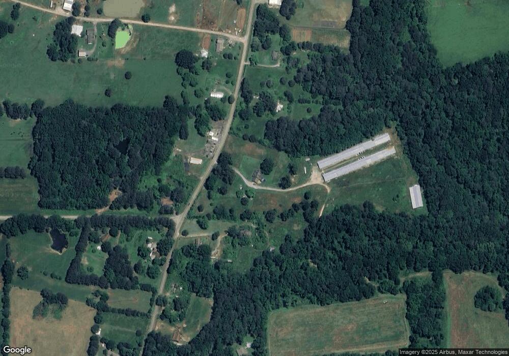
Map
Nearby Homes
- 6671 Highway 337
- 6670 Highway 337
- 0 Ridgeway Rd Unit 1524463
- 132 Short Hollow Rd
- 3523 E Broomtown Rd
- 1144 Ridgeway Rd
- 456 Cummings Rd Unit C
- 456 Cummings Rd Unit D
- 456 Cummings Rd Unit B
- 456 Cummings Rd Unit E
- 434 Farm Rd
- 0 Martindale Rd Unit 10608820
- 0 Martindale Rd Unit 1520834
- 0 Sand Pit Rd Unit 20121967
- 0 Sand Pit Rd Unit 17650016
- 70 Golf Course Ln
- 0 Hwy 27 Unit 1524193
- 151 Airport Rd
- 123 Airport Rd
- 7839 Trion Hwy
- 8437 Highway 337
- 5178 E Broomtown Rd
- 1 Harrisburg Rd
- 8605 Highway 337
- 8474 Highway 337
- 8350 Highway 337
- 22 Harrisburg Rd
- 8251 Highway 337
- 8260 Highway 337
- 8602 Highway 337
- 107 Harrisburg Rd
- 8209 Highway 337
- 8794 Highway 337
- 8824 Highway 337
- 102 Harrisburg Rd
- 5146 E Broomtown Rd
- 8670 Highway 337
- 8670 Georgia 337
- 5022 E Broomtown Rd
- 8115 Highway 337