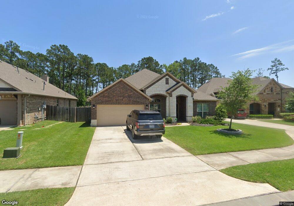
8339 Liat Ln Conroe, TX 77304
Lake Conroe NeighborhoodEstimated Value: $420,511 - $489,000
Studio
--
Bath
2,666
Sq Ft
$173/Sq Ft
Est. Value
About This Home
This home is located at 8339 Liat Ln, Conroe, TX 77304 and is currently estimated at $460,128, approximately $172 per square foot. 8339 Liat Ln is a home with nearby schools including Eddie Ruth Lagway Elementary, Robert P. Brabham Middle School, and Willis High School.
Ownership History
Date
Name
Owned For
Owner Type
Purchase Details
Closed on
May 12, 2017
Sold by
Dr Horton Texas Ltd
Bought by
White Jonathan T and White Renee C
Current Estimated Value
Home Financials for this Owner
Home Financials are based on the most recent Mortgage that was taken out on this home.
Original Mortgage
$297,020
Outstanding Balance
$244,911
Interest Rate
4.14%
Mortgage Type
FHA
Estimated Equity
$215,217
Purchase Details
Closed on
Feb 14, 1995
Sold by
Martinez Juan R
Bought by
Martinez Maria D
Create a Home Valuation Report for This Property
The Home Valuation Report is an in-depth analysis detailing your home's value as well as a comparison with similar homes in the area
Home Values in the Area
Average Home Value in this Area
Purchase History
| Date | Buyer | Sale Price | Title Company |
|---|---|---|---|
| White Jonathan T | -- | Dhi Title | |
| Martinez Maria D | -- | -- |
Source: Public Records
Mortgage History
| Date | Status | Borrower | Loan Amount |
|---|---|---|---|
| Open | White Jonathan T | $297,020 |
Source: Public Records
Tax History
| Year | Tax Paid | Tax Assessment Tax Assessment Total Assessment is a certain percentage of the fair market value that is determined by local assessors to be the total taxable value of land and additions on the property. | Land | Improvement |
|---|---|---|---|---|
| 2025 | $10,473 | $429,444 | $73,583 | $355,861 |
| 2024 | $9,376 | $426,437 | -- | -- |
| 2023 | $9,376 | $387,670 | $73,580 | $388,750 |
| 2022 | $10,622 | $352,430 | $73,580 | $338,480 |
| 2021 | $9,875 | $320,390 | $73,580 | $246,810 |
| 2020 | $9,407 | $292,000 | $73,580 | $218,420 |
| 2019 | $9,925 | $297,000 | $73,580 | $223,420 |
| 2018 | $8,936 | $287,000 | $73,580 | $213,420 |
| 2017 | $9,617 | $287,000 | $73,580 | $213,420 |
| 2016 | $1,627 | $48,560 | $48,560 | $0 |
| 2015 | -- | $73,580 | $73,580 | $0 |
Source: Public Records
Map
Nearby Homes
- 7329 Masquerade Ln
- 11565 Gingerland Dr
- 11376 Dawn Beach Ln
- 11544 Kalinago View Ln
- 11372 Dawn Beach Ln
- 12246 Antilles Ln
- 11524 Kalinago View Ln
- 11351 Dawn Beach Ln
- 11503 Kalinago View Ln
- 11508 Kalinago View Ln
- 12031 Black Sage Dr
- 12103 Bee Bush Ct
- 12211 Grey Plover Ct
- 12321 Plumbago Ln
- 11519 Parrot Fish Ct
- 6302 Hendricks Harbor Ct
- 11722 Bari Reef Ln
- 7035 Bonaire Vista Ln
- 11331 Dawn Beach Ln
- 12319 Little Blue Heron Ln
- 8335 Liat Ln
- 8343 Liat Ln
- 8331 Liat Ln
- 8330 Sands Bank Ln
- 8330 Sands Bank Ln Unit L
- 8330 Sands Bank Ln
- 8323 Sands Bank Ln
- 8326 Sands Bank Ln
- 8327 Liat Ln
- 8319 Sands Bank Ln
- 8323 Liat Ln
- 11632 Allamanda Ct
- 11628 Allamanda Ct
- 8326 Liat Ln
- 8318 Sands Bank Ln
- 8315 Sands Bank Ln
- 8322 Liat Ln
- 11624 Allamanda Ct
- 11636 Allamanda Ct
- 8314 Sands Bank Ln
Your Personal Tour Guide
Ask me questions while you tour the home.