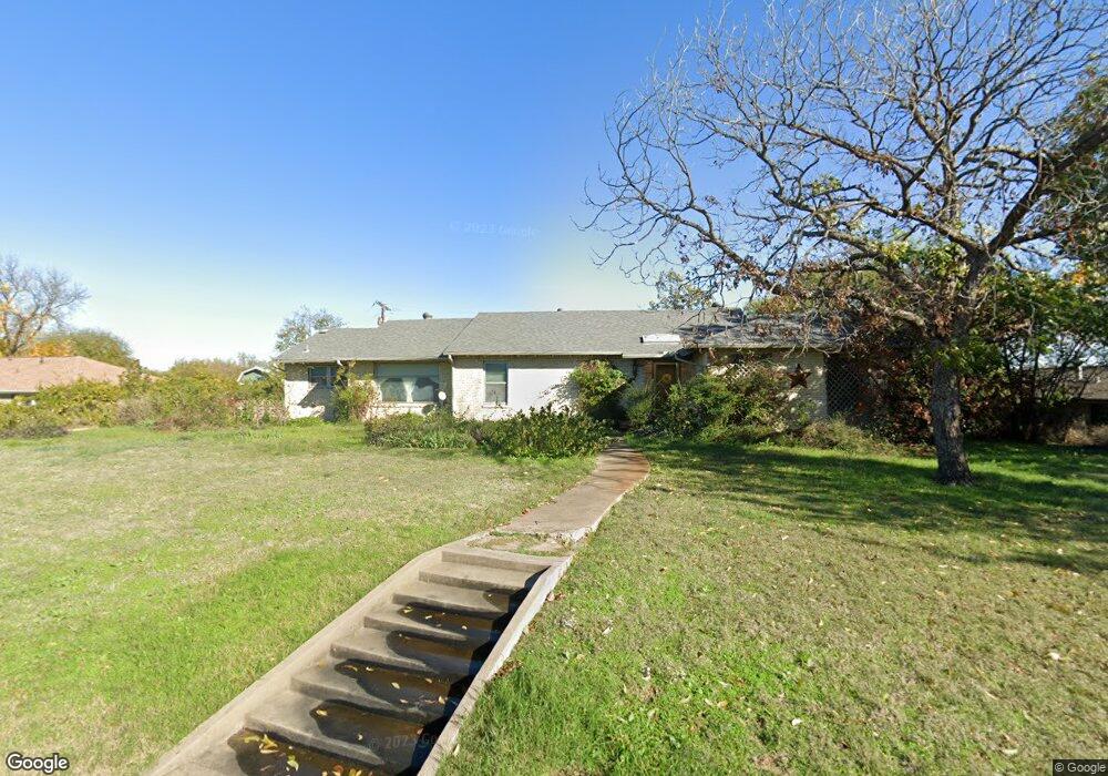
834 Cook Dr Grand Prairie, TX 75050
Estimated Value: $303,000 - $397,000
3
Beds
2
Baths
2,388
Sq Ft
$149/Sq Ft
Est. Value
About This Home
This home is located at 834 Cook Dr, Grand Prairie, TX 75050 and is currently estimated at $355,582, approximately $148 per square foot. 834 Cook Dr is a home located in Dallas County with nearby schools including Stephen F. Austin Elementary School, Crosswinds High School, and Digital Arts & Technology Academy at Adams Middle.
Ownership History
Date
Name
Owned For
Owner Type
Purchase Details
Closed on
Aug 14, 1998
Sold by
Beumer Cecil C and Beumer Margaret Anne
Bought by
Andrews Howard J and Andrews Patricia
Current Estimated Value
Home Financials for this Owner
Home Financials are based on the most recent Mortgage that was taken out on this home.
Original Mortgage
$41,000
Outstanding Balance
$8,538
Interest Rate
6.9%
Mortgage Type
Seller Take Back
Estimated Equity
$347,044
Create a Home Valuation Report for This Property
The Home Valuation Report is an in-depth analysis detailing your home's value as well as a comparison with similar homes in the area
Home Values in the Area
Average Home Value in this Area
Purchase History
| Date | Buyer | Sale Price | Title Company |
|---|---|---|---|
| Andrews Howard J | -- | -- |
Source: Public Records
Mortgage History
| Date | Status | Borrower | Loan Amount |
|---|---|---|---|
| Open | Andrews Howard J | $41,000 |
Source: Public Records
Tax History Compared to Growth
Tax History
| Year | Tax Paid | Tax Assessment Tax Assessment Total Assessment is a certain percentage of the fair market value that is determined by local assessors to be the total taxable value of land and additions on the property. | Land | Improvement |
|---|---|---|---|---|
| 2025 | $774 | $323,220 | $70,000 | $253,220 |
| 2024 | $774 | $323,220 | $70,000 | $253,220 |
| 2023 | $774 | $239,720 | $60,000 | $179,720 |
| 2022 | $6,081 | $239,720 | $60,000 | $179,720 |
| 2021 | $5,430 | $204,320 | $45,000 | $159,320 |
| 2020 | $5,596 | $198,490 | $45,000 | $153,490 |
| 2019 | $5,370 | $183,820 | $45,000 | $138,820 |
| 2018 | $4,811 | $164,650 | $45,000 | $119,650 |
| 2017 | $4,807 | $164,650 | $45,000 | $119,650 |
| 2016 | $3,745 | $128,270 | $45,000 | $83,270 |
| 2015 | $1,392 | $128,270 | $45,000 | $83,270 |
| 2014 | $1,392 | $128,270 | $45,000 | $83,270 |
Source: Public Records
Map
Nearby Homes
- 322 Hill St
- 720 Burleson St
- 1218 W Church St
- 805 NW 9th St
- 529 NE 4th St
- 202 North St
- 1002 Capetown Dr
- 320 Fairhavens Place
- 1005 Capetown Dr
- 2434 Starlight St
- 3682 Zenith Rd
- 1109 Capetown Dr
- 645 NW 10th St
- 226 SW 4th St
- 505 N Carrier Pkwy
- 742 Austrian Rd
- 710 Greenland Way
- 1202 W Strong Pkwy
- 729 Finland St
- 1153 College St