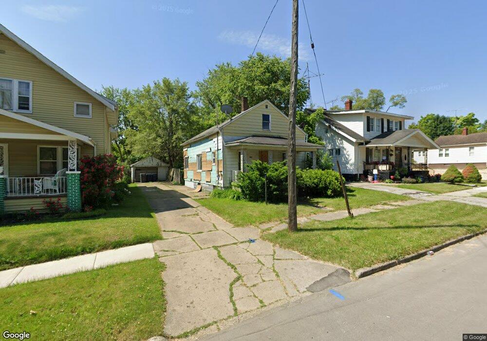
834 E Moore St Flint, MI 48505
King Avenue Plus NeighborhoodEstimated Value: $25,000 - $38,000
2
Beds
1
Bath
768
Sq Ft
$41/Sq Ft
Est. Value
About This Home
This home is located at 834 E Moore St, Flint, MI 48505 and is currently estimated at $31,500, approximately $41 per square foot. 834 E Moore St is a home located in Genesee County with nearby schools including Brownell STEM Academy, The New Standard Academy, and Richfield Public School Academy.
Ownership History
Date
Name
Owned For
Owner Type
Purchase Details
Closed on
Dec 21, 2021
Sold by
Cherry Deborah L
Bought by
Genesee County Land Bank Authority
Current Estimated Value
Purchase Details
Closed on
Apr 4, 2013
Sold by
Treasure Enterprise Llc
Bought by
Ruth & Naomie Llc
Purchase Details
Closed on
Nov 19, 2012
Sold by
Brown Johnny
Bought by
Treasure Enterprise Llc
Purchase Details
Closed on
Dec 10, 2008
Sold by
Treasure Enterprise
Bought by
Brown Johnny O
Purchase Details
Closed on
Nov 1, 2008
Sold by
Hodo Addie
Bought by
Treasure Enterprise
Purchase Details
Closed on
Oct 17, 2005
Sold by
Hodo Addie L
Bought by
Hodo James Edward and Hairston Willie Hodo
Create a Home Valuation Report for This Property
The Home Valuation Report is an in-depth analysis detailing your home's value as well as a comparison with similar homes in the area
Home Values in the Area
Average Home Value in this Area
Purchase History
| Date | Buyer | Sale Price | Title Company |
|---|---|---|---|
| Genesee County Land Bank Authority | -- | None Listed On Document | |
| Ruth & Naomie Llc | -- | None Available | |
| Treasure Enterprise Llc | -- | None Available | |
| Brown Johnny O | -- | None Available | |
| Treasure Enterprise | -- | None Available | |
| Hodo James Edward | -- | Attorney |
Source: Public Records
Tax History
| Year | Tax Paid | Tax Assessment Tax Assessment Total Assessment is a certain percentage of the fair market value that is determined by local assessors to be the total taxable value of land and additions on the property. | Land | Improvement |
|---|---|---|---|---|
| 2025 | -- | $0 | $0 | $0 |
| 2024 | -- | $0 | $0 | $0 |
| 2023 | -- | $0 | $0 | $0 |
| 2022 | $0 | $0 | $0 | $0 |
| 2021 | $517 | $4,000 | $0 | $0 |
| 2020 | $490 | $3,500 | $0 | $0 |
| 2019 | $490 | $3,600 | $0 | $0 |
| 2018 | $448 | $3,600 | $0 | $0 |
| 2017 | $441 | $0 | $0 | $0 |
| 2016 | $439 | $0 | $0 | $0 |
| 2015 | -- | $0 | $0 | $0 |
| 2014 | -- | $0 | $0 | $0 |
| 2012 | -- | $4,200 | $0 | $0 |
Source: Public Records
Map
Nearby Homes
- 4028 North St
- 906 Addison St
- 902 Addison St
- 605 E Baltimore Blvd
- 3810 Marvin St
- 680 E Pierson Rd
- 618 E Parkway Ave
- 630 E Dartmouth St
- 124 W Flint Park Blvd
- 350 E Mott Ave
- 1510 Utah Ave
- 1526 Arizona Ave
- 115 E Genesee St
- 132 W Jamieson St
- 218 E Jackson Ave
- 1422 Leith St
- 329 W Baltimore Blvd
- 217 W Dewey St
- 200 W Mcclellan St
- 1526 Montana Ave
Your Personal Tour Guide
Ask me questions while you tour the home.