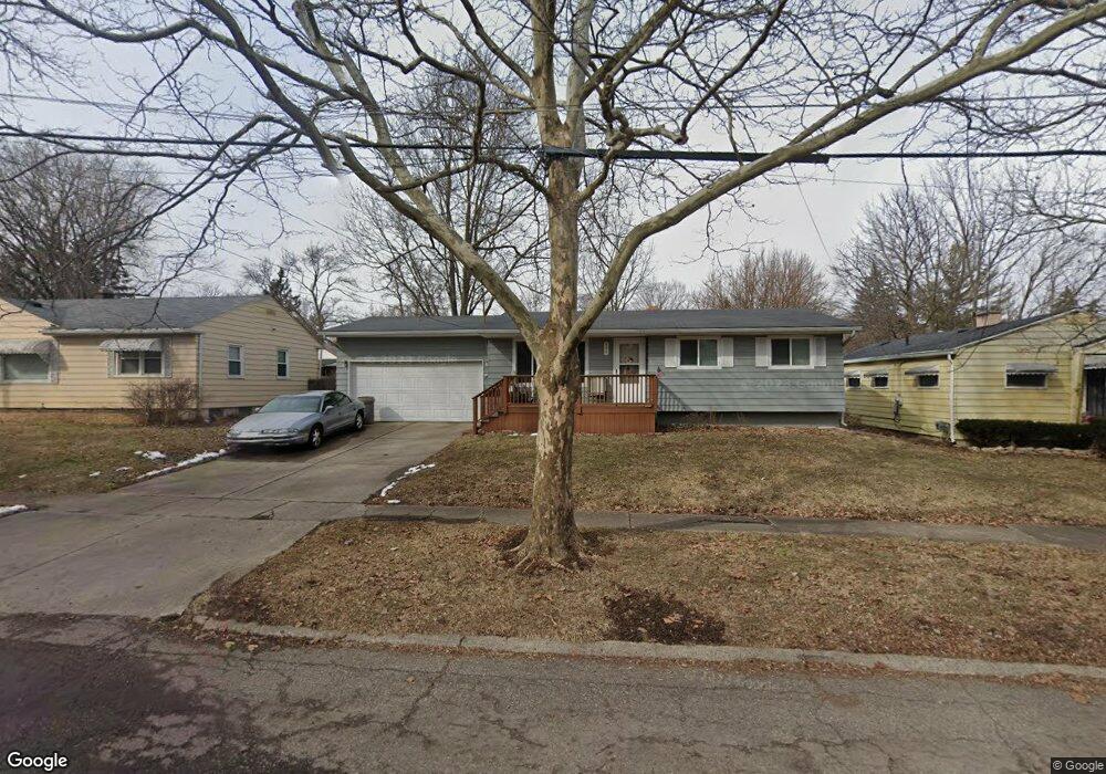
834 Huron St Flint, MI 48507
South Side NeighborhoodEstimated Value: $52,000 - $75,000
3
Beds
1
Bath
926
Sq Ft
$70/Sq Ft
Est. Value
About This Home
This home is located at 834 Huron St, Flint, MI 48507 and is currently estimated at $64,973, approximately $70 per square foot. 834 Huron St is a home located in Genesee County with nearby schools including Neithercut Elementary School, Flint Southwestern Classical Academy, and International Academy of Flint (K-12).
Ownership History
Date
Name
Owned For
Owner Type
Purchase Details
Closed on
Apr 18, 2007
Sold by
Lockwood Roxanne
Bought by
The Bank Of New York and Jpmorgan Chase Bank Na
Current Estimated Value
Purchase Details
Closed on
Dec 29, 2004
Sold by
Lockwood Roxanne and Lockwood Roxann
Bought by
Lockwood Roxanne
Home Financials for this Owner
Home Financials are based on the most recent Mortgage that was taken out on this home.
Original Mortgage
$50,000
Interest Rate
9.75%
Mortgage Type
Adjustable Rate Mortgage/ARM
Create a Home Valuation Report for This Property
The Home Valuation Report is an in-depth analysis detailing your home's value as well as a comparison with similar homes in the area
Home Values in the Area
Average Home Value in this Area
Purchase History
| Date | Buyer | Sale Price | Title Company |
|---|---|---|---|
| The Bank Of New York | $44,090 | None Available | |
| Lockwood Roxanne | -- | Rels Title |
Source: Public Records
Mortgage History
| Date | Status | Borrower | Loan Amount |
|---|---|---|---|
| Previous Owner | Lockwood Roxanne | $50,000 |
Source: Public Records
Tax History Compared to Growth
Tax History
| Year | Tax Paid | Tax Assessment Tax Assessment Total Assessment is a certain percentage of the fair market value that is determined by local assessors to be the total taxable value of land and additions on the property. | Land | Improvement |
|---|---|---|---|---|
| 2025 | $1,169 | $28,100 | $0 | $0 |
| 2024 | $1,082 | $24,600 | $0 | $0 |
| 2023 | $1,057 | $19,400 | $0 | $0 |
| 2022 | $0 | $18,000 | $0 | $0 |
| 2021 | $1,072 | $15,400 | $0 | $0 |
| 2020 | $985 | $12,600 | $0 | $0 |
| 2019 | $963 | $11,400 | $0 | $0 |
| 2018 | $954 | $13,400 | $0 | $0 |
| 2017 | $929 | $0 | $0 | $0 |
| 2016 | $923 | $0 | $0 | $0 |
| 2015 | -- | $0 | $0 | $0 |
| 2014 | -- | $0 | $0 | $0 |
| 2012 | -- | $13,800 | $0 | $0 |
Source: Public Records
Map
Nearby Homes
- 829 Clinton St
- 845 Alvord Ave
- 805 Alvord Ave
- 818 Alvord Ave
- 4418 Brunswick Ave
- 652 Huron St
- 647 Crawford St
- 822 Campbell St
- 1015 Alvord Ave
- 1031 Ingleside Ave
- 738 W Atherton Rd
- 631 Campbell St
- 627 Campbell St
- 727 Waldman Ave
- 1028 Campbell St
- 1039 Markham St
- 1122 Markham St
- 1210 Pinehurst Ave
- 1186 E Decamp St
- 1212 Crawford St