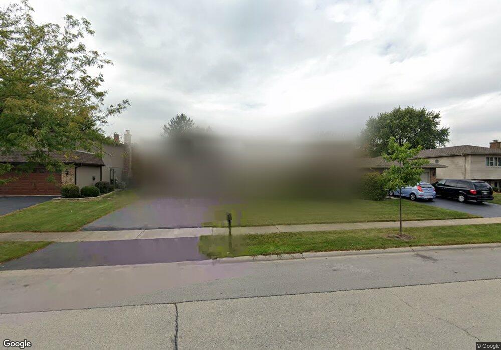
834 Kings Point Dr E Addison, IL 60101
Estimated Value: $406,528 - $490,000
3
Beds
2
Baths
2,022
Sq Ft
$223/Sq Ft
Est. Value
About This Home
This home is located at 834 Kings Point Dr E, Addison, IL 60101 and is currently estimated at $451,632, approximately $223 per square foot. 834 Kings Point Dr E is a home located in DuPage County with nearby schools including Stone Elementary School, Indian Trail Jr High School, and Addison Trail High School.
Ownership History
Date
Name
Owned For
Owner Type
Purchase Details
Closed on
May 22, 2009
Sold by
Frangidakis Zack Nick
Bought by
Frangidakis Zack Nick and Frangidakis Paraskeve
Current Estimated Value
Home Financials for this Owner
Home Financials are based on the most recent Mortgage that was taken out on this home.
Original Mortgage
$261,900
Outstanding Balance
$165,385
Interest Rate
4.84%
Mortgage Type
New Conventional
Estimated Equity
$286,247
Purchase Details
Closed on
Apr 14, 2005
Sold by
Trapani Karen J and The Karen J Trapani Trust
Bought by
Frangidakis Zack Nick
Home Financials for this Owner
Home Financials are based on the most recent Mortgage that was taken out on this home.
Original Mortgage
$274,400
Interest Rate
5.89%
Mortgage Type
Purchase Money Mortgage
Purchase Details
Closed on
Feb 9, 2004
Sold by
Trapani Karen
Bought by
Trapani Karen J and Karen J Trapani Trust
Create a Home Valuation Report for This Property
The Home Valuation Report is an in-depth analysis detailing your home's value as well as a comparison with similar homes in the area
Home Values in the Area
Average Home Value in this Area
Purchase History
| Date | Buyer | Sale Price | Title Company |
|---|---|---|---|
| Frangidakis Zack Nick | -- | Plymouth Title Guaranty | |
| Frangidakis Zack Nick | $343,000 | First American Title | |
| Trapani Karen J | -- | -- |
Source: Public Records
Mortgage History
| Date | Status | Borrower | Loan Amount |
|---|---|---|---|
| Open | Frangidakis Zack Nick | $261,900 | |
| Closed | Frangidakis Zack Nick | $274,400 |
Source: Public Records
Tax History
| Year | Tax Paid | Tax Assessment Tax Assessment Total Assessment is a certain percentage of the fair market value that is determined by local assessors to be the total taxable value of land and additions on the property. | Land | Improvement |
|---|---|---|---|---|
| 2024 | $8,349 | $127,086 | $38,491 | $88,595 |
| 2023 | $7,925 | $116,220 | $35,200 | $81,020 |
| 2022 | $7,644 | $109,690 | $34,980 | $74,710 |
| 2021 | $7,261 | $104,210 | $33,230 | $70,980 |
| 2020 | $7,195 | $101,670 | $32,420 | $69,250 |
| 2019 | $7,164 | $97,700 | $31,150 | $66,550 |
| 2018 | $6,824 | $89,770 | $28,620 | $61,150 |
| 2017 | $6,442 | $83,210 | $26,530 | $56,680 |
| 2016 | $6,268 | $77,010 | $24,550 | $52,460 |
| 2015 | $6,176 | $71,860 | $22,910 | $48,950 |
| 2014 | $5,786 | $67,220 | $22,070 | $45,150 |
| 2013 | $5,755 | $69,520 | $22,820 | $46,700 |
Source: Public Records
Map
Nearby Homes
- 823 N Harrow Ct
- 1770 W Windmill Ct
- 971 N Rohlwing Rd Unit GB
- 940 N Rohlwing Rd Unit 201A
- 953 N Rohlwing Rd Unit GB
- 1651 W Goldengate Dr
- 865 N Tamarac Blvd
- 881 N Swift Rd Unit 206
- 941 N Swift Rd Unit 302
- 551 N Plamondon Dr
- 1354 W Byron Ave Unit D
- 1210 N Foxdale Dr Unit 109
- 1306 W Byron Ave
- 1200 N Foxdale Dr Unit 205
- 5N210 Central Rd
- 1259 W Lake St Unit 203
- 3N662 Elizabeth St
- 20W561 Army Trail Blvd
- 1113 N Itasca Rd
- 1227 N Ashley Ln
- 838 Kings Point Dr E
- 830 Kings Point Dr E
- 831 N Cambridge Row
- 842 Kings Point Dr E
- 826 Kings Point Dr E
- 827 N Cambridge Row
- 827 N Cambridge Row Unit 827
- 827 N Cambridge Row Unit 1
- 835 N Cambridge Row
- 839 N Cambridge Row
- 835 Kings Point Dr E
- 846 Kings Point Dr E
- 822 Kings Point Dr E
- 839 Kings Point Dr E
- 827 Kings Point Dr E
- 843 N Cambridge Row
- 843 Kings Point Dr E
- 823 Kings Point Dr E
- 811 N Rumple Ln
- 815 N Rumple Ln
Your Personal Tour Guide
Ask me questions while you tour the home.