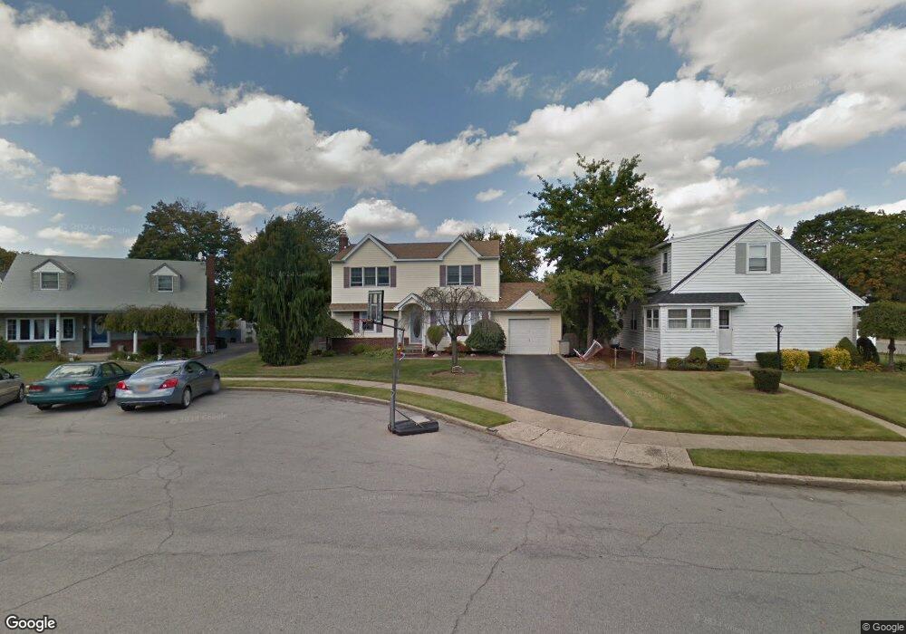
834 Michael Ct East Meadow, NY 11554
Estimated Value: $834,874 - $940,000
--
Bed
3
Baths
1,824
Sq Ft
$487/Sq Ft
Est. Value
About This Home
This home is located at 834 Michael Ct, East Meadow, NY 11554 and is currently estimated at $887,437, approximately $486 per square foot. 834 Michael Ct is a home located in Nassau County with nearby schools including Barnum Woods School, Woodland Middle School, and Sacred Heart School.
Ownership History
Date
Name
Owned For
Owner Type
Purchase Details
Closed on
Sep 3, 1999
Sold by
Harkins Jean
Bought by
Avery Robert and Avery Joanne
Current Estimated Value
Home Financials for this Owner
Home Financials are based on the most recent Mortgage that was taken out on this home.
Original Mortgage
$193,252
Interest Rate
7.91%
Mortgage Type
FHA
Create a Home Valuation Report for This Property
The Home Valuation Report is an in-depth analysis detailing your home's value as well as a comparison with similar homes in the area
Home Values in the Area
Average Home Value in this Area
Purchase History
| Date | Buyer | Sale Price | Title Company |
|---|---|---|---|
| Avery Robert | $210,000 | -- |
Source: Public Records
Mortgage History
| Date | Status | Borrower | Loan Amount |
|---|---|---|---|
| Previous Owner | Avery Robert | $193,252 |
Source: Public Records
Tax History Compared to Growth
Tax History
| Year | Tax Paid | Tax Assessment Tax Assessment Total Assessment is a certain percentage of the fair market value that is determined by local assessors to be the total taxable value of land and additions on the property. | Land | Improvement |
|---|---|---|---|---|
| 2025 | $14,891 | $604 | $287 | $317 |
| 2024 | $5,215 | $604 | $287 | $317 |
| 2023 | $14,922 | $604 | $287 | $317 |
| 2022 | $14,922 | $604 | $287 | $317 |
| 2021 | $20,895 | $587 | $279 | $308 |
| 2020 | $15,864 | $918 | $656 | $262 |
| 2019 | $15,726 | $918 | $656 | $262 |
| 2018 | $14,068 | $918 | $0 | $0 |
| 2017 | $7,823 | $918 | $656 | $262 |
| 2016 | $12,569 | $918 | $656 | $262 |
| 2015 | $4,188 | $918 | $656 | $262 |
| 2014 | $4,188 | $918 | $656 | $262 |
| 2013 | $3,878 | $918 | $656 | $262 |
Source: Public Records
Map
Nearby Homes
- 1689 Barbara Ln
- 1434 Mark Dr
- 755 Durham Rd
- 935 Winthrop Dr
- 614 Bond Ct
- 985 Merrick Ave
- 978 Little Whaleneck Rd
- 1745 Gerose Ct
- 1459 Prospect Ave
- 861 Maple Ln
- 761 Barkley Ave
- 1016 Tyrus Ct
- 734 Wenwood Dr
- 1543 William St
- 1855 Zana Ct
- 1390 Wilson Rd
- 437 Cedar Ln
- 1460 Tyler Ave
- 985 North Dr
- 427 Benito St
- 832 Stratford Dr
- 836 Michael Ct
- 767 Surrey Dr
- 824 Stratford Dr
- 771 Surrey Dr
- 838 Michael Ct
- 840 Michael Ct
- 844 Michael Ct
- 781 Surrey Dr
- 795 Surrey Dr
- 842 Michael Ct
- 801 Surrey Dr
- 825 Stratford Dr
- 850 Stratford Dr
- 837 Stratford Dr
- 756 Surrey Dr
- 766 Surrey Dr
- 817 Stratford Dr
- 831 Stratford Dr
- 811 Surrey Dr