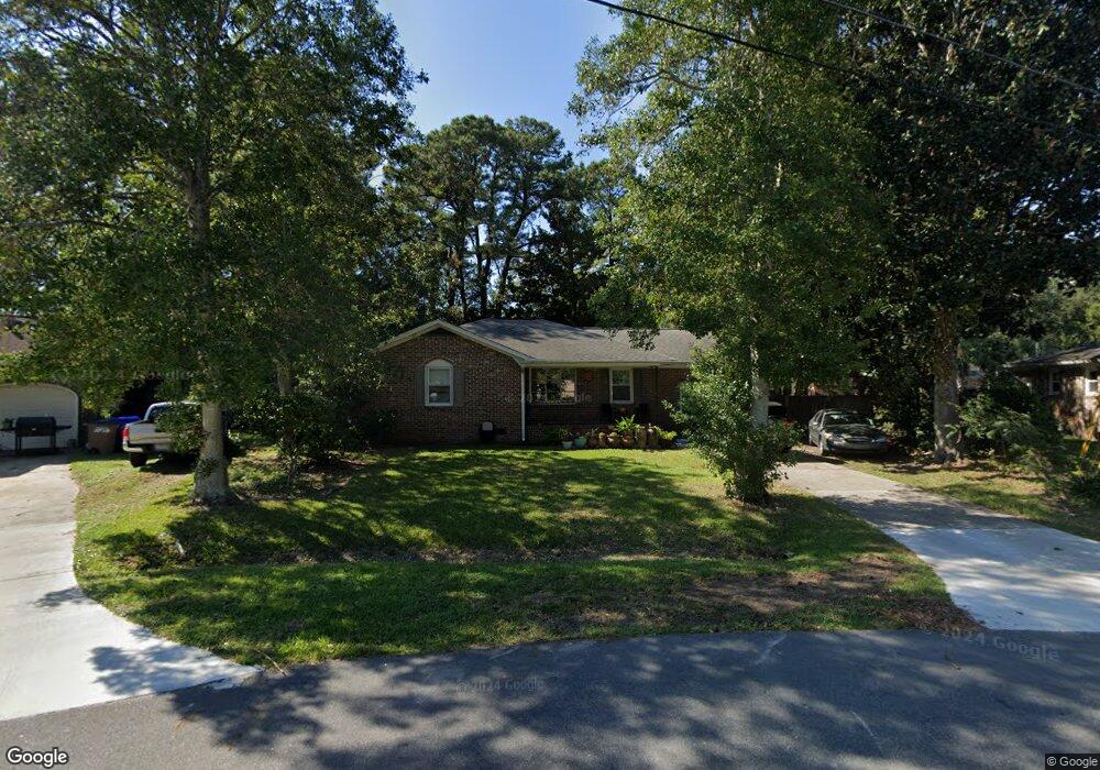
834 Piccadilly Cir Charleston, SC 29412
James Island NeighborhoodEstimated Value: $536,000 - $637,000
3
Beds
2
Baths
1,790
Sq Ft
$339/Sq Ft
Est. Value
About This Home
This home is located at 834 Piccadilly Cir, Charleston, SC 29412 and is currently estimated at $607,205, approximately $339 per square foot. 834 Piccadilly Cir is a home located in Charleston County with nearby schools including Stiles Point Elementary School, Camp Road Middle, and James Island Charter High School.
Ownership History
Date
Name
Owned For
Owner Type
Purchase Details
Closed on
Aug 2, 2021
Sold by
Purcell Jared J
Bought by
Huff Robert and Fete Rachel
Current Estimated Value
Home Financials for this Owner
Home Financials are based on the most recent Mortgage that was taken out on this home.
Original Mortgage
$397,700
Outstanding Balance
$361,088
Interest Rate
2.8%
Mortgage Type
New Conventional
Estimated Equity
$246,117
Purchase Details
Closed on
Oct 18, 2005
Sold by
Livermore Keith F J
Bought by
Newman Jennifer E
Purchase Details
Closed on
Aug 9, 2004
Sold by
Livermore Keith
Bought by
Livermore Keith
Create a Home Valuation Report for This Property
The Home Valuation Report is an in-depth analysis detailing your home's value as well as a comparison with similar homes in the area
Home Values in the Area
Average Home Value in this Area
Purchase History
| Date | Buyer | Sale Price | Title Company |
|---|---|---|---|
| Huff Robert | $410,000 | None Available | |
| Newman Jennifer E | $224,500 | -- | |
| Livermore Keith | -- | -- |
Source: Public Records
Mortgage History
| Date | Status | Borrower | Loan Amount |
|---|---|---|---|
| Open | Huff Robert | $397,700 |
Source: Public Records
Tax History Compared to Growth
Tax History
| Year | Tax Paid | Tax Assessment Tax Assessment Total Assessment is a certain percentage of the fair market value that is determined by local assessors to be the total taxable value of land and additions on the property. | Land | Improvement |
|---|---|---|---|---|
| 2024 | $1,373 | $11,070 | $0 | $0 |
| 2023 | $1,373 | $11,070 | $0 | $0 |
| 2022 | $1,241 | $11,070 | $0 | $0 |
| 2021 | $1,327 | $11,070 | $0 | $0 |
| 2020 | $1,342 | $11,070 | $0 | $0 |
| 2019 | $1,228 | $9,630 | $0 | $0 |
| 2017 | $1,302 | $9,630 | $0 | $0 |
| 2016 | $1,249 | $9,630 | $0 | $0 |
| 2015 | $1,295 | $9,630 | $0 | $0 |
| 2014 | $1,087 | $0 | $0 | $0 |
| 2011 | -- | $0 | $0 | $0 |
Source: Public Records
Map
Nearby Homes
- 939 Mikell Dr
- 1098 Blue Marlin Dr
- 1146 Brigantine Dr
- 1147 Lighthouse Blvd
- 932 Portabella Ln
- 954 Harbortowne Rd
- 965 Mooring Dr
- 776 Grimsley Dr
- 1332 Salt Marsh Cove
- 865 Duvall St
- 1024 Greenhill Rd
- 1032 Greenhill Rd Unit A
- 1075 Wayfarer Ln
- 634 Lynne Ave
- 637 Lynne Ave
- 1102 Williams Rd
- 800 Heyward Cove Place
- 1013 Jamsie Cove Dr
- 1427 Rivers Cotton Rd
- 1439 Rivers Cotton Rd
- 838 Piccadilly Cir
- 830 Piccadilly Cir
- 841 Fort Johnson Rd
- 845 Fort Johnson Rd
- 833 Fort Johnson Rd
- 842 Piccadilly Cir
- 835 Piccadilly Cir
- 826 Piccadilly Cir
- 827 Piccadilly Cir
- 829 Fort Johnson Rd
- 841 Piccadilly Cir
- 842 Fort Johnson Rd
- 823 Piccadilly Cir
- 849 Piccadilly Cir
- 823 Fort Johnson Rd
- 834 Fort Johnson Rd
- 1016 Benton Bend Rd
- 818 Piccadilly Cir
- 853 Piccadilly Cir
- 819 Piccadilly Cir