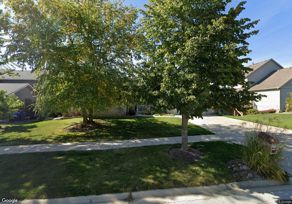
834 Shepherd Ln Elburn, IL 60119
Estimated Value: $409,509 - $482,000
--
Bed
--
Bath
2,259
Sq Ft
$197/Sq Ft
Est. Value
About This Home
This home is located at 834 Shepherd Ln, Elburn, IL 60119 and is currently estimated at $444,377, approximately $196 per square foot. 834 Shepherd Ln is a home located in Kane County with nearby schools including Kaneland John Stewart Elementary School, Harter Middle School, and Kaneland Senior High School.
Ownership History
Date
Name
Owned For
Owner Type
Purchase Details
Closed on
Mar 14, 2001
Sold by
Olmsted Corp
Bought by
Kurtin Charles and Kurtin Susan
Current Estimated Value
Home Financials for this Owner
Home Financials are based on the most recent Mortgage that was taken out on this home.
Original Mortgage
$235,700
Outstanding Balance
$86,531
Interest Rate
7.13%
Estimated Equity
$357,846
Create a Home Valuation Report for This Property
The Home Valuation Report is an in-depth analysis detailing your home's value as well as a comparison with similar homes in the area
Home Values in the Area
Average Home Value in this Area
Purchase History
| Date | Buyer | Sale Price | Title Company |
|---|---|---|---|
| Kurtin Charles | $250,000 | First American Title Ins Co | |
| Olmsted Corp | -- | First American Title Ins Co |
Source: Public Records
Mortgage History
| Date | Status | Borrower | Loan Amount |
|---|---|---|---|
| Open | Kurtin Charles | $235,700 |
Source: Public Records
Tax History Compared to Growth
Tax History
| Year | Tax Paid | Tax Assessment Tax Assessment Total Assessment is a certain percentage of the fair market value that is determined by local assessors to be the total taxable value of land and additions on the property. | Land | Improvement |
|---|---|---|---|---|
| 2024 | $9,549 | $125,757 | $20,652 | $105,105 |
| 2023 | $9,211 | $112,434 | $18,464 | $93,970 |
| 2022 | $9,137 | $102,446 | $16,824 | $85,622 |
| 2021 | $8,059 | $96,729 | $15,885 | $80,844 |
| 2020 | $8,646 | $95,337 | $15,656 | $79,681 |
| 2019 | $8,634 | $93,937 | $15,426 | $78,511 |
| 2018 | $8,786 | $93,937 | $15,426 | $78,511 |
| 2017 | $8,480 | $92,558 | $15,200 | $77,358 |
| 2016 | $9,265 | $90,221 | $14,816 | $75,405 |
| 2015 | -- | $87,730 | $14,407 | $73,323 |
| 2014 | -- | $89,075 | $14,628 | $74,447 |
| 2013 | -- | $90,569 | $14,873 | $75,696 |
Source: Public Records
Map
Nearby Homes
- 524 Highland Dr
- The Williamson Plan at Williams Ridge
- The Haven Plan at Williams Ridge
- The Varner Plan at Williams Ridge
- The Braxton Plan at Williams Ridge
- The Ashbury Plan at Williams Ridge
- The Erie Plan at Williams Ridge
- The Lincoln Plan at Williams Ridge
- The Bettendorf Plan at Williams Ridge
- The Superior Plan at Williams Ridge
- The Halsted Plan at Williams Ridge
- The Ontario Plan at Williams Ridge
- The Aspen - Front Load Plan at Williams Ridge
- The Westwood Plan at Williams Ridge
- Lot 82 Houtz Cir
- Lot 77 Houtz Cir
- Lot 79 Houtz Cir
- Lot 75 Houtz Cir
- Lot 74 Houtz Cir
- 437 E Willow St Unit 437
- 822 Shepherd Ln
- 757 Tiller St
- 743 Tiller St
- 810 Shepherd Ln
- 831 Shepherd Ln
- 833 Shepherd Ln
- 841 Shepherd Ln
- 821 Shepherd Ln
- 723 Tiller St
- 835 Shepherd Ln
- 835 Shepherd Ln Unit 835
- 843 Shepherd Ln
- 758 Tiller St
- 823 Shepherd Ln
- 845 Shepherd Ln
- 837 Shepherd Ln
- 800 Shepherd Ln
- 825 Shepherd Ln
- 847 Shepherd Ln
- 811 Shepherd Ln