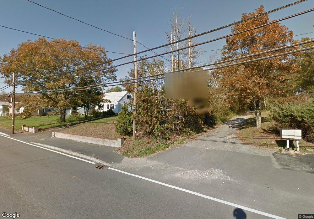
834 State Rd Westport, MA 02790
North Westport NeighborhoodEstimated Value: $386,126 - $472,000
2
Beds
--
Bath
1,209
Sq Ft
$346/Sq Ft
Est. Value
About This Home
This home is located at 834 State Rd, Westport, MA 02790 and is currently estimated at $418,782, approximately $346 per square foot. 834 State Rd is a home located in Bristol County with nearby schools including Alice A. Macomber Primary School, Westport Elementary School, and Westport Middle-High School.
Ownership History
Date
Name
Owned For
Owner Type
Purchase Details
Closed on
Oct 2, 1990
Sold by
Sylvia Anna
Bought by
Medeiros Carl J
Current Estimated Value
Home Financials for this Owner
Home Financials are based on the most recent Mortgage that was taken out on this home.
Original Mortgage
$190,000
Interest Rate
9.95%
Mortgage Type
Purchase Money Mortgage
Create a Home Valuation Report for This Property
The Home Valuation Report is an in-depth analysis detailing your home's value as well as a comparison with similar homes in the area
Home Values in the Area
Average Home Value in this Area
Purchase History
| Date | Buyer | Sale Price | Title Company |
|---|---|---|---|
| Medeiros Carl J | $117,500 | -- |
Source: Public Records
Mortgage History
| Date | Status | Borrower | Loan Amount |
|---|---|---|---|
| Closed | Medeiros Carl J | $190,000 |
Source: Public Records
Tax History Compared to Growth
Tax History
| Year | Tax Paid | Tax Assessment Tax Assessment Total Assessment is a certain percentage of the fair market value that is determined by local assessors to be the total taxable value of land and additions on the property. | Land | Improvement |
|---|---|---|---|---|
| 2025 | $2,312 | $310,400 | $132,500 | $177,900 |
| 2024 | $2,310 | $298,800 | $122,800 | $176,000 |
| 2023 | $2,179 | $267,000 | $104,600 | $162,400 |
| 2022 | $2,059 | $242,800 | $104,600 | $138,200 |
| 2021 | $2,039 | $236,600 | $95,100 | $141,500 |
| 2020 | $1,963 | $232,800 | $91,300 | $141,500 |
| 2019 | $2,038 | $246,400 | $96,700 | $149,700 |
| 2018 | $2,057 | $251,800 | $115,700 | $136,100 |
| 2017 | $1,979 | $248,300 | $115,700 | $132,600 |
| 2016 | $1,921 | $242,800 | $115,700 | $127,100 |
| 2015 | $1,773 | $223,600 | $115,700 | $107,900 |
Source: Public Records
Map
Nearby Homes
- 15 S Breault St
- 16 S Berryman St
- 0 Van Buren St
- 9 Kyle Jacob Rd
- 116 Gifford Rd
- 565 Highland Ave
- 20 Faulkner St
- 27 Dias Ave
- 96 Forge Rd
- 29 Union Ave
- 1276 Old Fall River Rd
- 56 Lakeside Ave
- 100 D Dr
- 55 Lakeside Ave
- 3 Diane Way
- 19 Charles Joseph Dr
- 735 Reed Rd
- 818 Reed Rd
- 2 Donna Marie Dr
- 3 Roller Coaster Way Unit Lot 1
- 832 State Rd
- 842 State Rd
- 842 State Rd Unit 1
- 15 Bassett Ave
- 8 Bassett Ave
- 826 State Rd
- 7 Maynard St
- 822 State Rd
- 19 Bassett Ave
- 848 State Rd Unit 5
- 844 State Rd Unit 850
- 848 State Rd Unit 4
- 848 State Rd
- 3 Johnson St
- 1 Maynard St Unit 2
- 1 Maynard St Unit 8
- 1 Maynard St Unit 1
- 1 Maynard St Unit 3
- 1 Maynard St
- 1 Maynard St Unit 7