Estimated Value: $553,419 - $1,325,000
4
Beds
1
Bath
1,752
Sq Ft
$500/Sq Ft
Est. Value
About This Home
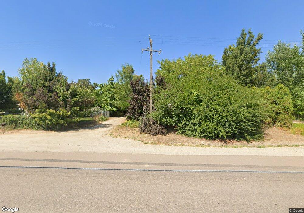
This home is located at 8340 Highway 20/26, Nampa, ID 83687 and is currently estimated at $875,855, approximately $499 per square foot. 8340 Highway 20/26 is a home located in Canyon County with nearby schools including East Canyon Elementary School, Ridgevue High School, and Vision Charter School.
Ownership History
Date
Name
Owned For
Owner Type
Purchase Details
Closed on
Jun 6, 2025
Sold by
Lorinda Norton Family Trust and Norton Lorinda
Bought by
Idaho Transportation Department
Current Estimated Value
Purchase Details
Closed on
Mar 13, 2023
Sold by
Norton Lorinda
Bought by
Lorinda Norton Family Trust
Purchase Details
Closed on
Jan 11, 2021
Sold by
Norton Lorinda
Bought by
Norton Lorinda
Purchase Details
Closed on
Dec 31, 2019
Sold by
Arroway Farms Inc
Bought by
Norton Lorinda
Purchase Details
Closed on
Jan 29, 2019
Sold by
Arroway Farms Inc
Bought by
Norton Lorinda
Purchase Details
Closed on
Apr 1, 2017
Sold by
Norton Carl S
Bought by
Norton Lorinda J
Purchase Details
Closed on
Jan 11, 2017
Sold by
Arroway Farms Inc
Bought by
Norton Carl and Norton Lorinda
Purchase Details
Closed on
Jul 22, 2016
Sold by
Arroway Farms Inc
Bought by
Norton Carl and Norton Lorinda
Create a Home Valuation Report for This Property
The Home Valuation Report is an in-depth analysis detailing your home's value as well as a comparison with similar homes in the area
Home Values in the Area
Average Home Value in this Area
Purchase History
| Date | Buyer | Sale Price | Title Company |
|---|---|---|---|
| Idaho Transportation Department | -- | Alliance Title | |
| Lorinda Norton Family Trust | -- | -- | |
| Norton Lorinda | -- | None Available | |
| Norton Lorinda | -- | None Available | |
| Norton Lorinda | -- | Accommodation | |
| Norton Lorinda J | -- | None Available | |
| Norton Carl | -- | Accommodation | |
| Norton Carl | -- | Accommodation |
Source: Public Records
Tax History Compared to Growth
Tax History
| Year | Tax Paid | Tax Assessment Tax Assessment Total Assessment is a certain percentage of the fair market value that is determined by local assessors to be the total taxable value of land and additions on the property. | Land | Improvement |
|---|---|---|---|---|
| 2025 | $1,398 | $446,220 | $200,320 | $245,900 |
| 2024 | $1,398 | $426,340 | $200,340 | $226,000 |
| 2023 | $1,343 | $413,860 | $200,360 | $213,500 |
| 2022 | $1,720 | $455,450 | $220,350 | $235,100 |
| 2021 | $1,769 | $334,730 | $120,330 | $214,400 |
| 2020 | $2,764 | $263,510 | $95,310 | $168,200 |
| 2019 | $2,826 | $244,510 | $80,310 | $164,200 |
| 2018 | $2,728 | $0 | $0 | $0 |
| 2017 | $2,476 | $0 | $0 | $0 |
| 2016 | $2,351 | $0 | $0 | $0 |
| 2015 | $2,076 | $0 | $0 | $0 |
| 2014 | $2,016 | $144,310 | $40,210 | $104,100 |
Source: Public Records
Map
Nearby Homes
- 8300 U S 20
- 8231 Highway 20 26
- 7898 E Hilton Head St
- 7862 E Hilton Head St
- Plan 1478 at Cherry Grove - Meadows
- Plan 2892 at Cherry Grove - Meadows
- Plan 2070 at Cherry Grove - Meadows
- Plan 2755 at Cherry Grove - Meadows
- Plan 2391 at Cherry Grove - Meadows
- Plan 2018 Modeled at Cherry Grove - Meadows
- Plan 2330 Modeled at Cherry Grove - Meadows
- Plan 2602 Modeled at Cherry Grove - Meadows
- Plan 1646 at Cherry Grove - Meadows
- Plan 1570 Modeled at Cherry Grove - Meadows
- Plan 1265 at Cherry Grove - Meadows
- 7838 E Hilton Head St
- 7839 E Hilton Head St
- 7938 E Antebellum St
- 7865 E Beaufort St
- 7914 E Antebellum St
- 8300 Highway 20/26
- 8434 Highway 20/26
- TBD Hwy 20-20
- 8444 Highway 20/26
- 8231 Highway 20/26
- 8160 Highway 20/26
- 8528 Highway 20/26
- 8249 E Drinkard Ln
- TBD Hwy 20 26
- 8225 E Drinkard Ln
- 0 Hwy 20 26 Unit 98663771
- 0 Hwy 20 26 Unit 98645485
- 0 Hwy 20 26 Unit 98756101
- 0 Hwy 20 26 Unit 98722094
- 8250 E Drinkard Ln
- 20325 Franklin Rd
- TBD Hwy 20-26
- 8548 Highway 20/26
- 8059 Highway 20/26
- 20185 Franklin Rd
