8340 Kenningston Way Duluth, GA 30097
Estimated Value: $1,049,853 - $1,177,000
4
Beds
5
Baths
4,019
Sq Ft
$276/Sq Ft
Est. Value
About This Home
This home is located at 8340 Kenningston Way, Duluth, GA 30097 and is currently estimated at $1,108,963, approximately $275 per square foot. 8340 Kenningston Way is a home located in Forsyth County with nearby schools including Johns Creek Elementary School, Riverwatch Middle School, and Lambert High School.
Ownership History
Date
Name
Owned For
Owner Type
Purchase Details
Closed on
Jan 28, 2021
Sold by
Plunkett Lee W
Bought by
Lee Plunkett Liv Tr
Current Estimated Value
Purchase Details
Closed on
Mar 15, 1995
Sold by
Whitehurst David Homes Inc
Bought by
Plunkett Lee W Frankie A
Create a Home Valuation Report for This Property
The Home Valuation Report is an in-depth analysis detailing your home's value as well as a comparison with similar homes in the area
Home Values in the Area
Average Home Value in this Area
Purchase History
| Date | Buyer | Sale Price | Title Company |
|---|---|---|---|
| Lee Plunkett Liv Tr | -- | -- | |
| Plunkett Lee W Frankie A | $80,000 | -- |
Source: Public Records
Mortgage History
| Date | Status | Borrower | Loan Amount |
|---|---|---|---|
| Closed | Plunkett Lee W Frankie A | $0 |
Source: Public Records
Tax History Compared to Growth
Tax History
| Year | Tax Paid | Tax Assessment Tax Assessment Total Assessment is a certain percentage of the fair market value that is determined by local assessors to be the total taxable value of land and additions on the property. | Land | Improvement |
|---|---|---|---|---|
| 2025 | $1,381 | $394,760 | $90,000 | $304,760 |
| 2024 | $1,381 | $370,140 | $72,000 | $298,140 |
| 2023 | $1,301 | $343,988 | $64,800 | $279,188 |
| 2022 | $1,340 | $227,776 | $54,000 | $173,776 |
| 2021 | $1,318 | $227,776 | $54,000 | $173,776 |
| 2020 | $1,302 | $210,648 | $54,000 | $156,648 |
| 2019 | $1,309 | $209,440 | $54,000 | $155,440 |
| 2018 | $1,327 | $209,552 | $54,000 | $155,552 |
| 2017 | $1,324 | $192,408 | $54,000 | $138,408 |
| 2016 | $4,703 | $174,408 | $36,000 | $138,408 |
| 2015 | $4,711 | $174,408 | $36,000 | $138,408 |
| 2014 | $4,222 | $162,764 | $0 | $0 |
Source: Public Records
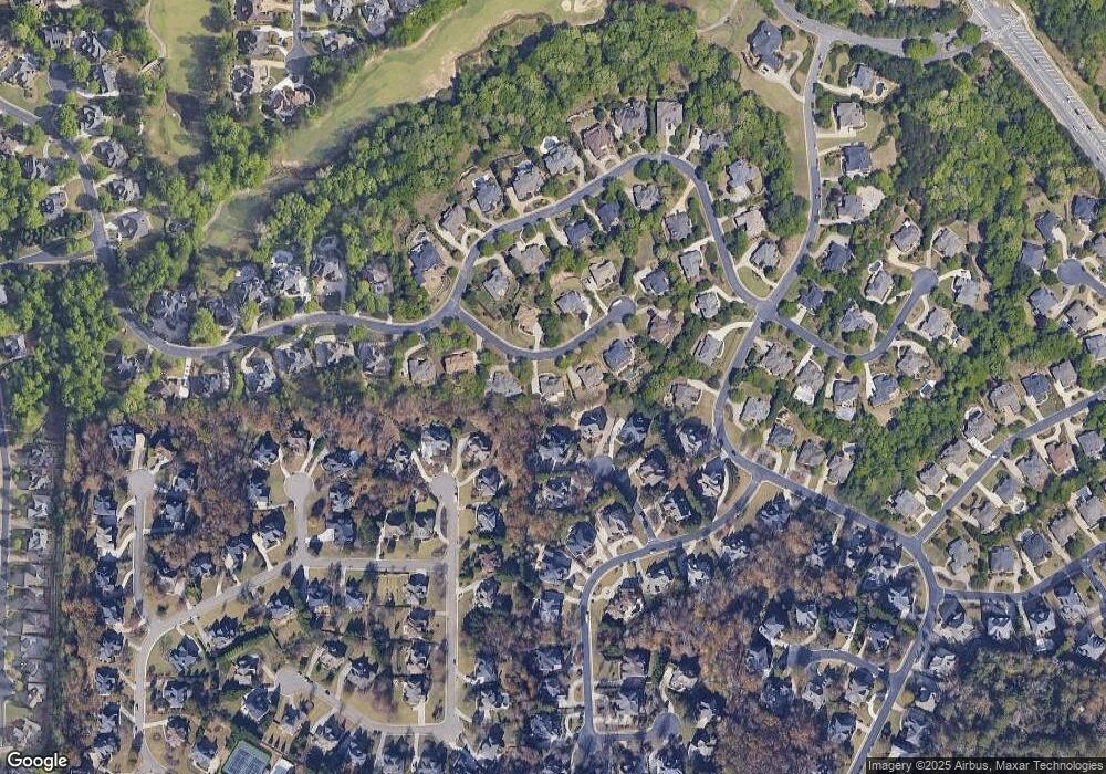
Map
Nearby Homes
- 8320 Kenningston Way
- 1370 Boomer Cir
- 8630 Moor Park Run
- 1020 Grace Ct
- 8935 Muirfield Ct
- 6555 Fairfield Trace
- 7685 Settles Walk Ln
- 955 Gardiner Cir
- 6745 Fairfield Trace
- 7745 Saint Marlo Country Club Pkwy
- 7945 Saint Marlo Fairway Dr
- 8060 Derbyshire Ct
- 5745 Overlook Station Dr
- 7315 Craigleith Dr
- 6580 Marlowe Glen Way
- 8405 Saint Marlo Fairway Dr
- 7405 Ledgewood Way
- 8350 Kenningston Way
- 8330 Kenningston Way
- 8740 Belfry Ct
- 8735 Belfry Ct
- 8335 Kenningston Way
- 1365 Boomer Cir
- 8360 Kenningston Way Unit 270
- 8730 Belfry Ct
- 8355 Kenningston Way
- 8725 Belfry Ct Unit 396
- 8725 Belfry Ct
- 1375 Boomer Cir
- 8310 Royal Troon Dr
- 8720 Belfry Ct
- 1360 Boomer Cir Unit 2
- 0 Kenningston Way Unit 7024918
- 0 Kenningston Way Unit 7547274
- 8250 Royal Troon Dr
- 8250 Royal Troon Dr Unit 275
- 8365 Kenningston Way Unit 267