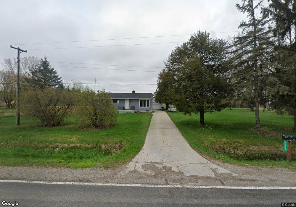
8341 Frances Rd Flushing, MI 48433
Estimated Value: $188,099 - $248,000
Studio
1
Bath
1,305
Sq Ft
$162/Sq Ft
Est. Value
About This Home
This home is located at 8341 Frances Rd, Flushing, MI 48433 and is currently estimated at $210,775, approximately $161 per square foot. 8341 Frances Rd is a home located in Genesee County with nearby schools including Carter Elementary School, Kuehn-Haven Middle School, and Hill-McCloy High School.
Ownership History
Date
Name
Owned For
Owner Type
Purchase Details
Closed on
Mar 13, 2015
Sold by
Mayball Duane L and Mayball Patricia M
Bought by
Potter Richard and Potter Teresa M
Current Estimated Value
Purchase Details
Closed on
Aug 11, 2010
Sold by
Mayball Duane L and Mayball Patricia M
Bought by
Potter Richard and Potter Theresa M
Purchase Details
Closed on
Mar 3, 2010
Sold by
Mayball Patricia M
Bought by
Mayball Duane L and Mayball Patricia M
Purchase Details
Closed on
Jan 19, 2010
Sold by
Oleyar Michael A and Mayball Patricia M
Bought by
Mayball Patricia M
Create a Home Valuation Report for This Property
The Home Valuation Report is an in-depth analysis detailing your home's value as well as a comparison with similar homes in the area
Home Values in the Area
Average Home Value in this Area
Purchase History
| Date | Buyer | Sale Price | Title Company |
|---|---|---|---|
| Potter Richard | $100,000 | Sargents Title Company | |
| Potter Richard | -- | None Available | |
| Mayball Duane L | -- | None Available | |
| Mayball Patricia M | -- | Sargents Title Company |
Source: Public Records
Tax History
| Year | Tax Paid | Tax Assessment Tax Assessment Total Assessment is a certain percentage of the fair market value that is determined by local assessors to be the total taxable value of land and additions on the property. | Land | Improvement |
|---|---|---|---|---|
| 2025 | $2,152 | $80,500 | $0 | $0 |
| 2024 | $604 | $76,500 | $0 | $0 |
| 2023 | $576 | $68,800 | $0 | $0 |
| 2022 | $1,897 | $62,300 | $0 | $0 |
| 2021 | $1,881 | $60,300 | $0 | $0 |
| 2020 | $527 | $57,200 | $0 | $0 |
| 2019 | $518 | $52,400 | $0 | $0 |
| 2018 | $1,746 | $47,600 | $0 | $0 |
| 2017 | $492 | $47,600 | $0 | $0 |
| 2016 | $1,618 | $44,500 | $0 | $0 |
| 2015 | $1,468 | $43,700 | $0 | $0 |
| 2014 | $478 | $42,200 | $0 | $0 |
| 2012 | -- | $40,700 | $40,700 | $0 |
Source: Public Records
Map
Nearby Homes
- 9222 N Mckinley Rd
- 8522 Tim Tam Trail
- 8548 Tim Tam Trail
- 7267 109th St
- 7452 Dodge Rd
- 255 Grissom Ct
- 271 Lovell Ct
- 7181 W Mount Morris Rd
- 10195 Dodge Rd
- 10149 Seymour Rd
- 6355 N Mckinley Rd
- 7067 W Stanley Rd
- 8073 Nichols Rd
- 10045 Nichols Rd
- 11107 N Elms Rd
- 9031 N Island Dr Unit 29
- 0 N Island Dr Unit 20230029447
- 5430 W Frances Rd
- 9207 N Island Ct Unit 12
- 12046 Morrish Rd
- 8315 Frances Rd
- 8315 W Frances Rd
- 8318 Frances Rd
- 8485 Frances Rd
- 8286 Frances Rd
- 8432 Frances Rd
- 8382 Frances Rd
- 8447 Frances Rd
- 8251 Frances Rd
- 8254 Frances Rd
- 8454 Frances Rd
- 8233 Frances Rd
- 8234 Frances Rd
- 8466 Frances Rd
- 8475 Frances Rd
- 8475 W Frances Rd
- 8363 Frances Rd
- 9038 Westfield Dr
- 9101 Westfield Dr
- 9046 Westfield Dr
Your Personal Tour Guide
Ask me questions while you tour the home.