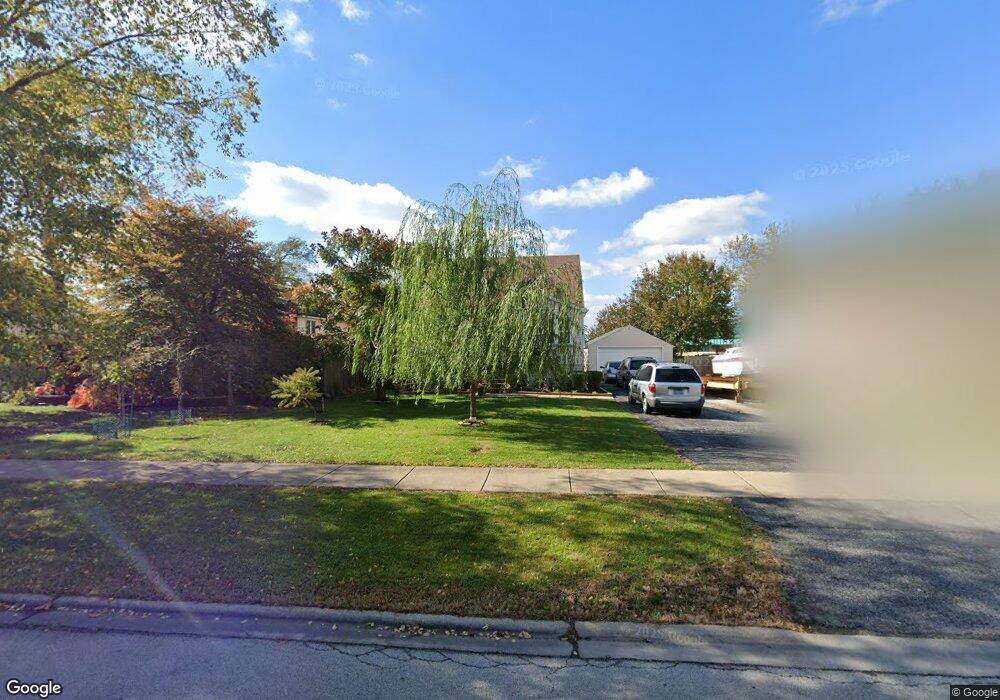
8342 Mayfield Ave Burbank, IL 60459
Estimated Value: $213,000 - $310,000
3
Beds
1
Bath
924
Sq Ft
$283/Sq Ft
Est. Value
About This Home
This home is located at 8342 Mayfield Ave, Burbank, IL 60459 and is currently estimated at $261,641, approximately $283 per square foot. 8342 Mayfield Ave is a home located in Cook County with nearby schools including Luther Burbank Elementary School, Reavis High School, and St Albert the Great Catholic School.
Ownership History
Date
Name
Owned For
Owner Type
Purchase Details
Closed on
May 18, 1999
Sold by
Countrywide Home Loans Inc
Bought by
Maka Marian and Maka Maria
Current Estimated Value
Home Financials for this Owner
Home Financials are based on the most recent Mortgage that was taken out on this home.
Original Mortgage
$89,600
Outstanding Balance
$21,536
Interest Rate
6.92%
Estimated Equity
$240,105
Purchase Details
Closed on
Jul 22, 1994
Sold by
Andrews Esther and Hoffman Joan J
Bought by
Woodward Jack R
Home Financials for this Owner
Home Financials are based on the most recent Mortgage that was taken out on this home.
Original Mortgage
$127,200
Interest Rate
8.38%
Create a Home Valuation Report for This Property
The Home Valuation Report is an in-depth analysis detailing your home's value as well as a comparison with similar homes in the area
Home Values in the Area
Average Home Value in this Area
Purchase History
| Date | Buyer | Sale Price | Title Company |
|---|---|---|---|
| Maka Marian | $112,000 | Intercounty Title | |
| Woodward Jack R | $134,000 | Ticor Title Insurance |
Source: Public Records
Mortgage History
| Date | Status | Borrower | Loan Amount |
|---|---|---|---|
| Open | Maka Marian | $89,600 | |
| Previous Owner | Woodward Jack R | $127,200 |
Source: Public Records
Tax History
| Year | Tax Paid | Tax Assessment Tax Assessment Total Assessment is a certain percentage of the fair market value that is determined by local assessors to be the total taxable value of land and additions on the property. | Land | Improvement |
|---|---|---|---|---|
| 2025 | $5,487 | $21,000 | $8,391 | $12,609 |
| 2024 | $5,487 | $21,000 | $8,391 | $12,609 |
| 2023 | $3,457 | $21,000 | $8,391 | $12,609 |
| 2022 | $3,457 | $15,806 | $7,384 | $8,422 |
| 2021 | $4,604 | $15,806 | $7,384 | $8,422 |
| 2020 | $4,522 | $15,806 | $7,384 | $8,422 |
| 2019 | $4,816 | $16,870 | $6,713 | $10,157 |
| 2018 | $4,676 | $16,870 | $6,713 | $10,157 |
| 2017 | $4,542 | $16,870 | $6,713 | $10,157 |
| 2016 | $4,175 | $14,348 | $5,706 | $8,642 |
| 2015 | $3,977 | $14,348 | $5,706 | $8,642 |
| 2014 | $3,876 | $14,348 | $5,706 | $8,642 |
| 2013 | $3,951 | $15,772 | $5,706 | $10,066 |
Source: Public Records
Map
Nearby Homes
- 8215 Austin Ave
- 8121 Mcvicker Ave
- 5640 W 84th St
- 5831 W 81st Place
- 5850 W 87th St Unit 2A
- 5610 W 85th St
- 6117 W 81st St
- 8033 Austin Ave
- 8617 Major Ave
- 6316 W 83rd Place
- 8743 Austin Ave
- 5735 W 80th St
- 5500 W 83rd Place
- 8254 Linder Ave
- 8704 Mobile Ave Unit 2C
- 8014 Mobile Ave
- 7948 Merrimac Ave
- 5831 W 89th St
- 5822 W 79th St
- 6437 W 82nd St
- 8340 Mayfield Ave
- 8402 Mayfield Ave
- 8404 Mayfield Ave
- 8303 State Rd
- 8406 Mayfield Ave
- 8322 Mayfield Ave
- 8343 Mayfield Ave
- 8355 Austin Ave
- 8335 Mayfield Ave
- 8351 Mayfield Ave
- 8327 Mayfield Ave
- 8401 Austin Ave
- 8410 Mayfield Ave
- 8359 Mayfield Ave
- 8359 Mayfield Ave Unit 1
- 8325 Mayfield Ave
- 8300 Mayfield Ave
- 8405 Austin Ave
- 8323 Mansfield Ave
- 8403 Mayfield Ave
Your Personal Tour Guide
Ask me questions while you tour the home.