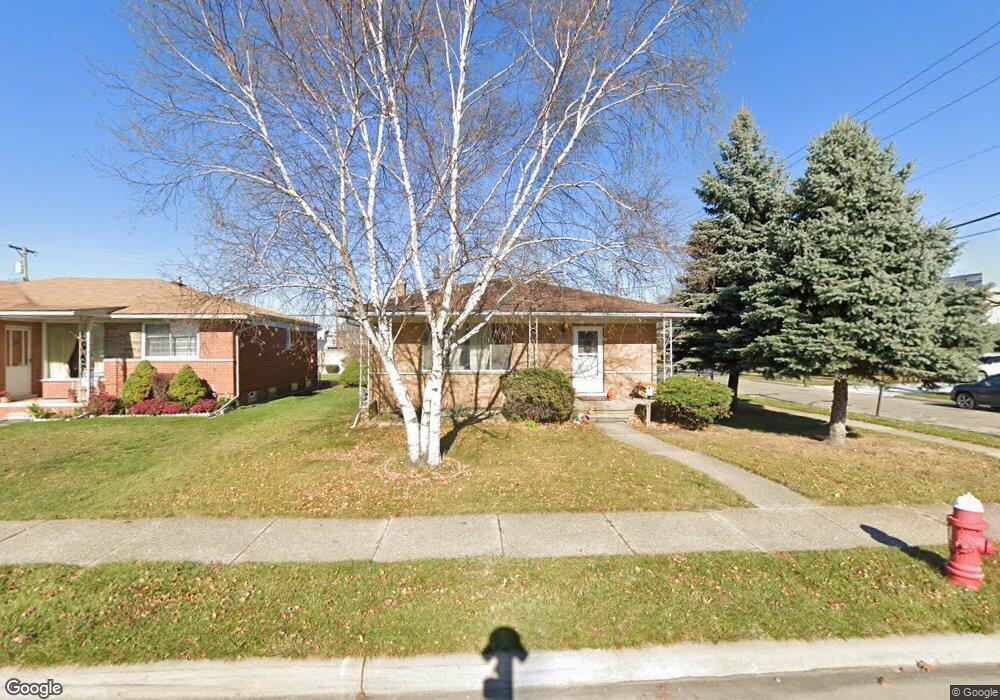
8343 Stanley Dr Warren, MI 48093
Northeast Warren NeighborhoodEstimated Value: $222,000 - $247,298
3
Beds
2
Baths
1,200
Sq Ft
$200/Sq Ft
Est. Value
About This Home
This home is located at 8343 Stanley Dr, Warren, MI 48093 and is currently estimated at $239,575, approximately $199 per square foot. 8343 Stanley Dr is a home located in Macomb County with nearby schools including Cromie Elementary School, Carter Middle School, and Paul K. Cousino High School.
Ownership History
Date
Name
Owned For
Owner Type
Purchase Details
Closed on
Apr 25, 2018
Sold by
Schuman Robert and Thompson Jessica
Bought by
Thompson Jessica
Current Estimated Value
Purchase Details
Closed on
Sep 25, 2009
Sold by
Tassinari Federico and Tassinari Lyla
Bought by
Schuman Robert and Thompson Jessica
Purchase Details
Closed on
Apr 20, 2004
Sold by
The Estate Of Zofia Piesnikowski
Bought by
Tassinari Federico and Tassinari Lyla
Purchase Details
Closed on
Sep 28, 2003
Sold by
Kitlinski Barbara D
Bought by
Piesnikowski Zofia
Create a Home Valuation Report for This Property
The Home Valuation Report is an in-depth analysis detailing your home's value as well as a comparison with similar homes in the area
Home Values in the Area
Average Home Value in this Area
Purchase History
| Date | Buyer | Sale Price | Title Company |
|---|---|---|---|
| Thompson Jessica | -- | None Available | |
| Schuman Robert | $69,000 | Title One Inc | |
| Tassinari Federico | $141,000 | First American Title | |
| Piesnikowski Zofia | -- | First American Title |
Source: Public Records
Tax History Compared to Growth
Tax History
| Year | Tax Paid | Tax Assessment Tax Assessment Total Assessment is a certain percentage of the fair market value that is determined by local assessors to be the total taxable value of land and additions on the property. | Land | Improvement |
|---|---|---|---|---|
| 2025 | $3,598 | $112,090 | $0 | $0 |
| 2024 | $3,496 | $104,020 | $0 | $0 |
| 2023 | $3,314 | $95,410 | $0 | $0 |
| 2022 | $3,202 | $82,130 | $0 | $0 |
| 2021 | $3,258 | $75,930 | $0 | $0 |
| 2020 | $3,142 | $70,660 | $0 | $0 |
| 2019 | $3,029 | $64,800 | $0 | $0 |
| 2018 | $2,653 | $64,130 | $0 | $0 |
| 2017 | $2,619 | $58,960 | $9,360 | $49,600 |
| 2016 | $2,617 | $58,960 | $0 | $0 |
| 2015 | -- | $53,520 | $0 | $0 |
| 2012 | -- | $47,200 | $0 | $0 |
Source: Public Records
Map
Nearby Homes
- 8250 Gerald Ave
- 8263 Linda St
- 8616 Community Blvd
- 29150 Geraldine Ct
- 29242 Lorraine Ct
- 8210 Linda St
- 28876 Palm Beach Dr
- 8669 Tucson Ct
- 8681 Tucson Ct
- 29444 Geraldine Dr
- 29792 City Center Dr
- 29171 Birchcrest Dr
- 29816 City Center Dr
- 11116 Racine Rd
- 8708 Metropolitan Ave
- 28031 Lorraine Ave
- 7254 Gerald Ave
- 29164 Aline Dr
- 8147 Busko St
- 8460 Busko Ave
- 8331 Stanley Dr
- 8319 Stanley Dr
- 28850 Arsenal Ave
- 28838 Arsenal Ave
- 8295 Stanley Dr
- 8326 E 12 Mile Rd
- 28826 Arsenal Ave
- 8342 Stanley Dr
- 8318 Stanley Dr
- 8306 12 Mile Rd
- 8306 Twelve Mile Rd
- 28814 Arsenal Ave
- 8282 E 12 Mile Rd
- 8424 E 12 Mile Rd Unit B2
- 8424 E 12 Mile Rd Unit 110
- 8424 E 12 Mile Rd Unit B5
- 8424 E 12 Mile Rd Unit 100
- 8424 E 12 Mile Rd Unit B5
- 8424 E 12 Mile Rd
- 8302 E 12 Mile Rd