8347 Langmaid Rd Newark, MD 21841
Estimated Value: $356,000 - $533,000
3
Beds
3
Baths
1,700
Sq Ft
$269/Sq Ft
Est. Value
About This Home
This home is located at 8347 Langmaid Rd, Newark, MD 21841 and is currently estimated at $458,141, approximately $269 per square foot. 8347 Langmaid Rd is a home located in Worcester County with nearby schools including Snow Hill Elementary School, Snow Hill Middle School, and Snow Hill High School.
Ownership History
Date
Name
Owned For
Owner Type
Purchase Details
Closed on
Mar 1, 2012
Sold by
Uhl Marlene E
Bought by
Townsend Nicole and Billetdeaux Darcy
Current Estimated Value
Home Financials for this Owner
Home Financials are based on the most recent Mortgage that was taken out on this home.
Original Mortgage
$172,959
Outstanding Balance
$118,754
Interest Rate
3.86%
Mortgage Type
New Conventional
Estimated Equity
$339,387
Purchase Details
Closed on
Nov 27, 2001
Sold by
T & G Inc
Bought by
Uhl Robert H and Uhl Marlene E
Purchase Details
Closed on
Dec 21, 1994
Sold by
Age Associates Inc
Bought by
T & G Inc
Create a Home Valuation Report for This Property
The Home Valuation Report is an in-depth analysis detailing your home's value as well as a comparison with similar homes in the area
Home Values in the Area
Average Home Value in this Area
Purchase History
| Date | Buyer | Sale Price | Title Company |
|---|---|---|---|
| Townsend Nicole | $169,500 | First American Title | |
| Uhl Robert H | $35,000 | -- | |
| T & G Inc | $4,000 | -- |
Source: Public Records
Mortgage History
| Date | Status | Borrower | Loan Amount |
|---|---|---|---|
| Open | Townsend Nicole | $172,959 | |
| Closed | Uhl Robert H | -- |
Source: Public Records
Tax History
| Year | Tax Paid | Tax Assessment Tax Assessment Total Assessment is a certain percentage of the fair market value that is determined by local assessors to be the total taxable value of land and additions on the property. | Land | Improvement |
|---|---|---|---|---|
| 2025 | $3,859 | $440,000 | $56,800 | $383,200 |
| 2024 | $3,960 | $415,633 | $0 | $0 |
| 2023 | $3,728 | $391,267 | $0 | $0 |
| 2022 | $3,496 | $366,900 | $56,800 | $310,100 |
| 2021 | $3,420 | $357,333 | $0 | $0 |
| 2020 | $3,328 | $347,767 | $0 | $0 |
| 2019 | $3,237 | $338,200 | $56,800 | $281,400 |
| 2018 | $1,987 | $210,300 | $56,800 | $153,500 |
| 2017 | $1,992 | $210,300 | $0 | $0 |
| 2016 | $2,016 | $212,900 | $0 | $0 |
| 2015 | $719 | $212,133 | $0 | $0 |
| 2014 | $719 | $211,367 | $0 | $0 |
Source: Public Records
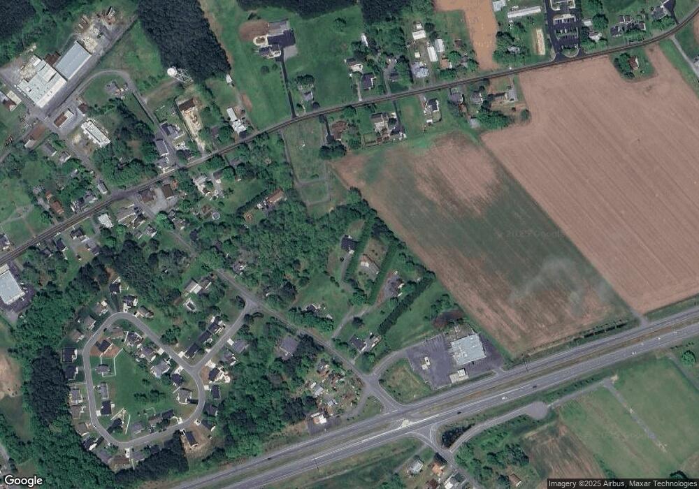
Map
Nearby Homes
- 0 Newark Rd Unit 5
- 0 Newark Rd Unit 3
- 0 Newark Rd Unit 4
- 0 Newark Rd Unit MDWO2032424
- 0 Newark Rd Unit MDWO2014316
- 7109 Daffodil Ln Rd
- 0 Worcester Hwy Unit MDWO2031236
- 7603 Buckeye Rd
- 6629 Bowden Rd
- 0 Libertytown Rd Unit MDWO2036558
- 0 Newport Bay Dr Unit MDWO102088
- 11334 Newport Bay Dr
- 6513 Hampton Rd
- 10761 Windmill Creek Ln
- 10781 Windmill Creek Ln
- 6301 Knoll Hill Dr
- 6226 Knoll Hill Dr
- 6342 Knoll Hill Dr
- 6438 Knoll Hill Dr
- Lot 3B Powellville Whiton Rd
- 8341 Langmaid Rd
- 8351 Langmaid Rd
- 8349 Langmaid Rd
- 8438 Newark Rd
- 8335 Langmaid Rd
- 8355 Langmaid Rd
- 8321 Langmaid Rd
- 8340 Langmaid Rd Unit D
- 8340 Langmaid Rd Unit B
- 8340 Langmaid Rd Unit C
- 8340 Langmaid Rd Unit A
- 8325 Langmaid Rd
- 8361 Langmaid Rd
- 8354 Langmaid Rd
- 8323 Langmaid Rd
- 8450 Newark Rd
- 8358 Langmaid Rd
- 8432 Newark Rd
- 8500 Newark Rd
- 8426 Newark Rd
Your Personal Tour Guide
Ask me questions while you tour the home.