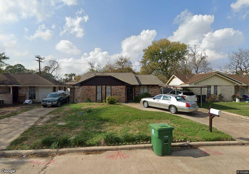
8347 Ponnel Ln Houston, TX 77088
Acres Homes NeighborhoodEstimated Value: $153,612 - $174,000
3
Beds
2
Baths
1,062
Sq Ft
$156/Sq Ft
Est. Value
About This Home
This home is located at 8347 Ponnel Ln, Houston, TX 77088 and is currently estimated at $165,153, approximately $155 per square foot. 8347 Ponnel Ln is a home located in Harris County with nearby schools including Osborne Elementary School, Williams Middle, and Booker T Washington Sr High.
Ownership History
Date
Name
Owned For
Owner Type
Purchase Details
Closed on
Dec 20, 2012
Sold by
Clark Willie and Clark Laverne J
Bought by
Clark Willie and Clark Laverne J
Current Estimated Value
Home Financials for this Owner
Home Financials are based on the most recent Mortgage that was taken out on this home.
Original Mortgage
$94,500
Outstanding Balance
$65,473
Interest Rate
3.37%
Mortgage Type
Reverse Mortgage Home Equity Conversion Mortgage
Estimated Equity
$99,680
Purchase Details
Closed on
Oct 10, 2000
Sold by
M G I Inc
Bought by
Clark Willie and Clark La Verne J
Create a Home Valuation Report for This Property
The Home Valuation Report is an in-depth analysis detailing your home's value as well as a comparison with similar homes in the area
Home Values in the Area
Average Home Value in this Area
Purchase History
| Date | Buyer | Sale Price | Title Company |
|---|---|---|---|
| Clark Willie | -- | None Available | |
| Clark Willie | -- | -- |
Source: Public Records
Mortgage History
| Date | Status | Borrower | Loan Amount |
|---|---|---|---|
| Open | Clark Willie | $94,500 | |
| Closed | Clark Willie | $0 |
Source: Public Records
Tax History Compared to Growth
Tax History
| Year | Tax Paid | Tax Assessment Tax Assessment Total Assessment is a certain percentage of the fair market value that is determined by local assessors to be the total taxable value of land and additions on the property. | Land | Improvement |
|---|---|---|---|---|
| 2025 | $2,000 | $153,866 | $58,311 | $95,555 |
| 2024 | $2,000 | $143,750 | $58,311 | $85,439 |
| 2023 | $2,000 | $118,566 | $58,311 | $60,255 |
| 2022 | $1,987 | $115,330 | $45,059 | $70,271 |
| 2021 | $1,912 | $95,455 | $26,505 | $68,950 |
| 2020 | $1,806 | $86,362 | $23,855 | $62,507 |
| 2019 | $1,716 | $80,904 | $23,855 | $57,049 |
| 2018 | $0 | $61,651 | $11,927 | $49,724 |
| 2017 | $1,436 | $61,651 | $11,927 | $49,724 |
| 2016 | $1,305 | $61,651 | $11,927 | $49,724 |
| 2015 | -- | $58,415 | $11,927 | $46,488 |
| 2014 | -- | $42,669 | $11,927 | $30,742 |
Source: Public Records
Map
Nearby Homes
- 1314 Tarberry Rd
- 0 Marcolin St
- 0 Grenshaw
- 8602 De Priest St
- 958 Conklin St
- 905 Ferguson Way
- 907 Ferguson Way
- 954 W Bertrand St
- 8718 Glen Shadow Dr
- 8314 De Priest St
- 854 Junell St
- 0 Marjorie
- 769 Marjorie St
- 8324 Williamsdell St
- 8322 Williamsdell St
- 8320 Williamsdell St
- 934 South Ln
- 936 - A&B South Ln
- 8310 Williamsdell St
- 1028 Marcolin St
- 8343 Ponnel Ln
- 8351 Ponnel Ln
- 8339 Ponnel Ln
- 8906 De Priest St
- 8355 Ponnel Ln
- 8910 De Priest St Unit B
- 8902 De Priest St
- 8335 Ponnel Ln
- 835 Dewalt St
- 8822 De Priest St
- 8331 Ponnel Ln
- 850 Ellington St
- 831 Dewalt St
- 8327 Ponnel Ln
- 8814 De Priest St
- 8403 Ponnel Ln
- 846 Ellington St
- 855 Ellington St
- 9002 De Priest St
- 8923 De Priest St