Estimated Value: $305,769 - $364,000
--
Bed
--
Bath
--
Sq Ft
10,454
Sq Ft Lot
About This Home
This home is located at 835 Carissa Ct, Omro, WI 54963 and is currently estimated at $336,590. 835 Carissa Ct is a home located in Winnebago County with nearby schools including Patch Elementary School, Omro Elementary School, and Omro Middle School.
Ownership History
Date
Name
Owned For
Owner Type
Purchase Details
Closed on
May 27, 2005
Sold by
Rades William P and Rades Sandra J
Bought by
Hertzberg Caroline E
Current Estimated Value
Home Financials for this Owner
Home Financials are based on the most recent Mortgage that was taken out on this home.
Original Mortgage
$90,000
Outstanding Balance
$47,438
Interest Rate
5.91%
Mortgage Type
New Conventional
Estimated Equity
$289,152
Create a Home Valuation Report for This Property
The Home Valuation Report is an in-depth analysis detailing your home's value as well as a comparison with similar homes in the area
Home Values in the Area
Average Home Value in this Area
Purchase History
| Date | Buyer | Sale Price | Title Company |
|---|---|---|---|
| Hertzberg Caroline E | $165,000 | None Available |
Source: Public Records
Mortgage History
| Date | Status | Borrower | Loan Amount |
|---|---|---|---|
| Open | Hertzberg Caroline E | $90,000 |
Source: Public Records
Tax History Compared to Growth
Tax History
| Year | Tax Paid | Tax Assessment Tax Assessment Total Assessment is a certain percentage of the fair market value that is determined by local assessors to be the total taxable value of land and additions on the property. | Land | Improvement |
|---|---|---|---|---|
| 2024 | $4,638 | $177,500 | $24,200 | $153,300 |
| 2023 | $4,194 | $177,500 | $24,200 | $153,300 |
| 2022 | $4,142 | $177,500 | $24,200 | $153,300 |
| 2021 | $3,905 | $177,500 | $24,200 | $153,300 |
| 2020 | $3,917 | $177,500 | $24,200 | $153,300 |
| 2019 | $3,769 | $177,500 | $24,200 | $153,300 |
| 2018 | $3,775 | $177,500 | $24,200 | $153,300 |
| 2017 | $3,791 | $158,400 | $22,000 | $136,400 |
| 2016 | $3,705 | $158,400 | $22,000 | $136,400 |
| 2015 | $3,862 | $158,400 | $22,000 | $136,400 |
| 2014 | -- | $158,400 | $22,000 | $136,400 |
| 2013 | -- | $158,400 | $22,000 | $136,400 |
Source: Public Records
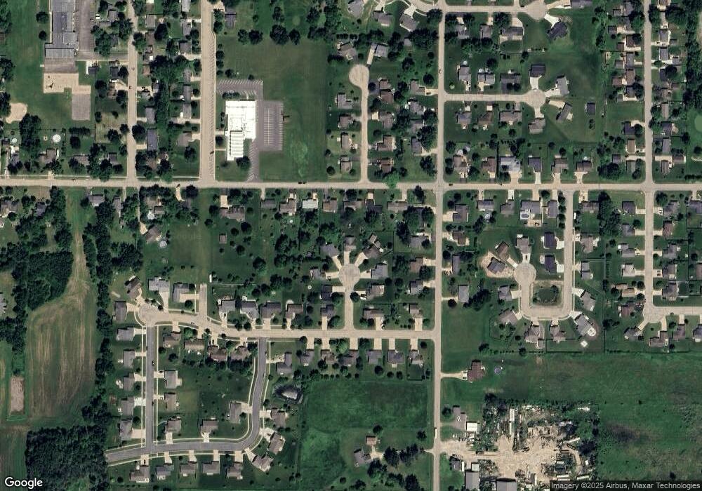
Map
Nearby Homes
- 610 Tyler Ave
- 630 Madison Ave
- 131 Madison Ave
- 330 Jefferson Ave
- 1860 Justin Dr
- 220 Brooke Dr Unit 1
- 343 Dakota Lee Way
- 1110 E Main St
- 708 Pine St
- 831 Annrich Ave
- 1741 Jaimee Dr
- 366 Brooke Dr
- 364 Brooke Dr
- 367 Brooke Dr
- 314 Brooke Dr
- 320 Brooke Dr
- 1365-BA Plan at Springview Acres
- 1343-CE Plan at Springview Acres
- 1328-CH Plan at Springview Acres
- 0 Springbrook Rd Unit 1990202