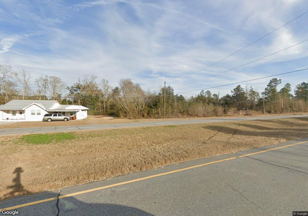
835 Colquitt Hwy Bainbridge, GA 39817
Estimated Value: $119,351 - $305,000
--
Bed
--
Bath
560
Sq Ft
$335/Sq Ft
Est. Value
About This Home
This home is located at 835 Colquitt Hwy, Bainbridge, GA 39817 and is currently estimated at $187,588, approximately $334 per square foot. 835 Colquitt Hwy is a home located in Decatur County with nearby schools including Bainbridge High School.
Ownership History
Date
Name
Owned For
Owner Type
Purchase Details
Closed on
Jun 3, 2024
Sold by
Stott & Floyd Llc
Bought by
Dollar Jarod Lee and Dollar Sarah Brooke
Current Estimated Value
Purchase Details
Closed on
Mar 21, 2014
Sold by
Stott Robert
Bought by
Stott & Floyd Llc
Home Financials for this Owner
Home Financials are based on the most recent Mortgage that was taken out on this home.
Original Mortgage
$25,096
Interest Rate
4.36%
Mortgage Type
New Conventional
Purchase Details
Closed on
Mar 26, 2013
Sold by
Musgrove Lisa Floyd
Bought by
Stott Robert and Stott Ivey
Home Financials for this Owner
Home Financials are based on the most recent Mortgage that was taken out on this home.
Original Mortgage
$25,000
Interest Rate
3.52%
Mortgage Type
New Conventional
Purchase Details
Closed on
Jul 20, 2011
Sold by
Floyd Michael Thomas
Bought by
Musgrove Lisa Floyd
Purchase Details
Closed on
Sep 8, 2010
Sold by
Floyd John William
Bought by
Shorty & Betty Floyd Family Trusts
Create a Home Valuation Report for This Property
The Home Valuation Report is an in-depth analysis detailing your home's value as well as a comparison with similar homes in the area
Home Values in the Area
Average Home Value in this Area
Purchase History
| Date | Buyer | Sale Price | Title Company |
|---|---|---|---|
| Dollar Jarod Lee | $90,000 | -- | |
| Stott & Floyd Llc | -- | -- | |
| Stott & Floyd Llc | $25,096 | -- | |
| Stott Robert | -- | -- | |
| Musgrove Lisa Floyd | $31,100 | -- | |
| Shorty & Betty Floyd Family Trusts | $24,500 | -- |
Source: Public Records
Mortgage History
| Date | Status | Borrower | Loan Amount |
|---|---|---|---|
| Previous Owner | Stott & Floyd Llc | $25,096 | |
| Previous Owner | Stott Robert | $25,000 |
Source: Public Records
Tax History Compared to Growth
Tax History
| Year | Tax Paid | Tax Assessment Tax Assessment Total Assessment is a certain percentage of the fair market value that is determined by local assessors to be the total taxable value of land and additions on the property. | Land | Improvement |
|---|---|---|---|---|
| 2024 | $923 | $30,644 | $13,555 | $17,089 |
| 2023 | $892 | $30,644 | $13,555 | $17,089 |
| 2022 | $712 | $24,484 | $9,360 | $15,124 |
| 2021 | $609 | $20,544 | $8,544 | $12,000 |
| 2020 | $593 | $18,986 | $8,544 | $10,442 |
| 2019 | $565 | $17,418 | $8,544 | $8,874 |
| 2018 | $558 | $17,418 | $8,544 | $8,874 |
| 2017 | $547 | $17,418 | $8,544 | $8,874 |
Source: Public Records
Map
Nearby Homes
- 850 Zorn Rd
- 1603 Plantation Rd
- 1302 Talmadge St
- 000 Conger Dr
- 00 Dothan Rd
- Lot Griffin St
- 604 Martin St
- 467 745 Lot St N
- LOT 9 BL Mountainview Way
- Lots Lott 19 & 20
- 0 Pine St Unit 10993
- 125 John Sam Rd
- 2400 Airport Rd Unit 6
- 2400 Airport Rd
- 104 Brock St
- 719 W Shotwell St
- 836 Cooper St
- 302 E Water St
- 415 Charles St
- 160 Manhole Rd
- 851 Colquitt Hwy
- 823 Colquitt Hwy
- 836 Colquitt Hwy
- 858 Colquitt Hwy
- 817 Colquitt Hwy
- 826 Colquitt Hwy
- 266 Colquitt Hwy
- 820 Colquitt Hwy Unit 1
- 2094 Bethel Rd
- 1026 Zorn Rd
- 115 Lashley Rd
- 1032 Zorn Rd
- 710 Colquitt Hwy
- 122 Powell Rd
- 1040 Zorn Rd
- 709 Colquitt Hwy
- 134 Powell Rd
- 2087 Bethel Rd
- 114 Powell Rd
- 2111 Bethel Ln