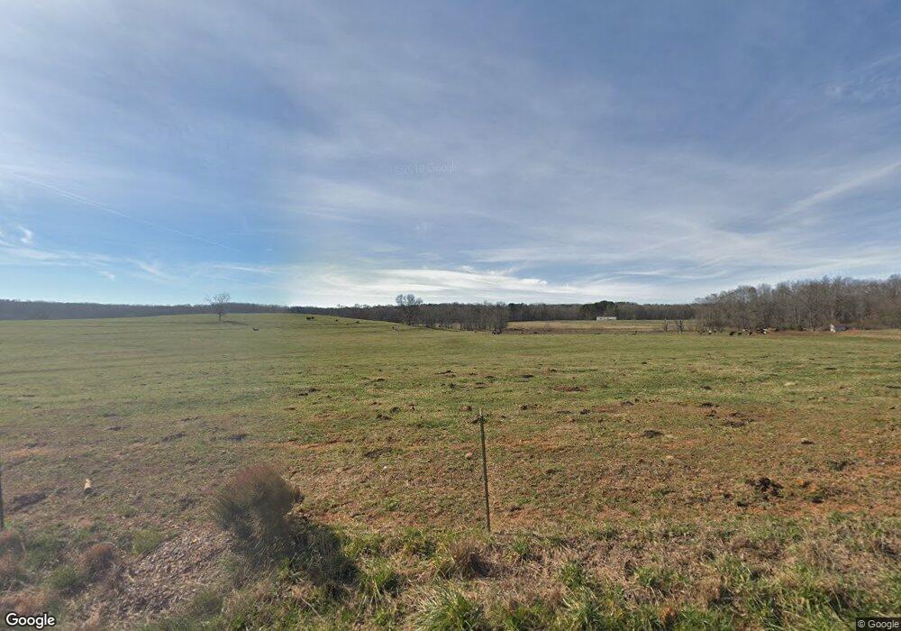
835 Frank Bird Rd Commerce, GA 30530
Estimated Value: $275,000 - $1,909,702
--
Bed
2
Baths
1,424
Sq Ft
$767/Sq Ft
Est. Value
About This Home
This home is located at 835 Frank Bird Rd, Commerce, GA 30530 and is currently estimated at $1,092,351, approximately $767 per square foot. 835 Frank Bird Rd is a home located in Madison County with nearby schools including Madison County High School and Union Christian Academy.
Ownership History
Date
Name
Owned For
Owner Type
Purchase Details
Closed on
Oct 8, 2021
Sold by
Deason Dorothy D
Bought by
Huie Miller Charlotte D
Current Estimated Value
Purchase Details
Closed on
Jan 3, 2020
Sold by
Deason Dorothy D
Bought by
Huie and Miller Charlotte D
Purchase Details
Closed on
Nov 20, 2013
Sold by
Deason Hollis L
Bought by
Deason Dorothy D
Purchase Details
Closed on
Jan 1, 1964
Bought by
Deason Hollis L and Deason Do
Create a Home Valuation Report for This Property
The Home Valuation Report is an in-depth analysis detailing your home's value as well as a comparison with similar homes in the area
Home Values in the Area
Average Home Value in this Area
Purchase History
| Date | Buyer | Sale Price | Title Company |
|---|---|---|---|
| Huie Miller Charlotte D | -- | -- | |
| Huie | -- | -- | |
| Deason Dorothy D | -- | -- | |
| Deason Hollis L | -- | -- |
Source: Public Records
Tax History Compared to Growth
Tax History
| Year | Tax Paid | Tax Assessment Tax Assessment Total Assessment is a certain percentage of the fair market value that is determined by local assessors to be the total taxable value of land and additions on the property. | Land | Improvement |
|---|---|---|---|---|
| 2024 | $3,207 | $546,512 | $486,619 | $59,893 |
| 2023 | $2,585 | $542,817 | $486,619 | $56,198 |
| 2022 | $2,961 | $395,626 | $345,678 | $49,948 |
| 2021 | $3,100 | $294,425 | $255,313 | $39,112 |
| 2020 | $3,054 | $271,843 | $232,731 | $39,112 |
| 2019 | $2,785 | $268,204 | $236,670 | $31,534 |
| 2018 | $2,707 | $267,520 | $236,670 | $30,850 |
| 2017 | $7,618 | $264,570 | $234,457 | $30,113 |
| 2016 | $2,257 | $260,238 | $234,457 | $25,781 |
| 2015 | $2,205 | $260,238 | $234,457 | $25,781 |
| 2014 | $2,097 | $257,786 | $234,457 | $23,329 |
| 2013 | -- | $262,386 | $239,057 | $23,329 |
Source: Public Records
Map
Nearby Homes
- 5492 Georgia 98
- 235 Minish Lake Rd
- 125 Rock St
- 886 Hudson Rivers Church Rd
- 287 Pine St
- 0 Jot Em Down Rd Unit 10572092
- 0 Jot Em Down Rd Unit 7633000
- 0 Jot Em Down Rd Unit 10572079
- 213 Duncan Swindle Rd Unit TRACT 1
- 0 Jot Em Down Tract 3 Rd
- 1191 Aderhold Rogers Rd
- 15 Pine St
- 197 Joan Smith Rd
- 404 Haggard Dr
- 4274 Highway 98 W
- 743 Blacks Creek Church Rd
- 0-TRACT 3 Drake Woods Rd
- 0 Nowhere Rd Unit 10532129
- 9 W L Williams Rd
- 397 W L Williams Rd
- 0 Patton Ln Unit 8526316
- 0 Patton Ln Unit 8328783
- 6773 Highway 98 W
- 619 Frank Bird Rd
- 6949 Highway 98 W
- 6945 Highway 98 W
- 2730 Aderhold Rogers Rd Unit ROGERS
- 2730 Aderhold Rogers Rd
- 103 Patton Ln
- Tract 5 Frank Bird Rd
- 6928 Highway 98 W
- 405 Frank Bird Rd
- 255 Joe Cooper Rd
- 107 Patton Ln
- 107 Patton Ln
- 0 Joe Cooper Rd Unit 2 8294892
- 0 Joe Cooper Rd Unit 10.46
- 0 Joe Cooper Rd Unit 941068
- 0 Joe Cooper Rd Unit 10.46 7354975
- 0 Joe Cooper Rd Unit 3276881