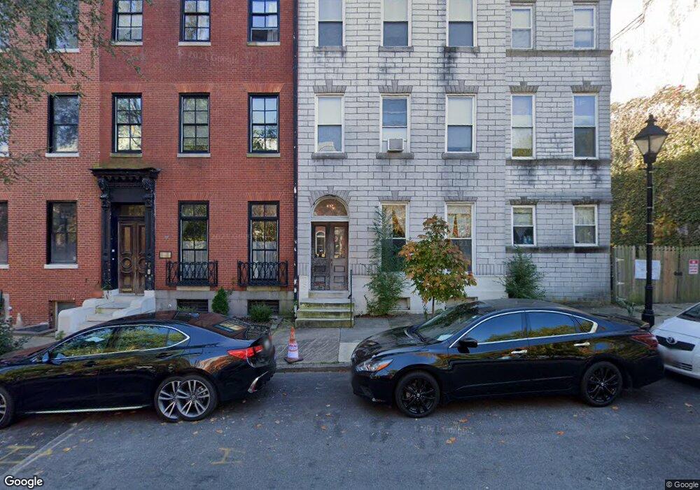
835 Hollins St Baltimore, MD 21201
Hollins Market NeighborhoodEstimated Value: $318,000 - $554,822
7
Beds
8
Baths
4,464
Sq Ft
$98/Sq Ft
Est. Value
About This Home
This home is located at 835 Hollins St, Baltimore, MD 21201 and is currently estimated at $436,411, approximately $97 per square foot. 835 Hollins St is a home located in Baltimore City with nearby schools including James McHenry Elementary School, Booker T. Washington Middle School, and Digital Harbor High School.
Ownership History
Date
Name
Owned For
Owner Type
Purchase Details
Closed on
Sep 8, 2005
Sold by
Agbu Patrick
Bought by
Bridges Jason and Wessel Allysin
Current Estimated Value
Purchase Details
Closed on
Sep 14, 2004
Sold by
Agbu Patrick
Bought by
Bridges Jason and Wessel Allysin
Purchase Details
Closed on
May 26, 2000
Sold by
Graybeal Melvin F
Bought by
Agbu Patrick and Agbu Rita
Purchase Details
Closed on
Jul 21, 1998
Sold by
Macatee Samuel A
Bought by
Graybeal Melvin F
Create a Home Valuation Report for This Property
The Home Valuation Report is an in-depth analysis detailing your home's value as well as a comparison with similar homes in the area
Home Values in the Area
Average Home Value in this Area
Purchase History
| Date | Buyer | Sale Price | Title Company |
|---|---|---|---|
| Bridges Jason | $328,000 | -- | |
| Bridges Jason | $328,000 | -- | |
| Agbu Patrick | $120,000 | -- | |
| Graybeal Melvin F | $80,000 | -- |
Source: Public Records
Tax History
| Year | Tax Paid | Tax Assessment Tax Assessment Total Assessment is a certain percentage of the fair market value that is determined by local assessors to be the total taxable value of land and additions on the property. | Land | Improvement |
|---|---|---|---|---|
| 2025 | $5,607 | $254,267 | -- | -- |
| 2024 | $5,607 | $238,733 | -- | -- |
| 2023 | $5,268 | $223,200 | $60,000 | $163,200 |
| 2022 | $5,170 | $219,067 | $0 | $0 |
| 2021 | $5,072 | $214,933 | $0 | $0 |
| 2020 | $4,975 | $210,800 | $60,000 | $150,800 |
| 2019 | $4,892 | $208,300 | $0 | $0 |
| 2018 | $4,857 | $205,800 | $0 | $0 |
| 2017 | $4,798 | $203,300 | $0 | $0 |
| 2016 | $6,457 | $203,300 | $0 | $0 |
| 2015 | $6,457 | $259,000 | $0 | $0 |
| 2014 | $6,457 | $269,500 | $0 | $0 |
Source: Public Records
Map
Nearby Homes
- 835 1/2 W Lombard St
- 877 W Lombard St
- 864 Lemmon St
- 851 Lemmon St
- 121 Parkin St
- 853 W Fayette St
- 1002 W Lombard St
- 1012 W Lombard St
- 302 Scott St
- 130 S Schroeder St
- 739 Mchenry St
- 1018 Booth St
- 229 S Fremont Ave
- 876 Ryan St
- 877 Ryan St
- 337 Scott St
- 41 S Arlington Ave
- 1048 W Barre St
- 1019 W Fayette St
- 209 Penn St
Your Personal Tour Guide
Ask me questions while you tour the home.