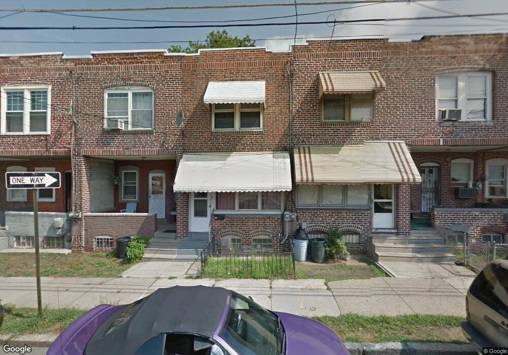
835 Jackson St Camden, NJ 08104
Liberty Park NeighborhoodEstimated Value: $63,671 - $121,000
--
Bed
--
Bath
962
Sq Ft
$104/Sq Ft
Est. Value
About This Home
This home is located at 835 Jackson St, Camden, NJ 08104 and is currently estimated at $100,418, approximately $104 per square foot. 835 Jackson St is a home located in Camden County with nearby schools including KIPP Sumner Elementary School, Camden High School, and Freedom Prep Charter School.
Ownership History
Date
Name
Owned For
Owner Type
Purchase Details
Closed on
Apr 8, 2019
Sold by
Pcireo 1 Llc
Bought by
Mosby Philip
Current Estimated Value
Purchase Details
Closed on
May 12, 1998
Sold by
Property Asset Services Inc
Bought by
Mosby Philip
Home Financials for this Owner
Home Financials are based on the most recent Mortgage that was taken out on this home.
Original Mortgage
$28,000
Interest Rate
7.03%
Purchase Details
Closed on
Feb 24, 1998
Sold by
Chase Manhattan Bank
Bought by
Property Asset Services Inc
Create a Home Valuation Report for This Property
The Home Valuation Report is an in-depth analysis detailing your home's value as well as a comparison with similar homes in the area
Home Values in the Area
Average Home Value in this Area
Purchase History
| Date | Buyer | Sale Price | Title Company |
|---|---|---|---|
| Mosby Philip | -- | None Available | |
| Mosby Philip | $26,000 | -- | |
| Property Asset Services Inc | $12,000 | -- |
Source: Public Records
Mortgage History
| Date | Status | Borrower | Loan Amount |
|---|---|---|---|
| Previous Owner | Mosby Philip | $28,000 |
Source: Public Records
Tax History Compared to Growth
Tax History
| Year | Tax Paid | Tax Assessment Tax Assessment Total Assessment is a certain percentage of the fair market value that is determined by local assessors to be the total taxable value of land and additions on the property. | Land | Improvement |
|---|---|---|---|---|
| 2025 | $726 | $20,500 | $5,800 | $14,700 |
| 2024 | $702 | $20,500 | $5,800 | $14,700 |
| 2023 | $702 | $20,500 | $5,800 | $14,700 |
| 2022 | $689 | $20,500 | $5,800 | $14,700 |
| 2021 | $687 | $20,500 | $5,800 | $14,700 |
| 2020 | $652 | $20,500 | $5,800 | $14,700 |
| 2019 | $624 | $20,500 | $5,800 | $14,700 |
| 2018 | $621 | $20,500 | $5,800 | $14,700 |
| 2017 | $606 | $20,500 | $5,800 | $14,700 |
| 2016 | $587 | $20,500 | $5,800 | $14,700 |
| 2015 | $565 | $20,500 | $5,800 | $14,700 |
| 2014 | $551 | $20,500 | $5,800 | $14,700 |
Source: Public Records
Map
Nearby Homes
- 940 Morton St
- 1522 S 10th St
- 2033 -2043 S 10th St
- 1097 Morton St
- 1139 Lowell St
- 1574 Mount Ephraim Ave
- 910 Mechanic St
- 1476 Mount Ephraim Ave Unit 3
- 936 Mechanic St
- 1165 Morton St
- 1183 Chase St
- 621 Ferry Ave
- 1880 S 10th St
- 1575 Louis St
- 1613 Louis St
- 1931 S 6th St
- 1216 Morton St
- 1165 Lansdowne Ave
- 1218 Morton St
- 1167 Lansdowne Ave