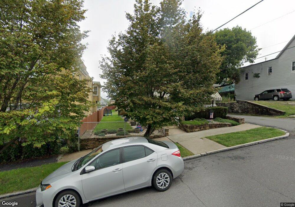
835 River St Scranton, PA 18505
South Side NeighborhoodEstimated Value: $161,903 - $258,000
3
Beds
2
Baths
1,925
Sq Ft
$116/Sq Ft
Est. Value
About This Home
This home is located at 835 River St, Scranton, PA 18505 and is currently estimated at $222,476, approximately $115 per square foot. 835 River St is a home located in Lackawanna County with nearby schools including John G. Whittier Elementary School, South Scranton Intermediate, and Scranton High School.
Ownership History
Date
Name
Owned For
Owner Type
Purchase Details
Closed on
Jul 25, 2011
Sold by
Kelly Stephen P and Kelly Jill M
Bought by
Loftus Matthew J and Telesco Jennifer L
Current Estimated Value
Home Financials for this Owner
Home Financials are based on the most recent Mortgage that was taken out on this home.
Original Mortgage
$154,969
Outstanding Balance
$106,564
Interest Rate
4.5%
Mortgage Type
FHA
Estimated Equity
$115,912
Create a Home Valuation Report for This Property
The Home Valuation Report is an in-depth analysis detailing your home's value as well as a comparison with similar homes in the area
Home Values in the Area
Average Home Value in this Area
Purchase History
| Date | Buyer | Sale Price | Title Company |
|---|---|---|---|
| Loftus Matthew J | $159,000 | None Available |
Source: Public Records
Mortgage History
| Date | Status | Borrower | Loan Amount |
|---|---|---|---|
| Open | Loftus Matthew J | $154,969 |
Source: Public Records
Tax History
| Year | Tax Paid | Tax Assessment Tax Assessment Total Assessment is a certain percentage of the fair market value that is determined by local assessors to be the total taxable value of land and additions on the property. | Land | Improvement |
|---|---|---|---|---|
| 2025 | $4,169 | $13,000 | $2,000 | $11,000 |
| 2024 | $3,809 | $13,000 | $2,000 | $11,000 |
| 2023 | $3,809 | $13,000 | $2,000 | $11,000 |
| 2022 | $3,725 | $13,000 | $2,000 | $11,000 |
| 2021 | $3,725 | $13,000 | $2,000 | $11,000 |
| 2020 | $3,655 | $13,000 | $2,000 | $11,000 |
| 2019 | $3,438 | $13,000 | $2,000 | $11,000 |
| 2018 | $3,438 | $13,000 | $2,000 | $11,000 |
| 2017 | $3,377 | $13,000 | $2,000 | $11,000 |
| 2016 | $1,021 | $13,000 | $2,000 | $11,000 |
| 2015 | $2,203 | $13,000 | $2,000 | $11,000 |
| 2014 | -- | $13,000 | $2,000 | $11,000 |
Source: Public Records
Map
Nearby Homes
- 910 Orchard St
- 417 S Irving Ave
- 217 Crown Ave
- 102 S Irving Ave
- 623 Crown Ave
- 636 Orchard St
- 321 Prospect Ave
- 409 Prospect Ave
- 719 S Webster Ave
- 119 Prospect Ave Unit L5
- 522 524 River St
- 201 Pittston Ave
- 616 Birch St
- 518 Kirst Ct
- 439 Alder St
- 723 Moltke Ave
- 710 Pittston Ave
- 342 Harrison Ave
- 1019 S Webster Ave
- 717 E Elm St Unit REAR
Your Personal Tour Guide
Ask me questions while you tour the home.