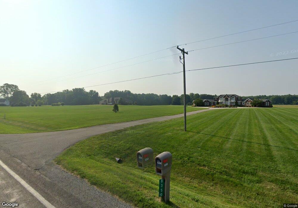
8350 E Curtis Rd Frankenmuth, MI 48734
Estimated Value: $180,000
Studio
--
Bath
--
Sq Ft
1,164,794
Sq Ft
About This Home
This home is located at 8350 E Curtis Rd, Frankenmuth, MI 48734 and is currently priced at $180,000. 8350 E Curtis Rd is a home with nearby schools including List Elementary, E.F. Rittmueller Middle School, and Frankenmuth High School.
Ownership History
Date
Name
Owned For
Owner Type
Purchase Details
Closed on
Jun 10, 2009
Sold by
Bridgeport Holdings Llc
Bought by
Martin Edward L and Martin Linda A
Current Estimated Value
Purchase Details
Closed on
Nov 21, 2008
Sold by
Berger, David A & Dorena J Trust
Bought by
Bridgeport Holdings Llc
Purchase Details
Closed on
Mar 9, 2007
Sold by
Berger David A and Berger Dorena J
Bought by
Bridgeport Holdings Llc
Create a Home Valuation Report for This Property
The Home Valuation Report is an in-depth analysis detailing your home's value as well as a comparison with similar homes in the area
Purchase History
| Date | Buyer | Sale Price | Title Company |
|---|---|---|---|
| Martin Edward L | -- | -- | |
| Bridgeport Holdings Llc | $125,000 | -- | |
| Bridgeport Holdings Llc | $125,000 | -- |
Source: Public Records
Tax History
| Year | Tax Paid | Tax Assessment Tax Assessment Total Assessment is a certain percentage of the fair market value that is determined by local assessors to be the total taxable value of land and additions on the property. | Land | Improvement |
|---|---|---|---|---|
| 2025 | $542 | $63,600 | $0 | $0 |
| 2024 | $526 | $63,600 | $0 | $0 |
| 2023 | $501 | $67,800 | $0 | $0 |
| 2022 | $1,448 | $55,900 | $0 | $0 |
| 2021 | $1,293 | $57,600 | $0 | $0 |
| 2020 | $1,233 | $60,900 | $0 | $0 |
| 2019 | $1,209 | $59,900 | $0 | $0 |
| 2018 | $436 | $55,200 | $0 | $0 |
| 2017 | $1,080 | $43,300 | $0 | $0 |
| 2016 | $1,098 | $42,200 | $0 | $0 |
| 2014 | -- | $41,400 | $0 | $0 |
| 2013 | -- | $39,100 | $0 | $0 |
Source: Public Records
Map
Nearby Homes
- 9351 Lange Rd
- 6450 Curtis Rd
- 12 Wilshire Dr
- 6 Wilshire Dr Unit A6
- 2 Wilshire Dr Unit A4
- 10 Harlan Ct
- 000 W Tuscola St
- 53 Pine Grove Dr
- 4705 Weiss Rd
- 249 Churchgrove Rd
- 456 Groveland Dr
- 226 List St
- 11 Cambridge Park
- Parcel E W Rolling Hills Dr
- Parcel B W Rolling Hills Dr
- Parcel D W Rolling Hills Dr
- Parcel F W Rolling Hills Dr
- Parcel C W Rolling Hills Dr
- 10487 Roedel Rd
- 7720 Rookway Rd
- 8470 E Curtis Rd
- 8465 E Curtis Rd
- 8490 E Curtis Rd
- 8182 E Curtis Rd
- 8175 E Curtis Rd
- 7065 Maple Rd
- 7151 Maple Rd
- 8666 E Curtis Rd
- 7199 Maple Rd
- 7062 Maple Rd
- 7030 Maple Rd
- 7301 Maple Rd
- 7255 Maple Rd
- 7168 Maple Rd
- 7250 Maple Rd
- 7290 Maple Rd
- 7321 Maple Rd
- 7344 Maple Rd
- 7905 E Curtis Rd
- 7905 E Curtis Rd
Your Personal Tour Guide
Ask me questions while you tour the home.