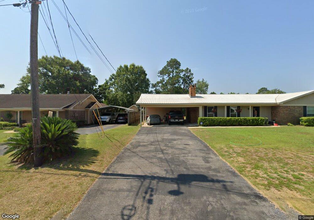
8351 Champlain Cir Mobile, AL 36695
D'Iberville NeighborhoodEstimated Value: $185,470 - $234,000
3
Beds
2
Baths
1,700
Sq Ft
$127/Sq Ft
Est. Value
About This Home
This home is located at 8351 Champlain Cir, Mobile, AL 36695 and is currently estimated at $216,368, approximately $127 per square foot. 8351 Champlain Cir is a home located in Mobile County with nearby schools including O'rourke Elementary School, Bernice J Causey Middle School, and Baker High School.
Ownership History
Date
Name
Owned For
Owner Type
Purchase Details
Closed on
Aug 24, 2015
Sold by
Craft Lydia H
Bought by
Craft Robert D
Current Estimated Value
Purchase Details
Closed on
Jun 21, 2002
Sold by
Piper Frank C
Bought by
Craft Robert D and Craft Lydia H
Home Financials for this Owner
Home Financials are based on the most recent Mortgage that was taken out on this home.
Original Mortgage
$77,425
Interest Rate
6.77%
Create a Home Valuation Report for This Property
The Home Valuation Report is an in-depth analysis detailing your home's value as well as a comparison with similar homes in the area
Home Values in the Area
Average Home Value in this Area
Purchase History
| Date | Buyer | Sale Price | Title Company |
|---|---|---|---|
| Craft Robert D | $55,550 | None Available | |
| Craft Robert D | -- | -- |
Source: Public Records
Mortgage History
| Date | Status | Borrower | Loan Amount |
|---|---|---|---|
| Previous Owner | Craft Robert D | $77,425 |
Source: Public Records
Tax History
| Year | Tax Paid | Tax Assessment Tax Assessment Total Assessment is a certain percentage of the fair market value that is determined by local assessors to be the total taxable value of land and additions on the property. | Land | Improvement |
|---|---|---|---|---|
| 2025 | $635 | $17,040 | $2,500 | $14,540 |
| 2024 | $635 | $15,050 | $2,500 | $12,550 |
| 2023 | $663 | $13,650 | $2,500 | $11,150 |
| 2022 | $522 | $12,130 | $2,500 | $9,630 |
| 2021 | $480 | $11,260 | $2,500 | $8,760 |
| 2020 | $480 | $11,260 | $2,500 | $8,760 |
| 2019 | $488 | $11,440 | $0 | $0 |
| 2018 | $488 | $11,440 | $0 | $0 |
| 2017 | $488 | $11,440 | $0 | $0 |
| 2016 | $500 | $11,700 | $0 | $0 |
| 2013 | $1,177 | $24,000 | $0 | $0 |
Source: Public Records
Map
Nearby Homes
- 8451 Placid Dr
- 0 Chapel Hill Ct Unit 7671872
- 0 Leroy Stevens Rd Unit 7607129
- 0 Leroy Stevens Rd Unit 7582878
- 2575 Rosebud Dr
- 8601 Cottage Hill Rd
- 2316 Leroy Stevens Rd
- 8080 Danielle Dr
- 2271 Carrington Dr
- 8100 Danielle Dr
- 2200 O'Rourke Dr
- 2155 Brittany Dr
- 0 Dutchman Woods Dr Unit 7696149
- 0 Dutchman Woods Dr Unit 7519300
- 0 Dutchman Woods Dr Unit 45 373633
- 0 Dutchman Woods Dr Unit 47-49 367617
- 0 Dutchman Woods Dr Unit 43,44
- 8525 Gayla Ct
- 8760 Whittington Dr
- The Kingston Plan at Coxwell Crossing
- 8371 Champlain Cir
- 8317 Champlain Cir
- 8370 Twin Lakes Dr
- 8360 Twin Lakes Dr
- 8313 Champlain Cir
- 8401 Champlain Cir
- 2551 Pontchartrain Dr
- 2540 Pontchartrain Dr
- 8380 Twin Lakes Dr
- 8350 Twin Lakes Dr
- 8390 Champlain Cir
- 8411 Champlain Cir
- 8331 Champlain Cir
- 8330 Twin Lakes Dr
- 2504 Pontchartrain Dr
- 8400 Champlain Cir
- 8330 Champlain Cir Unit 1
- 8362 Twin Lakes Dr
- 8363 Twin Lakes Dr
- 8310 Twin Lakes Dr
Your Personal Tour Guide
Ask me questions while you tour the home.