8351 Langmaid Rd Newark, MD 21841
Estimated Value: $318,000 - $336,000
--
Bed
2
Baths
1,320
Sq Ft
$247/Sq Ft
Est. Value
About This Home
This home is located at 8351 Langmaid Rd, Newark, MD 21841 and is currently estimated at $326,654, approximately $247 per square foot. 8351 Langmaid Rd is a home located in Worcester County with nearby schools including Snow Hill Elementary School, Snow Hill Middle School, and Snow Hill High School.
Ownership History
Date
Name
Owned For
Owner Type
Purchase Details
Closed on
Apr 12, 2022
Sold by
Crystal Hirsh
Bought by
Thrift Cheryl
Current Estimated Value
Home Financials for this Owner
Home Financials are based on the most recent Mortgage that was taken out on this home.
Original Mortgage
$296,530
Outstanding Balance
$279,875
Interest Rate
4.72%
Mortgage Type
New Conventional
Estimated Equity
$46,779
Purchase Details
Closed on
Feb 19, 2002
Sold by
T & G Inc
Bought by
Shipe John W and Shipe Paula J
Create a Home Valuation Report for This Property
The Home Valuation Report is an in-depth analysis detailing your home's value as well as a comparison with similar homes in the area
Home Values in the Area
Average Home Value in this Area
Purchase History
| Date | Buyer | Sale Price | Title Company |
|---|---|---|---|
| Thrift Cheryl | $302,000 | Ocean Investments Title | |
| Shipe John W | $115,000 | -- |
Source: Public Records
Mortgage History
| Date | Status | Borrower | Loan Amount |
|---|---|---|---|
| Open | Thrift Cheryl | $296,530 | |
| Closed | Shipe John W | -- |
Source: Public Records
Tax History Compared to Growth
Tax History
| Year | Tax Paid | Tax Assessment Tax Assessment Total Assessment is a certain percentage of the fair market value that is determined by local assessors to be the total taxable value of land and additions on the property. | Land | Improvement |
|---|---|---|---|---|
| 2025 | $2,228 | $258,300 | $56,700 | $201,600 |
| 2024 | $2,228 | $233,900 | $0 | $0 |
| 2023 | $1,996 | $209,500 | $0 | $0 |
| 2022 | $1,764 | $185,100 | $56,700 | $128,400 |
| 2021 | $1,722 | $183,767 | $0 | $0 |
| 2020 | $1,625 | $182,433 | $0 | $0 |
| 2019 | $1,632 | $181,100 | $56,700 | $124,400 |
| 2018 | $1,551 | $181,100 | $56,700 | $124,400 |
| 2017 | $1,498 | $181,100 | $0 | $0 |
| 2016 | $1,498 | $183,300 | $0 | $0 |
| 2015 | $1,125 | $181,767 | $0 | $0 |
| 2014 | $1,125 | $180,233 | $0 | $0 |
Source: Public Records
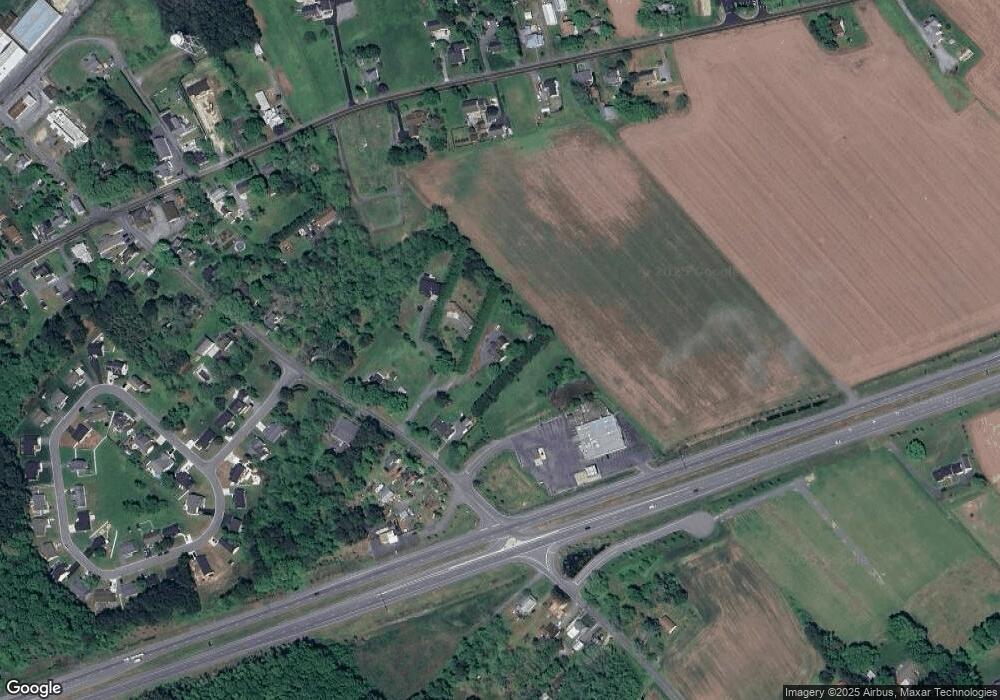
Map
Nearby Homes
- Lot 5 Newark Rd
- Lot 4 Newark Rd
- Lot 3 Newark Rd
- 0 Newark Rd Unit MDWO2032424
- 0 Newark Rd Unit MDWO2014316
- 8422 Newark Rd
- 7109 Daffodil Ln Rd
- 0 Worcester Hwy Unit MDWO2031236
- 7613 Acorn Rd
- 6629 Bowden Rd
- 6744 Basket Switch Rd
- 0 Patey Woods Rd Unit MDWO2031602
- 6019 Basket Switch Rd
- 0 E Shire Dr
- 0 Evans Rd Unit MDWO2011414
- 0 Cedartown Rd
- 0 Newport Bay Dr Unit MDWO102088
- 11334 Newport Bay Dr
- 6513 Hampton Rd
- Lot 23 Hampton Rd
- 8355 Langmaid Rd
- 8347 Langmaid Rd
- 8361 Langmaid Rd
- 8341 Langmaid Rd
- 8349 Langmaid Rd
- 8354 Langmaid Rd
- 7167 Worcester Hwy
- 8358 Langmaid Rd
- 8340 Langmaid Rd Unit D
- 8340 Langmaid Rd Unit B
- 8340 Langmaid Rd Unit C
- 8340 Langmaid Rd Unit A
- 8335 Langmaid Rd
- 8438 Newark Rd
- 7091 Worcester Hwy
- 8321 Langmaid Rd
- 8325 Langmaid Rd
- 7152 Arcadia Cir
- Lot 8 Arcadia Cir
- Lot 7 Arcadia Cir