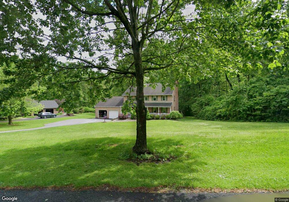
8351 S Ridge Dr Macungie, PA 18062
Lower Macungie Township West NeighborhoodEstimated Value: $584,000 - $674,000
4
Beds
3
Baths
2,706
Sq Ft
$231/Sq Ft
Est. Value
About This Home
This home is located at 8351 S Ridge Dr, Macungie, PA 18062 and is currently estimated at $625,840, approximately $231 per square foot. 8351 S Ridge Dr is a home located in Lehigh County with nearby schools including Alburtis Elementary School, Lower Macungie Middle School, and Emmaus High School.
Ownership History
Date
Name
Owned For
Owner Type
Purchase Details
Closed on
Jul 9, 1992
Sold by
Burns John L
Bought by
Burns Christopher P
Current Estimated Value
Purchase Details
Closed on
Oct 25, 1991
Sold by
Burns John L and Burns Sharon J
Bought by
Burns John L
Purchase Details
Closed on
Aug 12, 1987
Sold by
Ridge Associates
Bought by
Burns John L and Burns Sharon J
Purchase Details
Closed on
Dec 12, 1986
Bought by
Ridge Associates
Create a Home Valuation Report for This Property
The Home Valuation Report is an in-depth analysis detailing your home's value as well as a comparison with similar homes in the area
Home Values in the Area
Average Home Value in this Area
Purchase History
| Date | Buyer | Sale Price | Title Company |
|---|---|---|---|
| Burns Christopher P | -- | -- | |
| Burns John L | -- | -- | |
| Burns John L | $36,900 | -- | |
| Ridge Associates | $75,000 | -- |
Source: Public Records
Tax History Compared to Growth
Tax History
| Year | Tax Paid | Tax Assessment Tax Assessment Total Assessment is a certain percentage of the fair market value that is determined by local assessors to be the total taxable value of land and additions on the property. | Land | Improvement |
|---|---|---|---|---|
| 2025 | $7,904 | $309,600 | $81,800 | $227,800 |
| 2024 | $7,647 | $309,600 | $81,800 | $227,800 |
| 2023 | $7,494 | $309,600 | $81,800 | $227,800 |
| 2022 | $7,317 | $309,600 | $227,800 | $81,800 |
| 2021 | $7,161 | $309,600 | $81,800 | $227,800 |
| 2020 | $7,093 | $309,600 | $81,800 | $227,800 |
| 2019 | $6,972 | $309,600 | $81,800 | $227,800 |
| 2018 | $6,881 | $309,600 | $81,800 | $227,800 |
| 2017 | $6,761 | $309,600 | $81,800 | $227,800 |
| 2016 | -- | $309,600 | $81,800 | $227,800 |
| 2015 | -- | $309,600 | $81,800 | $227,800 |
| 2014 | -- | $309,600 | $81,800 | $227,800 |
Source: Public Records
Map
Nearby Homes
- 1108 S Barbara Dr
- 722 Franklin St
- 428 Thomas St
- 241 Flint Hill Rd
- 3291 Seip Rd
- 221 Franklin St
- 3351 Mathews Ln
- 121 S Main St Unit 123
- 354 W 2nd St
- 331 W 2nd St
- 7458 Scenic View Dr
- 146 Mountain Village Dr
- 83 Mansfield Dr
- 107 Haddon Dr
- 3814 Clay Dr
- 59 Mansfield Dr
- 194 Haddon Dr
- 7077 Hunt Dr
- 6903 Lincoln Dr
- 0 Clauss Hunt Knight Dr Unit 10 Units 763578
- 8325 S Ridge Dr
- 8385 S Ridge Dr
- 8346 S Ridge Dr
- 8305 S Ridge Dr
- 8427 S Ridge Dr
- 8370 S Ridge Dr
- 8322 S Ridge Dr
- 8396 S Ridge Dr
- 8297 S Ridge Dr
- 8300 S Ridge Dr
- 8467 Oak Hollow Ln
- 8292 S Ridge Dr
- 8434 S Ridge Dr
- 8487 S Ridge Dr
- 8470 S Ridge Dr
- 8519 Oak Hollow Ln
- 8510 S Ridge Dr
- 8540 Oak Hollow Ln
- 4090 Mountain Rd
- 4220 Mountain Rd