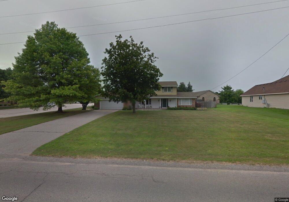
8355 10th Ave Jenison, MI 49428
Estimated Value: $466,381 - $507,000
5
Beds
3
Baths
3,500
Sq Ft
$139/Sq Ft
Est. Value
About This Home
This home is located at 8355 10th Ave, Jenison, MI 49428 and is currently estimated at $485,845, approximately $138 per square foot. 8355 10th Ave is a home located in Ottawa County with nearby schools including Bauerwood Elementary School, Jenison Junior High School, and Jenison High School.
Ownership History
Date
Name
Owned For
Owner Type
Purchase Details
Closed on
Jun 30, 2024
Sold by
Terpstra Craig R and Terpstra Kirsten
Bought by
Terpstra Craig R and Terpstra Kirsten
Current Estimated Value
Purchase Details
Closed on
May 19, 2021
Sold by
Terpstra Craig R and Terpstra Kirsten
Bought by
Terpstra Family Trust
Purchase Details
Closed on
Apr 9, 2007
Sold by
First Jenison Christian Reformed Church
Bought by
Terpstra Craig R and Terpstra Kirsten
Home Financials for this Owner
Home Financials are based on the most recent Mortgage that was taken out on this home.
Original Mortgage
$17,500
Interest Rate
6.19%
Mortgage Type
Credit Line Revolving
Purchase Details
Closed on
May 7, 2004
Sold by
First Jenison Christian Reformed Church
Bought by
Georgetown Harmony Homes
Create a Home Valuation Report for This Property
The Home Valuation Report is an in-depth analysis detailing your home's value as well as a comparison with similar homes in the area
Home Values in the Area
Average Home Value in this Area
Purchase History
| Date | Buyer | Sale Price | Title Company |
|---|---|---|---|
| Terpstra Craig R | -- | None Listed On Document | |
| Terpstra Family Trust | -- | None Available | |
| Terpstra Craig R | $175,000 | None Available | |
| Georgetown Harmony Homes | -- | -- |
Source: Public Records
Mortgage History
| Date | Status | Borrower | Loan Amount |
|---|---|---|---|
| Previous Owner | Terpstra Craig R | $17,500 | |
| Previous Owner | Terpstra Craig R | $140,000 |
Source: Public Records
Tax History Compared to Growth
Tax History
| Year | Tax Paid | Tax Assessment Tax Assessment Total Assessment is a certain percentage of the fair market value that is determined by local assessors to be the total taxable value of land and additions on the property. | Land | Improvement |
|---|---|---|---|---|
| 2025 | $3,029 | $205,000 | $0 | $0 |
| 2024 | $2,628 | $196,800 | $0 | $0 |
| 2023 | $2,509 | $173,100 | $0 | $0 |
| 2022 | $2,423 | $123,300 | $0 | $0 |
| 2021 | $2,353 | $111,300 | $0 | $0 |
| 2020 | $2,327 | $106,400 | $0 | $0 |
| 2019 | $2,329 | $100,100 | $0 | $0 |
| 2018 | $2,150 | $92,200 | $0 | $0 |
| 2017 | $2,113 | $90,500 | $0 | $0 |
| 2016 | $2,100 | $83,800 | $0 | $0 |
| 2015 | $2,004 | $77,900 | $0 | $0 |
| 2014 | $2,004 | $80,100 | $0 | $0 |
Source: Public Records
Map
Nearby Homes
- 1239 Monte Carlo Dr
- 8312 Wallinwood Springs Dr Unit 2
- 1468 Maplewood Dr Unit 9
- 1050 Village Ln
- 7665 Sally Dr
- 893 Baldwin St
- 7676 Louise Ave
- 1101 Robin St
- 8103 Birchwood Ave
- 8237 Greenridge Dr
- 8163 Greenridge Dr
- 8938 Cottonwood Dr
- 7523 Boulder Bluff Dr Unit 82
- 3205 Deer Haven Dr
- 7450 Boulder Bluff Dr Unit 66
- 7450 Boulder Bluff Dr Unit 61
- 1937 Mulberry Ln
- 7425 Boulder Bluff Dr Unit 112
- 7482 Louise Ave
- 7445 Westwood Dr
- 8393 10th Ave
- 8359 Fairwood Dr
- 8420 Corvette Ct
- 8347 Fairwood Dr
- 8373 Fairwood Dr
- 8387 Fairwood Dr
- 8424 Corvette Ct
- 8333 Fairwood Dr
- 8423 Corvette Ct
- 8321 Fairwood Dr
- 8418 Golfside Dr
- 8434 Corvette Ct
- 8427 Corvette Ct
- 8372 Fairwood Dr
- 8346 Fairwood Dr
- 8395 Golfside Dr
- 8309 Fairwood Dr
- 8412 Golfside Dr
- 8332 Fairwood Dr
- 1046 Corvette Dr