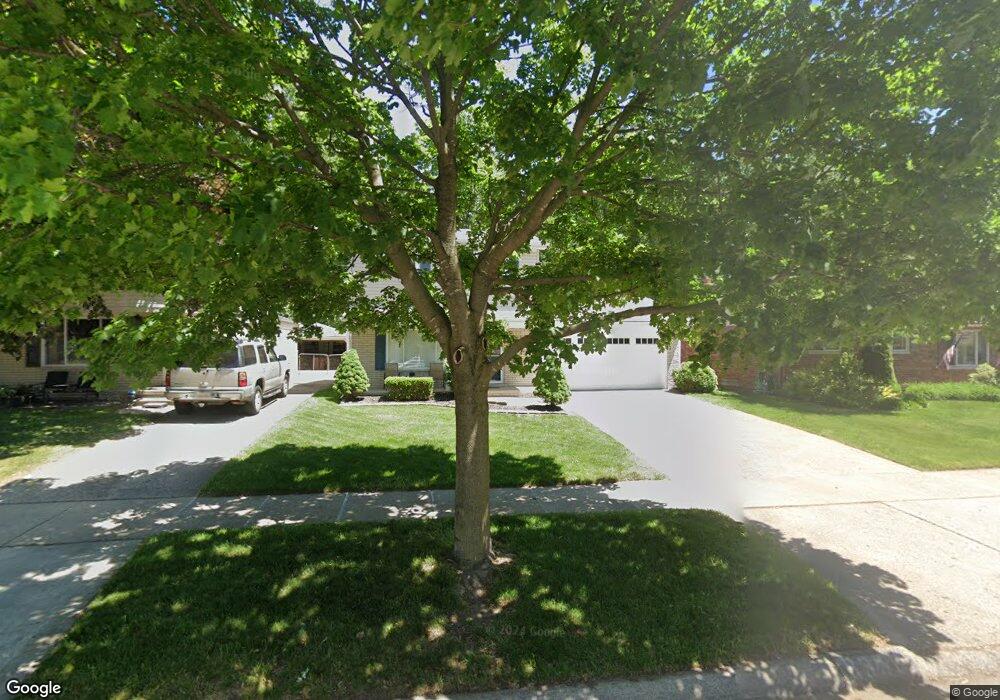
8356 Orhan St Canton, MI 48187
Estimated Value: $310,690 - $334,000
Studio
2
Baths
1,469
Sq Ft
$220/Sq Ft
Est. Value
About This Home
This home is located at 8356 Orhan St, Canton, MI 48187 and is currently estimated at $322,673, approximately $219 per square foot. 8356 Orhan St is a home located in Wayne County with nearby schools including Canton High School, East Middle School, and Salem High School.
Ownership History
Date
Name
Owned For
Owner Type
Purchase Details
Closed on
Nov 6, 2020
Sold by
Napler Linda L
Bought by
Lincoln Mathew and Lincoln Kayla
Current Estimated Value
Home Financials for this Owner
Home Financials are based on the most recent Mortgage that was taken out on this home.
Original Mortgage
$204,250
Outstanding Balance
$181,338
Interest Rate
2.8%
Mortgage Type
New Conventional
Estimated Equity
$141,335
Purchase Details
Closed on
Jul 31, 2008
Sold by
Jenkins Margo and Whiting Ronald E
Bought by
Napier Dennis
Create a Home Valuation Report for This Property
The Home Valuation Report is an in-depth analysis detailing your home's value as well as a comparison with similar homes in the area
Home Values in the Area
Average Home Value in this Area
Purchase History
| Date | Buyer | Sale Price | Title Company |
|---|---|---|---|
| Lincoln Mathew | $215,000 | Title Solutions Agency Llc | |
| Napier Dennis | $153,000 | Capital Title Ins Agency |
Source: Public Records
Mortgage History
| Date | Status | Borrower | Loan Amount |
|---|---|---|---|
| Open | Lincoln Mathew | $204,250 |
Source: Public Records
Tax History
| Year | Tax Paid | Tax Assessment Tax Assessment Total Assessment is a certain percentage of the fair market value that is determined by local assessors to be the total taxable value of land and additions on the property. | Land | Improvement |
|---|---|---|---|---|
| 2025 | $2,191 | $149,400 | $0 | $0 |
| 2024 | $2,128 | $134,700 | $0 | $0 |
| 2023 | $2,029 | $123,900 | $0 | $0 |
| 2022 | $4,449 | $111,900 | $0 | $0 |
| 2021 | $4,316 | $103,600 | $0 | $0 |
| 2020 | $3,010 | $101,400 | $0 | $0 |
| 2019 | $2,955 | $88,870 | $0 | $0 |
| 2018 | $1,198 | $86,090 | $0 | $0 |
| 2017 | $3,059 | $82,800 | $0 | $0 |
| 2016 | $2,692 | $79,400 | $0 | $0 |
| 2015 | $6,581 | $72,870 | $0 | $0 |
| 2013 | $6,378 | $66,410 | $0 | $0 |
| 2010 | -- | $73,570 | $33,536 | $40,034 |
Source: Public Records
Map
Nearby Homes
- 39857 Edmundton St
- 38443 Meghan Ln
- 8895 Knolson Ave
- 38508 Alma Ln
- 40504 Newport Dr
- 40526 Newport Dr Unit 99
- 40584 Newport Ct
- 40548 Newport Dr
- 40666 Newport Dr
- 40705 Newport Dr
- 39500 Warren Rd Unit 242
- 39500 Warren Rd Unit 144
- 39500 Warren Rd Unit 154
- 39500 Warren Rd Unit 115
- 39500 Warren Rd Unit 174
- 37759 Colonial Dr Unit 70
- 219 W Fern
- 37674 Colonial Dr S
- 39110 Orangelawn St
- 38360 Overbrook Ln
Your Personal Tour Guide
Ask me questions while you tour the home.