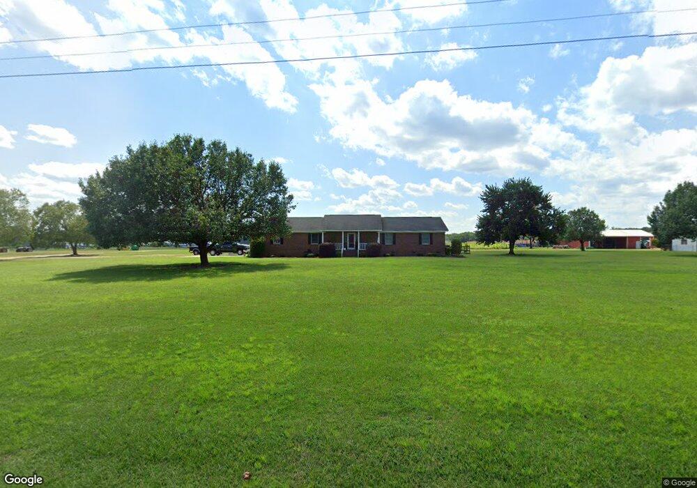
836 N Edisto Rd Leesville, SC 29070
Estimated Value: $67,000 - $643,000
--
Bed
--
Bath
980
Sq Ft
$453/Sq Ft
Est. Value
About This Home
This home is located at 836 N Edisto Rd, Leesville, SC 29070 and is currently estimated at $444,340, approximately $453 per square foot. 836 N Edisto Rd is a home located in Lexington County with nearby schools including Batesburg-Leesville Primary School, Batesburg-Leesville Elementary School, and Batesburg-Leesville Middle School.
Ownership History
Date
Name
Owned For
Owner Type
Purchase Details
Closed on
Sep 1, 2016
Sold by
Gunter Jody K
Bought by
Scruggs Joseph A and Scruggs Jennifer G
Current Estimated Value
Home Financials for this Owner
Home Financials are based on the most recent Mortgage that was taken out on this home.
Original Mortgage
$100,000
Interest Rate
3.43%
Mortgage Type
Unknown
Create a Home Valuation Report for This Property
The Home Valuation Report is an in-depth analysis detailing your home's value as well as a comparison with similar homes in the area
Home Values in the Area
Average Home Value in this Area
Purchase History
| Date | Buyer | Sale Price | Title Company |
|---|---|---|---|
| Scruggs Joseph A | $350,000 | None Available |
Source: Public Records
Mortgage History
| Date | Status | Borrower | Loan Amount |
|---|---|---|---|
| Previous Owner | Scruggs Joseph A | $100,000 | |
| Previous Owner | Scruggs Joseph A | $515,000 |
Source: Public Records
Tax History Compared to Growth
Tax History
| Year | Tax Paid | Tax Assessment Tax Assessment Total Assessment is a certain percentage of the fair market value that is determined by local assessors to be the total taxable value of land and additions on the property. | Land | Improvement |
|---|---|---|---|---|
| 2024 | $181 | $421 | $255 | $166 |
| 2023 | $181 | $421 | $255 | $166 |
| 2022 | $4,416 | $421 | $255 | $166 |
| 2020 | $36 | $11,194 | $255 | $10,939 |
| 2019 | $31 | $8,007 | $287 | $7,720 |
| 2018 | $3,263 | $8,007 | $287 | $7,720 |
| 2017 | $3,170 | $8,007 | $287 | $7,720 |
| 2016 | $1,714 | $4,600 | $459 | $4,141 |
| 2015 | $1,779 | $4,600 | $459 | $4,141 |
| 2014 | $1,779 | $4,788 | $327 | $4,461 |
| 2013 | -- | $4,760 | $300 | $4,460 |
Source: Public Records
Map
Nearby Homes
- 182 Barefoot Rd
- 480 Tom Adams Rd
- 165 Carlton Dr
- 0 Huckleberry Finn Rd
- 341 Frontage Rd Unit Lot 1
- 340 Tarpon Rd
- Lot 5 Quattlebaum Rd Unit 5
- 216 Shumpert Hill Rd
- 0 Palomino Rd Unit Lot 9 599764
- 01 Goose Platter Rd
- 00 Goose Platter Rd
- 0 Bagpipe Rd
- 0 Whiskey Rd Unit 592238
- 151 Latitude Rd
- 541 Holder Rd
- 0000 Holder Rd
- 0 Marcellus Rd
- 520 Senterfeit Rd
- 249 Averitt Valley Rd
- 345 Gary Hallman Cir
- 836 N Edisto Rd
- 819 N Edisto Rd
- 833 N Edisto Rd
- 841 N Edisto Rd
- 827 N Edisto Rd
- 783 N Edisto Rd
- 820 N Edisto Rd
- 820 N Edisto Rd
- 1974 Samaria Hwy
- 916 N Edisto Rd
- 916 N Edisto Rd
- 916 N Edisto Rd
- 924 N Edisto Rd
- 1949 Samaria Hwy
- 1949 Samaria Hwy
- 1949 Samaria Hwy
- 911 N Edisto Rd
- 1938 Samaria Hwy
- 1938 Samaria Hwy
- 1938 Samaria Hwy