Estimated Value: $193,000 - $218,000
3
Beds
2
Baths
1,344
Sq Ft
$154/Sq Ft
Est. Value
About This Home
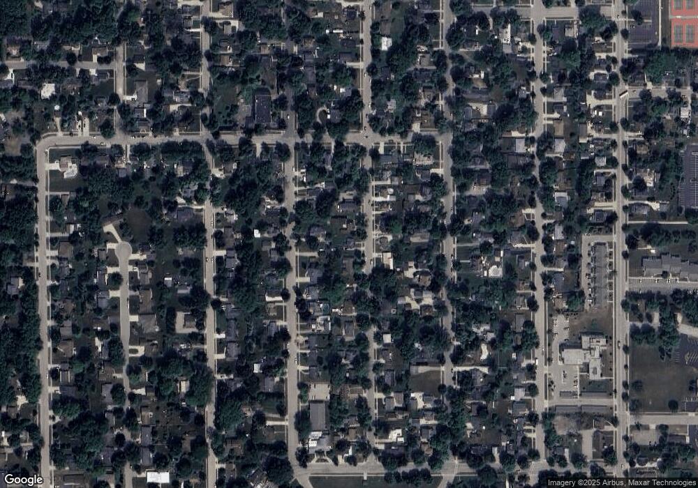
This home is located at 836 Ransom St, Ripon, WI 54971 and is currently estimated at $206,421, approximately $153 per square foot. 836 Ransom St is a home located in Fond du Lac County with nearby schools including Barlow Park Elementary School, Murray Park Elementary School, and Ripon Middle School.
Ownership History
Date
Name
Owned For
Owner Type
Purchase Details
Closed on
Jan 13, 2021
Sold by
Voigtschild Gail and Voigtschild Willard
Bought by
Vinz Richard M and Vinz Tracy R
Current Estimated Value
Home Financials for this Owner
Home Financials are based on the most recent Mortgage that was taken out on this home.
Original Mortgage
$92,400
Outstanding Balance
$82,467
Interest Rate
2.71%
Mortgage Type
Purchase Money Mortgage
Estimated Equity
$123,954
Purchase Details
Closed on
Feb 19, 2004
Sold by
Stellmacher Willard D and Stellmacher Dorothy
Bought by
Willlard And Dorothy Stellmacher Living
Create a Home Valuation Report for This Property
The Home Valuation Report is an in-depth analysis detailing your home's value as well as a comparison with similar homes in the area
Home Values in the Area
Average Home Value in this Area
Purchase History
| Date | Buyer | Sale Price | Title Company |
|---|---|---|---|
| Vinz Richard M | $117,400 | Guaranty Title Services Inc | |
| Willlard And Dorothy Stellmacher Living | -- | None Available |
Source: Public Records
Mortgage History
| Date | Status | Borrower | Loan Amount |
|---|---|---|---|
| Open | Vinz Richard M | $92,400 |
Source: Public Records
Tax History
| Year | Tax Paid | Tax Assessment Tax Assessment Total Assessment is a certain percentage of the fair market value that is determined by local assessors to be the total taxable value of land and additions on the property. | Land | Improvement |
|---|---|---|---|---|
| 2024 | $2,428 | $108,600 | $18,000 | $90,600 |
| 2023 | $2,404 | $108,600 | $18,000 | $90,600 |
| 2022 | $2,312 | $108,600 | $18,000 | $90,600 |
| 2021 | $2,285 | $108,600 | $18,000 | $90,600 |
| 2020 | $1,884 | $90,000 | $18,000 | $72,000 |
| 2019 | $1,901 | $90,000 | $18,000 | $72,000 |
| 2018 | $1,780 | $90,000 | $18,000 | $72,000 |
| 2017 | $2,045 | $99,800 | $21,100 | $78,700 |
| 2016 | $2,125 | $99,800 | $21,100 | $78,700 |
| 2015 | $2,274 | $99,800 | $21,100 | $78,700 |
| 2014 | -- | $96,100 | $21,100 | $75,000 |
| 2013 | $2,121 | $96,100 | $21,100 | $75,000 |
Source: Public Records
Map
Nearby Homes
- 602 Newbury St
- 121 Watertown St
- 522 Metomen St
- 344 Village Ln
- 328 E Fond du Lac St
- 402 Village Ln
- 216 E Fond du Lac St
- 426 Village Ln
- 511 W Griswold St Unit 3
- 778 Hillside Terrace
- 778 Hillside Terrace Unit L
- 778 Hillside Terrace Unit K
- 205 State St
- 200 W Jackson St
- 315 E Jackson St
- 427 Scott St
- 404 W Fond du Lac St
- 515 Liberty St
- L5 Southwoods Ct
- 61 Cedar St
- 836 Ransom St Unit 1
- 830 Ransom St
- 837 Ransom St
- 844 Ransom St
- 811 Ransom St
- 843 Ransom St
- 820 Ransom St
- 809 Ransom St
- 902 Ransom St
- 825 Woodside Ave
- 807 Ransom St
- 810 Ransom St
- 815 Woodside Ave
- 839 Woodside Ave
- 908 Ransom St
- 805 Ransom St
- 915 Ransom St
- 811 Woodside Ave
- 903 Woodside Ave
- 820 Watson St
