8361 Duncan Island Rd Mapleton, OR 97453
Estimated Value: $332,855 - $359,000
2
Beds
1
Bath
990
Sq Ft
$349/Sq Ft
Est. Value
About This Home
This home is located at 8361 Duncan Island Rd, Mapleton, OR 97453 and is currently estimated at $345,714, approximately $349 per square foot. 8361 Duncan Island Rd is a home located in Lane County with nearby schools including Siuslaw Elementary School, Siuslaw Middle School, and Siuslaw High School.
Ownership History
Date
Name
Owned For
Owner Type
Purchase Details
Closed on
Jul 16, 2007
Sold by
Meyer John H and Meyer Nelza E
Bought by
Oconnor John J
Current Estimated Value
Purchase Details
Closed on
Aug 24, 2004
Sold by
Mizer Nancy P
Bought by
Meyer John H and Meyer Nelza E
Home Financials for this Owner
Home Financials are based on the most recent Mortgage that was taken out on this home.
Original Mortgage
$149,925
Interest Rate
5.95%
Mortgage Type
Purchase Money Mortgage
Create a Home Valuation Report for This Property
The Home Valuation Report is an in-depth analysis detailing your home's value as well as a comparison with similar homes in the area
Purchase History
| Date | Buyer | Sale Price | Title Company |
|---|---|---|---|
| Oconnor John J | $200,000 | Western Title & Escrow Compa | |
| Meyer John H | $199,900 | Western Pioneer Title Co |
Source: Public Records
Mortgage History
| Date | Status | Borrower | Loan Amount |
|---|---|---|---|
| Previous Owner | Meyer John H | $149,925 |
Source: Public Records
Tax History
| Year | Tax Paid | Tax Assessment Tax Assessment Total Assessment is a certain percentage of the fair market value that is determined by local assessors to be the total taxable value of land and additions on the property. | Land | Improvement |
|---|---|---|---|---|
| 2025 | $1,895 | $196,637 | -- | -- |
| 2024 | $1,831 | $190,910 | -- | -- |
| 2023 | $1,831 | $185,350 | $0 | $0 |
| 2022 | $1,705 | $179,952 | $0 | $0 |
| 2021 | $1,658 | $174,711 | $0 | $0 |
| 2020 | $1,611 | $169,623 | $0 | $0 |
| 2019 | $1,546 | $164,683 | $0 | $0 |
| 2018 | $1,637 | $155,230 | $0 | $0 |
| 2017 | $1,575 | $155,230 | $0 | $0 |
| 2016 | $1,532 | $150,709 | $0 | $0 |
| 2015 | $1,493 | $146,319 | $0 | $0 |
| 2014 | $1,480 | $142,057 | $0 | $0 |
Source: Public Records
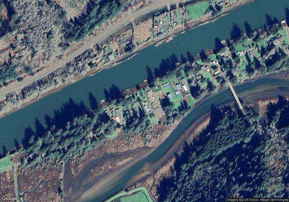
Map
Nearby Homes
- 9247 Highway 126
- 0 Tiernan Rd Unit 2000 366995926
- 0 Tiernan Rd Unit 100
- 87511 Tiernan Rd
- 0 N Fork Rd Unit 770119425
- 89009 Condon Creek Rd
- 6651 Twin Fawn Dr
- 9580 N Fork Siuslaw Rd
- 88620 Ocean View Ln
- 5816 Martin Rd
- 6027 View Loop
- 0 Collard Loop Unit 534944077
- 0 Ocean View Dr
- 0 Jake Mann Ln Unit 8400 23185526
- 0 View Loop Unit 3 526137347
- 5938 View Loop
- 3520 Ocean View Dr
- 3400 31st St
- 3330 31st St
- 10195 Sweet Creek Rd
- 8369 Duncan Island Rd
- 8345 Duncan Island Rd
- 8385 Duncan Island Rd
- 8333 Duncan Island Rd
- 8391 Duncan Island Rd
- 8319 Duncan Island Rd
- 0 Duncan Island Rd Unit 20477975
- 0 Duncan Island Rd Unit 2100 14037801
- 0 Duncan Island Rd
- 8399 Duncan Island Rd
- 8311 Duncan Island Rd
- 8330 Highway 126
- 8305 Duncan Island Rd
- 8429 Duncan Island Rd
- 7891 Duncan Island Rd Rd
- 8439 Duncan Island Rd
- 8455 Duncan Island Rd
- 8477 Duncan Island Rd
- 8483 Duncan Island Rd
- 8483 Duncan Island Rd
Your Personal Tour Guide
Ask me questions while you tour the home.