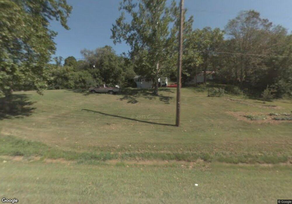
8362 Old State Route 78 Glouster, OH 45732
Estimated Value: $101,871 - $168,000
3
Beds
1
Bath
1,022
Sq Ft
$121/Sq Ft
Est. Value
About This Home
This home is located at 8362 Old State Route 78, Glouster, OH 45732 and is currently estimated at $123,718, approximately $121 per square foot. 8362 Old State Route 78 is a home located in Athens County with nearby schools including Trimble Elementary School, Trimble Middle School, and Trimble High School.
Ownership History
Date
Name
Owned For
Owner Type
Purchase Details
Closed on
Aug 31, 2022
Sold by
Zimmerman Robin L and Zimmerman James
Bought by
Jenkins Roger
Current Estimated Value
Purchase Details
Closed on
Aug 14, 2017
Sold by
Zimmerman Robin L and Kennedy Robin L
Bought by
Jenkins Roger
Purchase Details
Closed on
Aug 12, 2004
Sold by
Withem Allen R and Withem Candice
Bought by
Kennedy Robin L
Create a Home Valuation Report for This Property
The Home Valuation Report is an in-depth analysis detailing your home's value as well as a comparison with similar homes in the area
Home Values in the Area
Average Home Value in this Area
Purchase History
| Date | Buyer | Sale Price | Title Company |
|---|---|---|---|
| Jenkins Roger | $45,000 | Lyles Morgan M | |
| Jenkins Roger | $45,000 | Lyles Morgan M | |
| Jenkins Roger | $45,000 | None Available | |
| Kennedy Robin L | $38,000 | -- |
Source: Public Records
Tax History Compared to Growth
Tax History
| Year | Tax Paid | Tax Assessment Tax Assessment Total Assessment is a certain percentage of the fair market value that is determined by local assessors to be the total taxable value of land and additions on the property. | Land | Improvement |
|---|---|---|---|---|
| 2024 | $870 | $20,970 | $4,540 | $16,430 |
| 2023 | $854 | $20,970 | $4,540 | $16,430 |
| 2022 | $716 | $16,890 | $3,780 | $13,110 |
| 2021 | $733 | $16,890 | $3,780 | $13,110 |
| 2020 | $700 | $16,890 | $3,780 | $13,110 |
| 2019 | $667 | $15,350 | $3,230 | $12,120 |
| 2018 | $736 | $15,350 | $3,230 | $12,120 |
| 2017 | $1,023 | $15,350 | $3,230 | $12,120 |
| 2016 | $681 | $14,270 | $2,940 | $11,330 |
| 2015 | $944 | $14,270 | $2,940 | $11,330 |
| 2014 | $944 | $14,270 | $2,940 | $11,330 |
| 2013 | $808 | $13,970 | $2,670 | $11,300 |
Source: Public Records
Map
Nearby Homes
- 31 Locust St
- 140 Sycamore St
- 33 S High St
- 0 Greens Run Rd
- 93 Main St
- 88 Front St
- 10271 Antle Orchard Rd
- 13899 Locust St
- 19477 Center
- 45747 Long St
- 19500 Lake Dr
- 6 E Main St
- 0 Red Rock Rd
- 11789 Congress Run Rd
- 18242 Ohio 13
- 0 Oregon Ridge Rd Unit 23564746
- 0 Marietta Ave
- 17795 N Akron Ave
- Lambert Rd
- 44438 Carbon Hill Buchtel Rd
- 8350 Hunterdon Rd
- 8432 State Route 78
- 8321 State Route 78
- 8311 Hunterdon Rd
- 8221 Ohio 78
- 8315 Hunterdon Rd
- 8320 Hunterdon Rd
- SR78 Highway
- 8532 Hunterdon Rd
- 8250 Hunterdon Rd
- 8534 State Route 78
- 8234 State Route 78
- 8234 Ohio 78
- 8544 Moscatord
- 8221 Hunterdon Rd
- 8550 Hunterdon Rd
- 8551 State Route 78
- 8577 Old State Route 78
- 8577 Old State Route 78
- 8219 Hunterdon Rd