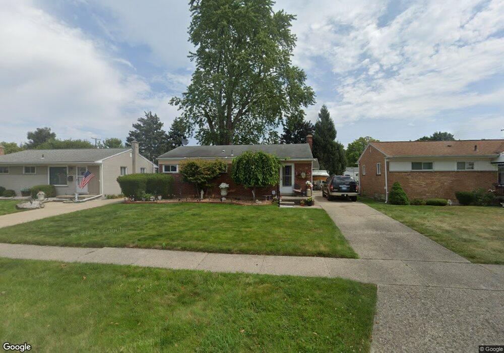
8365 Huron St Taylor, MI 48180
Estimated Value: $181,000 - $216,000
--
Bed
--
Bath
915
Sq Ft
$209/Sq Ft
Est. Value
About This Home
This home is located at 8365 Huron St, Taylor, MI 48180 and is currently estimated at $191,217, approximately $208 per square foot. 8365 Huron St is a home located in Wayne County with nearby schools including Blair Moody Elementary School and Robert J. West Middle School.
Ownership History
Date
Name
Owned For
Owner Type
Purchase Details
Closed on
Jun 1, 2004
Sold by
The Bank Of New York
Bought by
Delplombo Annette
Current Estimated Value
Home Financials for this Owner
Home Financials are based on the most recent Mortgage that was taken out on this home.
Original Mortgage
$111,625
Interest Rate
7.95%
Mortgage Type
Purchase Money Mortgage
Purchase Details
Closed on
Dec 11, 2003
Sold by
Equicredit Corp Of America
Bought by
The Bank Of New York and Eqcc Trust 2001-2
Purchase Details
Closed on
Sep 10, 2003
Sold by
Latendresse Thomas W and Latendresse Dona
Bought by
Equicredit Corp Of America
Create a Home Valuation Report for This Property
The Home Valuation Report is an in-depth analysis detailing your home's value as well as a comparison with similar homes in the area
Home Values in the Area
Average Home Value in this Area
Purchase History
| Date | Buyer | Sale Price | Title Company |
|---|---|---|---|
| Delplombo Annette | $117,500 | Attorneys Title Agency Llc | |
| The Bank Of New York | -- | -- | |
| Equicredit Corp Of America | $106,689 | -- |
Source: Public Records
Mortgage History
| Date | Status | Borrower | Loan Amount |
|---|---|---|---|
| Previous Owner | Delplombo Annette | $111,625 |
Source: Public Records
Tax History Compared to Growth
Tax History
| Year | Tax Paid | Tax Assessment Tax Assessment Total Assessment is a certain percentage of the fair market value that is determined by local assessors to be the total taxable value of land and additions on the property. | Land | Improvement |
|---|---|---|---|---|
| 2025 | $1,932 | $88,800 | $0 | $0 |
| 2024 | $1,932 | $85,000 | $0 | $0 |
| 2023 | $2,303 | $74,900 | $0 | $0 |
| 2022 | $1,843 | $66,100 | $0 | $0 |
| 2021 | $2,027 | $59,600 | $0 | $0 |
| 2020 | $2,006 | $57,000 | $0 | $0 |
| 2019 | $153,637 | $49,100 | $0 | $0 |
| 2018 | $791 | $40,400 | $0 | $0 |
| 2017 | $1,209 | $39,500 | $0 | $0 |
| 2016 | $2,074 | $38,300 | $0 | $0 |
| 2015 | $3,576 | $36,200 | $0 | $0 |
| 2013 | $3,560 | $36,300 | $0 | $0 |
| 2012 | $1,565 | $36,400 | $11,500 | $24,900 |
Source: Public Records
Map
Nearby Homes
- 8025 Mayfair St
- 8951 Rackham St
- 20234 Champaign St
- 9134 Weddel St
- 7854 Jackson St
- 20812 Wick Rd
- 8910 Mason St
- 20968 Shannon St
- 20100 Wick Rd
- 7924 Pelham Rd
- 21056 Wick Rd
- 7580 Mayfair St
- 7868 Robinson Ave
- 21059 Wick Rd
- 9444 Polk St
- 7847 William St
- 8027 Kolb Ave
- 7210 Buckingham Ave
- 7564 Clippert St
- 17439 Brody Ave