8366 Prince Edward Rd Stokesdale, NC 27357
Estimated Value: $508,000 - $694,000
3
Beds
2
Baths
2,688
Sq Ft
$213/Sq Ft
Est. Value
About This Home
This home is located at 8366 Prince Edward Rd, Stokesdale, NC 27357 and is currently estimated at $572,895, approximately $213 per square foot. 8366 Prince Edward Rd is a home located in Guilford County with nearby schools including Stokesdale Elementary School, Northwest Guilford Middle School, and Northwest Guilford High School.
Ownership History
Date
Name
Owned For
Owner Type
Purchase Details
Closed on
Aug 31, 1998
Sold by
Carraway Richard S and Carraway Linda B
Bought by
Burkhead Robert W and Burkhead Patricia R
Current Estimated Value
Create a Home Valuation Report for This Property
The Home Valuation Report is an in-depth analysis detailing your home's value as well as a comparison with similar homes in the area
Home Values in the Area
Average Home Value in this Area
Purchase History
| Date | Buyer | Sale Price | Title Company |
|---|---|---|---|
| Burkhead Robert W | -- | -- |
Source: Public Records
Tax History Compared to Growth
Tax History
| Year | Tax Paid | Tax Assessment Tax Assessment Total Assessment is a certain percentage of the fair market value that is determined by local assessors to be the total taxable value of land and additions on the property. | Land | Improvement |
|---|---|---|---|---|
| 2025 | $3,023 | $353,400 | $64,400 | $289,000 |
| 2024 | $3,023 | $353,400 | $64,400 | $289,000 |
| 2023 | $3,023 | $353,400 | $64,400 | $289,000 |
| 2022 | $2,935 | $353,400 | $64,400 | $289,000 |
| 2021 | $2,093 | $252,000 | $47,800 | $204,200 |
| 2020 | $2,093 | $252,000 | $47,800 | $204,200 |
| 2019 | $2,093 | $252,000 | $0 | $0 |
| 2018 | $2,082 | $252,000 | $0 | $0 |
| 2017 | $2,014 | $242,500 | $0 | $0 |
| 2016 | $1,878 | $219,700 | $0 | $0 |
| 2015 | $1,889 | $219,700 | $0 | $0 |
| 2014 | $1,911 | $219,700 | $0 | $0 |
Source: Public Records
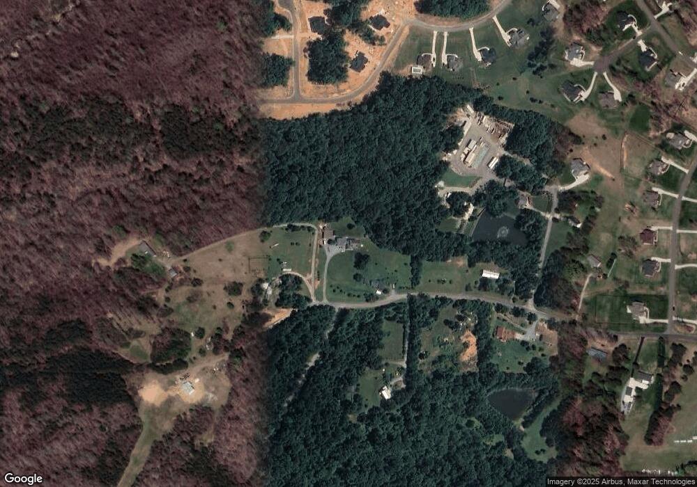
Map
Nearby Homes
- 8109 Odin Ct
- 8295 Branson Rd
- 8309 Prince Edward Rd
- 8300A Mccrory Rd
- 7729 Nc Highway 68 N
- 8300 Trottington Rd
- 8407 Stokesdale St
- 7814 Neugent Dr
- Newport Lux Plan at Blacksmith
- Kendall Lux Plan at Blacksmith
- Hampton Plan at Blacksmith
- Fairfield Lux Plan at Blacksmith
- Hanover Lux Plan at Blacksmith
- Lancaster Plan at Blacksmith
- 8113 Simon Dr
- 8105 Simon Dr
- 8124 Simon Dr
- 8128 Simon Dr
- 8120 Simon Dr Unit Lot 47
- 8100 Simon Dr
- 8364 Prince Edward Rd
- 8109 Lulworth Dr
- 0 Prince Edward
- 8351 Prince Edward Rd
- 8354 Prince Edward Rd
- 8201 Cogan Ln
- 8341 Prince Edward Rd
- 8213 Lulworth Dr
- 7819 Backridge Dr
- 7821 Backridge Dr
- 8300 Poplar Bluff Dr
- 8339 Prince Edward Rd
- 8105 Odin Ct
- 8104 Lulworth Dr
- 8348 Prince Edward Rd
- 8200 Poplar Bluff Dr
- 8346 Prince Edward Rd
- 8204 Cogan Ln
- 7817 Backridge Dr
- 8200 Odin Ct