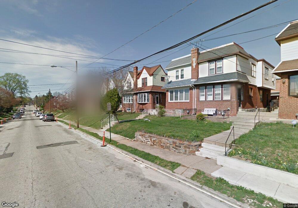
837 Bullock Ave Lansdowne, PA 19050
Estimated Value: $231,000 - $313,000
3
Beds
1
Bath
1,692
Sq Ft
$152/Sq Ft
Est. Value
About This Home
This home is located at 837 Bullock Ave, Lansdowne, PA 19050 and is currently estimated at $256,984, approximately $151 per square foot. 837 Bullock Ave is a home located in Delaware County with nearby schools including Evans Elementary School, Penn Wood Middle School, and Penn Wood High School - Cypress Street Campus.
Ownership History
Date
Name
Owned For
Owner Type
Purchase Details
Closed on
Oct 24, 1997
Sold by
Fredland Daniel R and Kozak Stephen J
Bought by
Harmon Michele T
Current Estimated Value
Home Financials for this Owner
Home Financials are based on the most recent Mortgage that was taken out on this home.
Original Mortgage
$71,421
Outstanding Balance
$11,194
Interest Rate
7.17%
Mortgage Type
FHA
Estimated Equity
$245,790
Create a Home Valuation Report for This Property
The Home Valuation Report is an in-depth analysis detailing your home's value as well as a comparison with similar homes in the area
Home Values in the Area
Average Home Value in this Area
Purchase History
| Date | Buyer | Sale Price | Title Company |
|---|---|---|---|
| Harmon Michele T | $71,000 | T A Title Insurance Co |
Source: Public Records
Mortgage History
| Date | Status | Borrower | Loan Amount |
|---|---|---|---|
| Open | Harmon Michele T | $71,421 |
Source: Public Records
Tax History Compared to Growth
Tax History
| Year | Tax Paid | Tax Assessment Tax Assessment Total Assessment is a certain percentage of the fair market value that is determined by local assessors to be the total taxable value of land and additions on the property. | Land | Improvement |
|---|---|---|---|---|
| 2025 | $4,908 | $114,930 | $31,990 | $82,940 |
| 2024 | $4,908 | $114,930 | $31,990 | $82,940 |
| 2023 | $4,457 | $114,930 | $31,990 | $82,940 |
| 2022 | $4,250 | $114,930 | $31,990 | $82,940 |
| 2021 | $6,427 | $114,930 | $31,990 | $82,940 |
| 2020 | $4,091 | $65,510 | $18,460 | $47,050 |
| 2019 | $4,019 | $65,510 | $18,460 | $47,050 |
| 2018 | $3,963 | $65,510 | $0 | $0 |
| 2017 | $3,880 | $65,510 | $0 | $0 |
| 2016 | $360 | $65,510 | $0 | $0 |
| 2015 | $360 | $65,510 | $0 | $0 |
| 2014 | $360 | $65,510 | $0 | $0 |
Source: Public Records
Map
Nearby Homes
- 800 Bullock Ave
- 825 Laurel Rd
- 908 Yeadon Ave
- 808 Serrill Ave
- 740 Church Ln
- 813 Arbor Rd
- 921 Serrill Ave
- 939 Serrill Ave
- 722 Yeadon Ave
- 711 Yeadon Ave Unit 1
- 923 Bell Ave
- 702 Cedar Ave
- 1049 Yeadon Ave
- 1016 Whitby Ave
- 6535 Windsor St
- 6718 Cobbs Creek Pkwy
- 1781 S 65th St
- 6835 Chester Ave
- 6564 Belmar St
- 536 Cypress St
- 839 Bullock Ave
- 835 Bullock Ave
- 833 Bullock Ave
- 841 Bullock Ave
- 843 Bullock Ave
- 831 Bullock Ave
- 845 Bullock Ave
- 829 Bullock Ave
- 836 Church Ln
- 838 Church Ln
- 840 Church Ln
- 847 Bullock Ave
- 832 Church Ln
- 827 Bullock Ave
- 842 Church Ln
- 830 Church Ln
- 844 Church Ln
- 825 Bullock Ave
- 849 Bullock Ave
- 828 Church Ln