837 Cape Dr Friday Harbor, WA 98250
Estimated Value: $882,000 - $1,334,000
1
Bed
2
Baths
882
Sq Ft
$1,229/Sq Ft
Est. Value
About This Home
This home is located at 837 Cape Dr, Friday Harbor, WA 98250 and is currently estimated at $1,083,766, approximately $1,228 per square foot. 837 Cape Dr is a home located in San Juan County with nearby schools including Friday Harbor Elementary School, Friday Harbor Middle School, and Friday Harbor High School.
Ownership History
Date
Name
Owned For
Owner Type
Purchase Details
Closed on
Jun 17, 2014
Sold by
Mauer Michael L
Bought by
Rasmussen Robert O and Rasmussen Sharon M
Current Estimated Value
Home Financials for this Owner
Home Financials are based on the most recent Mortgage that was taken out on this home.
Original Mortgage
$417,000
Outstanding Balance
$315,981
Interest Rate
4.1%
Mortgage Type
New Conventional
Estimated Equity
$767,785
Create a Home Valuation Report for This Property
The Home Valuation Report is an in-depth analysis detailing your home's value as well as a comparison with similar homes in the area
Home Values in the Area
Average Home Value in this Area
Purchase History
| Date | Buyer | Sale Price | Title Company |
|---|---|---|---|
| Rasmussen Robert O | $576,877 | Chicago Title |
Source: Public Records
Mortgage History
| Date | Status | Borrower | Loan Amount |
|---|---|---|---|
| Open | Rasmussen Robert O | $417,000 |
Source: Public Records
Tax History Compared to Growth
Tax History
| Year | Tax Paid | Tax Assessment Tax Assessment Total Assessment is a certain percentage of the fair market value that is determined by local assessors to be the total taxable value of land and additions on the property. | Land | Improvement |
|---|---|---|---|---|
| 2024 | $5,122 | $873,900 | $566,020 | $307,880 |
| 2023 | $5,122 | $887,780 | $566,020 | $321,760 |
| 2022 | $4,444 | $844,660 | $566,020 | $278,640 |
| 2021 | $4,112 | $595,980 | $428,800 | $167,180 |
| 2020 | $4,036 | $558,390 | $408,380 | $150,010 |
| 2019 | $3,717 | $535,900 | $408,380 | $127,520 |
| 2018 | $3,928 | $579,960 | $494,170 | $85,790 |
| 2017 | $3,913 | $480,380 | $408,380 | $72,000 |
| 2016 | $4,029 | $506,530 | $429,870 | $76,660 |
| 2015 | $4,029 | $507,810 | $429,870 | $77,940 |
| 2014 | $4,029 | $506,500 | $429,870 | $76,630 |
| 2012 | $4,029 | $585,510 | $494,100 | $91,410 |
Source: Public Records
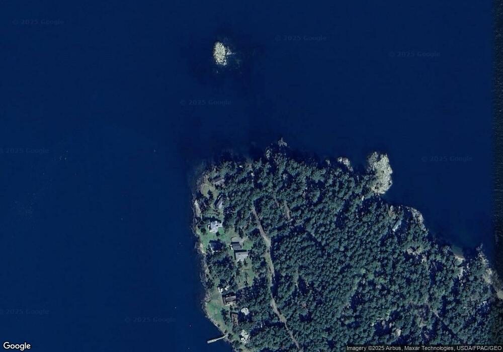
Map
Nearby Homes
- 190 Island Dr
- 40 Driftwood Ln
- 97 Meadow Ln
- 0 Undisclosed-Beach House Unit NWM2434444
- 0 Undisclosed - Farm House Unit NWM2434448
- 317 Eagles Roost Ln
- 0 Channel Rd Unit NWM2377246
- 549 Davis Bay Rd
- 132 Harald Glen Ln
- 5621 Fisherman Bay Rd
- 2553 Cattle Point Rd
- 353 Davies Dr
- 140 Sweetbrier Ln
- 65 Dolphin Ln
- 27 Dryad Place
- 1794 Bayshore Rd
- 1898 Bayshore Rd
- 123 School Rd
- 111 Baker Ln
- 1881 Cattle Point Rd