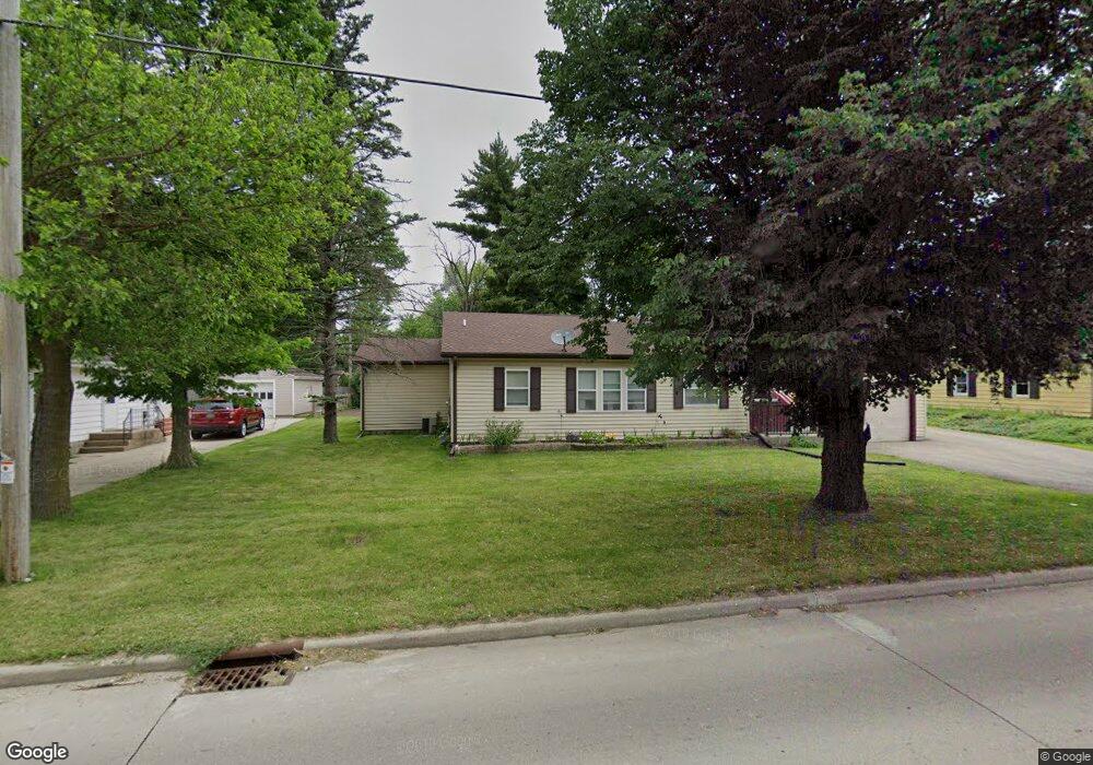
837 Cranston Rd Beloit, WI 53511
Estimated Value: $233,000 - $258,000
3
Beds
2
Baths
1,494
Sq Ft
$164/Sq Ft
Est. Value
About This Home
This home is located at 837 Cranston Rd, Beloit, WI 53511 and is currently estimated at $244,484, approximately $163 per square foot. 837 Cranston Rd is a home located in Rock County with nearby schools including Powers Elementary School, Garden Prairie Intermediate School, and Townview Elementary School.
Ownership History
Date
Name
Owned For
Owner Type
Purchase Details
Closed on
Jul 22, 2024
Sold by
Jones Norris D and Reed Dorothy Jean
Bought by
Jones Norris D and Reed Dorothy Jean
Current Estimated Value
Home Financials for this Owner
Home Financials are based on the most recent Mortgage that was taken out on this home.
Original Mortgage
$166,000
Interest Rate
6.78%
Mortgage Type
VA
Create a Home Valuation Report for This Property
The Home Valuation Report is an in-depth analysis detailing your home's value as well as a comparison with similar homes in the area
Home Values in the Area
Average Home Value in this Area
Purchase History
| Date | Buyer | Sale Price | Title Company |
|---|---|---|---|
| Jones Norris D | -- | None Listed On Document |
Source: Public Records
Mortgage History
| Date | Status | Borrower | Loan Amount |
|---|---|---|---|
| Previous Owner | Jones Norris D | $166,000 |
Source: Public Records
Tax History
| Year | Tax Paid | Tax Assessment Tax Assessment Total Assessment is a certain percentage of the fair market value that is determined by local assessors to be the total taxable value of land and additions on the property. | Land | Improvement |
|---|---|---|---|---|
| 2025 | $3,318 | $213,600 | $11,500 | $202,100 |
| 2024 | $2,340 | $213,600 | $11,500 | $202,100 |
| 2023 | $2,575 | $213,600 | $11,500 | $202,100 |
| 2022 | $2,883 | $143,500 | $9,600 | $133,900 |
| 2021 | $3,271 | $143,500 | $9,600 | $133,900 |
| 2020 | $3,179 | $143,500 | $9,600 | $133,900 |
| 2019 | $3,041 | $143,500 | $9,600 | $133,900 |
| 2018 | $2,894 | $117,300 | $9,600 | $107,700 |
| 2017 | $2,822 | $117,300 | $9,600 | $107,700 |
| 2016 | $2,589 | $117,300 | $9,600 | $107,700 |
| 2015 | $2,720 | $117,300 | $9,600 | $107,700 |
| 2014 | $2,399 | $105,700 | $9,600 | $96,100 |
| 2013 | $2,399 | $105,700 | $9,600 | $96,100 |
Source: Public Records
Map
Nearby Homes
- 826 Sharpes Ct
- 2160 S Wisconsin Ave
- 2020 Cottage Ave
- Hwy 81 48 7 Acres
- 3165 W Prairie Grove Ln
- 3980 S Deer Dr
- 1942 Mound Ave
- 2277 Pioneer Dr
- L17 S Forest View Dr
- 1740 Sumac Ct
- 2535 Loma Dr
- 2107 S Pow Wow Trail
- 1728 Henderson Ave
- 2355 N Pow Wow Trail
- 2365 N Pow Wow Trail
- 1971 Shore Dr
- 2433 Butlin Dr
- 2380 N Pow Wow Trail
- 737 E Briar Ln
- 1878 Greenview Dr
- 845 Cranston Rd
- 831 Cranston Rd
- 832 E Cranston Rd
- 846 Welty Ave
- 828 E Cranston Rd
- 828 Welty Ave
- 850 Welty Ave
- 860 Cranston Rd
- 825 E Cranston Rd
- 857 Cranston Rd
- 825 Cranston Rd
- 822 E Cranston Rd
- 826 Welty Ave
- 860 Welty Ave
- 843 Welty Ave
- 815 Cranston Rd
- 855 E Welty Ave
- 855 Welty Ave
- 808 Welty Ave
- 865 E Cranston Rd
Your Personal Tour Guide
Ask me questions while you tour the home.