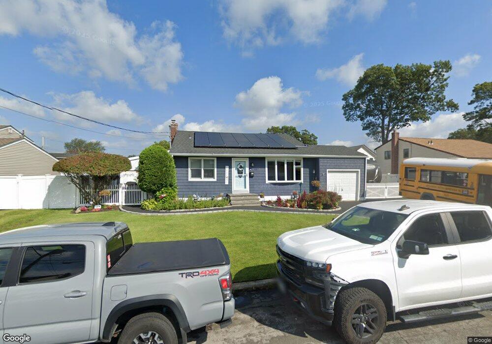
837 Elmwood Rd West Babylon, NY 11704
Estimated Value: $509,000 - $655,000
--
Bed
1
Bath
912
Sq Ft
$649/Sq Ft
Est. Value
About This Home
This home is located at 837 Elmwood Rd, West Babylon, NY 11704 and is currently estimated at $591,511, approximately $648 per square foot. 837 Elmwood Rd is a home located in Suffolk County with nearby schools including West Babylon Senior High School.
Ownership History
Date
Name
Owned For
Owner Type
Purchase Details
Closed on
Jan 4, 2016
Sold by
Santariello William and Santariello Marie
Bought by
Rogers Christopher and Rogers Kathleen
Current Estimated Value
Home Financials for this Owner
Home Financials are based on the most recent Mortgage that was taken out on this home.
Original Mortgage
$235,800
Outstanding Balance
$187,659
Interest Rate
3.98%
Mortgage Type
New Conventional
Estimated Equity
$403,852
Purchase Details
Closed on
May 30, 2006
Create a Home Valuation Report for This Property
The Home Valuation Report is an in-depth analysis detailing your home's value as well as a comparison with similar homes in the area
Home Values in the Area
Average Home Value in this Area
Purchase History
| Date | Buyer | Sale Price | Title Company |
|---|---|---|---|
| Rogers Christopher | $262,000 | Lakehill Title | |
| -- | -- | -- |
Source: Public Records
Mortgage History
| Date | Status | Borrower | Loan Amount |
|---|---|---|---|
| Open | Rogers Christopher | $235,800 |
Source: Public Records
Tax History Compared to Growth
Tax History
| Year | Tax Paid | Tax Assessment Tax Assessment Total Assessment is a certain percentage of the fair market value that is determined by local assessors to be the total taxable value of land and additions on the property. | Land | Improvement |
|---|---|---|---|---|
| 2024 | $11,478 | $3,090 | $300 | $2,790 |
| 2023 | $11,478 | $3,090 | $300 | $2,790 |
| 2022 | $10,247 | $3,090 | $300 | $2,790 |
| 2021 | $10,247 | $3,090 | $300 | $2,790 |
| 2020 | $10,252 | $3,090 | $300 | $2,790 |
| 2019 | $10,252 | $0 | $0 | $0 |
| 2018 | $9,967 | $3,090 | $300 | $2,790 |
| 2017 | $9,967 | $3,090 | $300 | $2,790 |
| 2016 | $10,167 | $3,180 | $300 | $2,880 |
| 2015 | -- | $3,180 | $300 | $2,880 |
| 2014 | -- | $3,180 | $300 | $2,880 |
Source: Public Records
Map
Nearby Homes
- 792 Glendale Rd
- 825 Weber Ave
- 404 N Putnam Ave
- 1 Puritan Place
- 842 Brook St
- 475 N Putnam Ave
- 436 N Ontario Ave
- 323 Grand Ave
- 34 Karen St
- 248 Arnold Ave
- 16 Della Dr
- 669 East Dr
- 417 N Monroe Ave
- 457 N Monroe Ave
- 465 N Monroe Ave
- 166 & 170 Woodrow Pkwy
- 145 Centre Ave
- 557 N Kings Ave
- 115 Old Farmingdale Rd
- 6 Glenda Dr
- 831 Elmwood Rd
- 845 Elmwood Rd
- 838 Frankford Rd
- 830 Frankford Rd
- 846 Frankford Rd
- 838 Elmwood Rd
- 851 Elmwood Rd
- 823 Elmwood Rd
- 824 Frankford Rd
- 830 Elmwood Rd
- 846 Elmwood Rd
- 852 Frankford Rd
- 852 Elmwood Rd
- 815 Elmwood Rd
- 859 Elmwood Rd
- 96 Avenue C
- 837 Frankford Rd
- 839 Densfield Rd
- 831 Densfield Rd
- 831 Frankford Rd