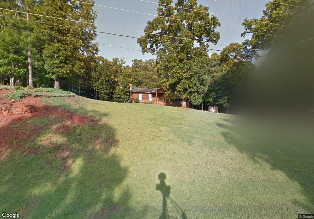
837 Newton Rd Lagrange, GA 30240
Estimated Value: $238,510 - $274,000
3
Beds
2
Baths
1,478
Sq Ft
$175/Sq Ft
Est. Value
About This Home
This home is located at 837 Newton Rd, Lagrange, GA 30240 and is currently estimated at $258,128, approximately $174 per square foot. 837 Newton Rd is a home located in Troup County with nearby schools including Long Cane Elementary School, Berta Weathersbee Elementary School, and Whitesville Road Elementary School.
Ownership History
Date
Name
Owned For
Owner Type
Purchase Details
Closed on
Aug 29, 1995
Sold by
William Gary Dommisse
Bought by
Gordy Barry J
Current Estimated Value
Purchase Details
Closed on
Oct 1, 1981
Sold by
Tommy Clark Norris and Tommy Meri M
Bought by
William Gary Dommisse
Purchase Details
Closed on
May 28, 1977
Sold by
Randale Johnson
Bought by
Tommy Clark Norris and Tommy Meri M
Purchase Details
Closed on
Feb 12, 1977
Sold by
Mcdowell & Assoc
Bought by
Randale Johnson
Purchase Details
Closed on
Feb 11, 1977
Sold by
Rivercrest Est
Bought by
Mcdowell & Assoc
Purchase Details
Closed on
Feb 10, 1977
Sold by
Darden Darden and Darden Ketzky
Bought by
Rivercrest Est
Purchase Details
Closed on
Jan 1, 1969
Bought by
Darden Darden and Darden Ketzky
Create a Home Valuation Report for This Property
The Home Valuation Report is an in-depth analysis detailing your home's value as well as a comparison with similar homes in the area
Home Values in the Area
Average Home Value in this Area
Purchase History
| Date | Buyer | Sale Price | Title Company |
|---|---|---|---|
| Gordy Barry J | $50,000 | -- | |
| William Gary Dommisse | $44,300 | -- | |
| Tommy Clark Norris | $39,800 | -- | |
| Randale Johnson | -- | -- | |
| Mcdowell & Assoc | -- | -- | |
| Rivercrest Est | -- | -- | |
| Darden Darden | -- | -- |
Source: Public Records
Tax History Compared to Growth
Tax History
| Year | Tax Paid | Tax Assessment Tax Assessment Total Assessment is a certain percentage of the fair market value that is determined by local assessors to be the total taxable value of land and additions on the property. | Land | Improvement |
|---|---|---|---|---|
| 2024 | $2,010 | $75,700 | $10,000 | $65,700 |
| 2023 | $1,860 | $70,184 | $10,000 | $60,184 |
| 2022 | $1,830 | $67,544 | $10,000 | $57,544 |
| 2021 | $1,942 | $66,372 | $8,000 | $58,372 |
| 2020 | $1,942 | $66,372 | $8,000 | $58,372 |
| 2019 | $1,840 | $63,008 | $8,000 | $55,008 |
| 2018 | $1,720 | $59,008 | $4,000 | $55,008 |
| 2017 | $1,720 | $59,008 | $4,000 | $55,008 |
| 2016 | $1,712 | $58,738 | $4,000 | $54,738 |
| 2015 | $1,763 | $60,340 | $4,000 | $56,340 |
| 2014 | $1,676 | $57,375 | $4,000 | $53,375 |
| 2013 | -- | $59,715 | $4,000 | $55,715 |
Source: Public Records
Map
Nearby Homes
- 108 Hidden Springs Dr
- 1565 Glass Bridge Rd
- 101 Ivy Springs Dr
- 474 Newton Rd
- 40 River Point Dr
- 106 Landings Way
- 102 Franklin Place
- 102 Landings Way
- 119 Plymouth Dr
- 101 Riverbluff Dr
- 109 Riverbluff Dr
- 201 Lakeview Ct
- 141 Plymouth Dr
- 394 Ferrell Tatum Rd
- 100 Huntcliff Ct
- 135 Planters Ridge Dr
- 105 Hawthorne Cir
- 103 Hawthorne Cir
- 102 Foxdale Dr
- 110 Hawthorne Cir
- 857 Newton Rd
- 815 Newton Rd
- 832 Newton Rd
- 820 Newton Rd
- 844 Newton Rd
- 808 Newton Rd
- 796 Newton Rd
- 877 Newton Rd
- 797 Newton Rd
- 784 Newton Rd
- 779 Newton Rd
- 774 Newton Rd
- 759 Newton Rd
- 921 Newton Rd
- 746 Newton Rd
- 939 Newton Rd
- 158 Old Newton Rd S
- 148 Old Newton Rd S
- 138 Old Newton Rd S
- 128 Old Newton Rd S