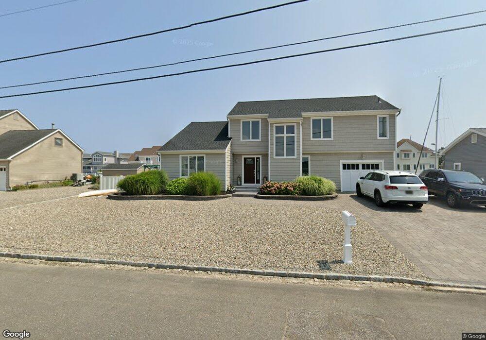
837 Spar Dr Forked River, NJ 08731
Estimated Value: $887,565 - $1,098,000
4
Beds
3
Baths
2,253
Sq Ft
$439/Sq Ft
Est. Value
About This Home
This home is located at 837 Spar Dr, Forked River, NJ 08731 and is currently estimated at $988,141, approximately $438 per square foot. 837 Spar Dr is a home located in Ocean County with nearby schools including Lacey Township High School.
Ownership History
Date
Name
Owned For
Owner Type
Purchase Details
Closed on
Apr 14, 2011
Sold by
Bienz Edward W and Bienz Elizabeth
Current Estimated Value
Home Financials for this Owner
Home Financials are based on the most recent Mortgage that was taken out on this home.
Original Mortgage
$372,000
Outstanding Balance
$257,843
Interest Rate
4.9%
Mortgage Type
New Conventional
Estimated Equity
$730,298
Purchase Details
Closed on
Nov 5, 1998
Sold by
Ackerson Christina M
Bought by
Bienz Edward W and Bienz Elizabeth
Home Financials for this Owner
Home Financials are based on the most recent Mortgage that was taken out on this home.
Original Mortgage
$220,000
Interest Rate
6.49%
Create a Home Valuation Report for This Property
The Home Valuation Report is an in-depth analysis detailing your home's value as well as a comparison with similar homes in the area
Home Values in the Area
Average Home Value in this Area
Purchase History
| Date | Buyer | Sale Price | Title Company |
|---|---|---|---|
| -- | $465,000 | Foundation Title | |
| Bienz Edward W | $275,000 | Transnation Title Insurance |
Source: Public Records
Mortgage History
| Date | Status | Borrower | Loan Amount |
|---|---|---|---|
| Open | -- | $372,000 | |
| Previous Owner | Bienz Edward W | $220,000 |
Source: Public Records
Tax History
| Year | Tax Paid | Tax Assessment Tax Assessment Total Assessment is a certain percentage of the fair market value that is determined by local assessors to be the total taxable value of land and additions on the property. | Land | Improvement |
|---|---|---|---|---|
| 2025 | $14,091 | $515,200 | $283,400 | $231,800 |
| 2024 | $12,205 | $515,200 | $283,400 | $231,800 |
| 2023 | $11,659 | $515,200 | $283,400 | $231,800 |
| 2022 | $11,659 | $515,200 | $283,400 | $231,800 |
| 2021 | $11,463 | $505,200 | $283,400 | $221,800 |
| 2020 | $10,882 | $505,200 | $283,400 | $221,800 |
| 2019 | $10,690 | $505,200 | $283,400 | $221,800 |
| 2018 | $10,564 | $505,200 | $283,400 | $221,800 |
| 2017 | $10,321 | $505,200 | $283,400 | $221,800 |
| 2016 | $10,281 | $505,200 | $283,400 | $221,800 |
| 2015 | $9,821 | $505,200 | $283,400 | $221,800 |
| 2014 | $8,812 | $512,300 | $303,400 | $208,900 |
Source: Public Records
Map
Nearby Homes
- 814 Ensign Dr
- 1025 Capstan Dr
- 986 Capstan Dr
- 0 Windward Dr Unit NJOC2039288
- 0 Windward Dr Unit 22601526
- 915 Shenandoah Dr
- 715 Richmond Dr
- 709 Richmond Dr
- 510 Conifer Dr
- 1407 Hilo Bay Dr
- 330 Riviera Dr
- 0 Union Ct Unit 22605987
- 1600 Beach Blvd
- 207 Sunset Dr
- 1029 Bowsprit Point
- 1609 Tamiami Rd
- 606 Bowsprit Point
- 802 E Hickory Dr
- 1615 Tamiami Rd
- 502 Teakwood Dr
Your Personal Tour Guide
Ask me questions while you tour the home.