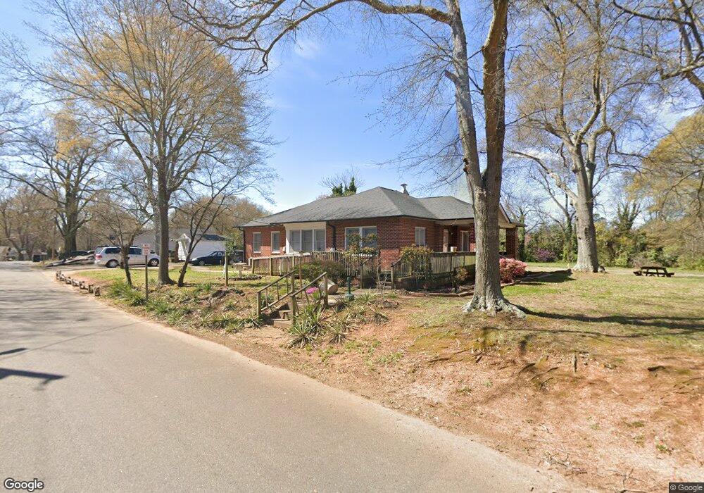
837 W Warren St Shelby, NC 28150
Estimated Value: $194,771 - $271,000
3
Beds
2
Baths
1,680
Sq Ft
$137/Sq Ft
Est. Value
About This Home
This home is located at 837 W Warren St, Shelby, NC 28150 and is currently estimated at $229,943, approximately $136 per square foot. 837 W Warren St is a home located in Cleveland County with nearby schools including Graham Elementary School, Shelby Middle School, and Shelby High School.
Ownership History
Date
Name
Owned For
Owner Type
Purchase Details
Closed on
Jul 24, 2014
Sold by
Peak Mccluney Andre L and Mccluney Quincy
Bought by
Peak Mccluney Andre L and Mccluney Quincy
Current Estimated Value
Purchase Details
Closed on
Apr 4, 2014
Sold by
Shepherd Investment Group Llc
Bought by
Peak Mccluney Andre L and Peak Mia Shatora
Purchase Details
Closed on
Jul 31, 2012
Sold by
Fannie Mae
Bought by
Shepherd Investment Group Llc
Purchase Details
Closed on
Feb 21, 2012
Sold by
Ivanitch Jeffrey S
Bought by
Federal National Mortgage Association and Fannie Mae
Create a Home Valuation Report for This Property
The Home Valuation Report is an in-depth analysis detailing your home's value as well as a comparison with similar homes in the area
Home Values in the Area
Average Home Value in this Area
Purchase History
| Date | Buyer | Sale Price | Title Company |
|---|---|---|---|
| Peak Mccluney Andre L | -- | None Available | |
| Peak Mccluney Andre L | $30,000 | None Available | |
| Shepherd Investment Group Llc | -- | None Available | |
| Federal National Mortgage Association | $42,358 | None Available |
Source: Public Records
Tax History Compared to Growth
Tax History
| Year | Tax Paid | Tax Assessment Tax Assessment Total Assessment is a certain percentage of the fair market value that is determined by local assessors to be the total taxable value of land and additions on the property. | Land | Improvement |
|---|---|---|---|---|
| 2025 | $1,172 | $117,761 | $18,700 | $99,061 |
| 2024 | $895 | $72,183 | $13,838 | $58,345 |
| 2023 | $895 | $72,183 | $13,838 | $58,345 |
| 2022 | $890 | $72,183 | $13,838 | $58,345 |
| 2021 | $895 | $72,183 | $13,838 | $58,345 |
| 2020 | $834 | $65,367 | $13,838 | $51,529 |
| 2019 | $834 | $65,367 | $13,838 | $51,529 |
| 2018 | $833 | $65,367 | $13,838 | $51,529 |
| 2017 | $812 | $65,367 | $13,838 | $51,529 |
| 2016 | $814 | $65,367 | $13,838 | $51,529 |
| 2015 | $772 | $65,236 | $13,838 | $51,398 |
| 2014 | $772 | $65,236 | $13,838 | $51,398 |
Source: Public Records
Map
Nearby Homes
- 219 Young St
- 327 Woodside Dr
- 725 W Graham St
- 724 W Warren St
- 728 Blanton St
- 409 Gold St
- 615 W Warren St
- 910 W Sumter St
- 912 W Sumter St
- 914 W Sumter St
- 916 W Sumter St
- 601 W Marion St
- 912 W Marion St
- 211 Worthington St
- 703 Westover Terrace
- 710 W Elm St
- 300 Westside Dr
- 603 Calvary St
- 628 Westover Terrace
- 607 Ligon St
- 839 W Warren St Unit 20353
- 843 W Warren St Unit 20352
- 843 W Warren St Unit 1+2
- 843 W Warren St
- 220 Young St
- 215 Young St
- 222 Young St
- 217 Young St
- 823 W Warren St
- 832 W Warren St
- 224 Young St
- 228 Young St
- 815 W Graham St
- 223, 225, 229 Young St
- 223 Young St
- 230 Young St
- 214 Gold St
- 223 and 225 Young St
- 210 Gold St
- 216 Gold St