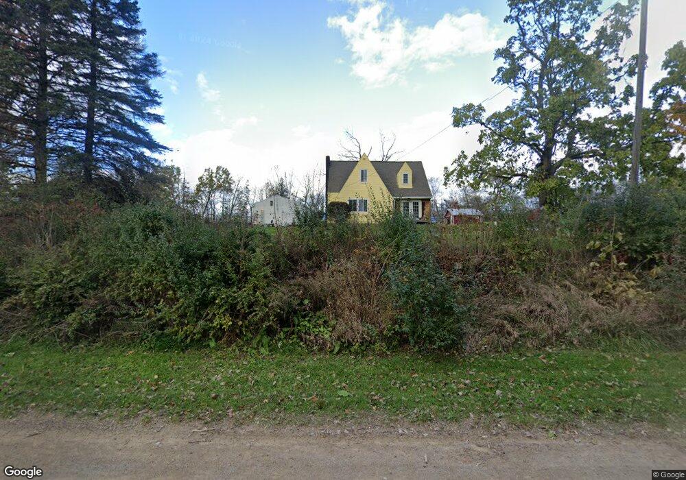
8370 W Rolston Rd Linden, MI 48451
Estimated Value: $90,000 - $246,000
--
Bed
--
Bath
--
Sq Ft
4.69
Acres
About This Home
This home is located at 8370 W Rolston Rd, Linden, MI 48451 and is currently estimated at $168,000. 8370 W Rolston Rd is a home located in Genesee County with nearby schools including Central Elementary School and Linden High School.
Ownership History
Date
Name
Owned For
Owner Type
Purchase Details
Closed on
Apr 4, 2023
Sold by
Williams Sylvia A
Bought by
Mowery Andrew Paul
Current Estimated Value
Home Financials for this Owner
Home Financials are based on the most recent Mortgage that was taken out on this home.
Original Mortgage
$280,000
Interest Rate
6.96%
Mortgage Type
New Conventional
Purchase Details
Closed on
Sep 10, 2019
Sold by
Williams Rick and Williams Sylvia
Bought by
Parks Gregory and Haggerty Katie
Create a Home Valuation Report for This Property
The Home Valuation Report is an in-depth analysis detailing your home's value as well as a comparison with similar homes in the area
Home Values in the Area
Average Home Value in this Area
Purchase History
| Date | Buyer | Sale Price | Title Company |
|---|---|---|---|
| Mowery Andrew Paul | $350,000 | Select Title | |
| Parks Gregory | -- | None Available |
Source: Public Records
Mortgage History
| Date | Status | Borrower | Loan Amount |
|---|---|---|---|
| Previous Owner | Mowery Andrew Paul | $280,000 |
Source: Public Records
Tax History Compared to Growth
Tax History
| Year | Tax Paid | Tax Assessment Tax Assessment Total Assessment is a certain percentage of the fair market value that is determined by local assessors to be the total taxable value of land and additions on the property. | Land | Improvement |
|---|---|---|---|---|
| 2025 | $889 | $23,600 | $0 | $0 |
| 2024 | $379 | $23,600 | $0 | $0 |
| 2023 | $277 | $26,400 | $0 | $0 |
| 2022 | $658 | $26,400 | $0 | $0 |
| 2021 | $650 | $24,700 | $0 | $0 |
| 2020 | $246 | $17,600 | $0 | $0 |
| 2019 | $247 | $18,600 | $0 | $0 |
| 2018 | $608 | $15,000 | $0 | $0 |
| 2017 | $593 | $15,000 | $0 | $0 |
| 2016 | $648 | $16,800 | $0 | $0 |
| 2015 | $492 | $16,400 | $0 | $0 |
| 2014 | $262 | $16,400 | $0 | $0 |
| 2012 | -- | $23,700 | $23,700 | $0 |
Source: Public Records
Map
Nearby Homes
- 13065 White Oaks Unit 17
- 9117 Lahring Rd
- 15122 Ripple Dr
- 8410 Pineview Lake Dr
- 15276 Outer Dr
- Parcel E Hogan Rd
- VL Pineview Lake Dr
- 15542 Pine Cone Ct
- 16048 Moran Dr
- 9127 Pineview Lake
- 1590 W Rolston Rd
- 15082 Meadow Ln
- 8466 Silver Lake Rd
- 5290 Spring Meadows Way
- 16083 Whitehead Dr
- 13150 Westwinds Dr
- 13180 Westwinds Dr
- 13204 Westwinds Dr
- 13168 Westwinds Dr
- 13186 Westwinds Dr
- 8370 W Rolston Rd
- 8396 W Rolston Rd
- 8350 W Rolston Rd
- 13451 Seymour Rd
- 13419 Seymour Rd
- 13383 Seymour Rd
- 8262 W Rolston Rd
- 8444 W Rolston Rd
- 13315 Seymour Rd
- 0 Seymour Rd Unit 218011878
- 0 Seymour Rd Unit 2210096114
- 0 Seymour Rd Unit 30056645
- 8456 W Rolston Rd
- 0 Cole Rd Unit 218021198
- 0 Cole Rd Unit R219001993
- 0 Cole Rd Unit R219057708
- 0 Cole Rd Unit R219071341
- 0 Cole Rd Unit R219120566
- 0 Cole Rd Unit R2200100324
- 0 Cole Rd Unit 4091006