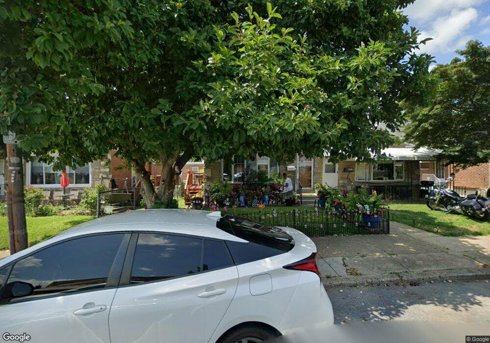
8372 Langdon St Philadelphia, PA 19152
Rhawnhurst NeighborhoodEstimated Value: $291,000 - $330,000
3
Beds
1
Bath
1,066
Sq Ft
$289/Sq Ft
Est. Value
About This Home
This home is located at 8372 Langdon St, Philadelphia, PA 19152 and is currently estimated at $307,963, approximately $288 per square foot. 8372 Langdon St is a home located in Philadelphia County with nearby schools including Farrell Louis H School, Northeast High School, and Tacony Academy Charter School.
Ownership History
Date
Name
Owned For
Owner Type
Purchase Details
Closed on
Aug 29, 2002
Sold by
Colleluori Paul and Colleluori Marissa
Bought by
Kinney Omoiye O
Current Estimated Value
Home Financials for this Owner
Home Financials are based on the most recent Mortgage that was taken out on this home.
Original Mortgage
$119,059
Outstanding Balance
$50,170
Interest Rate
6.36%
Mortgage Type
FHA
Estimated Equity
$257,793
Purchase Details
Closed on
Jul 30, 1998
Sold by
Mayer Gerard and Mayer Mary A
Bought by
Colleluori Paul and Colleluori Marissa
Create a Home Valuation Report for This Property
The Home Valuation Report is an in-depth analysis detailing your home's value as well as a comparison with similar homes in the area
Home Values in the Area
Average Home Value in this Area
Purchase History
| Date | Buyer | Sale Price | Title Company |
|---|---|---|---|
| Kinney Omoiye O | $120,000 | -- | |
| Colleluori Paul | $86,700 | -- |
Source: Public Records
Mortgage History
| Date | Status | Borrower | Loan Amount |
|---|---|---|---|
| Open | Kinney Omoiye O | $119,059 |
Source: Public Records
Tax History Compared to Growth
Tax History
| Year | Tax Paid | Tax Assessment Tax Assessment Total Assessment is a certain percentage of the fair market value that is determined by local assessors to be the total taxable value of land and additions on the property. | Land | Improvement |
|---|---|---|---|---|
| 2025 | $3,143 | $277,500 | $55,500 | $222,000 |
| 2024 | $3,143 | $277,500 | $55,500 | $222,000 |
| 2023 | $3,143 | $224,500 | $44,900 | $179,600 |
| 2022 | $2,133 | $179,500 | $44,900 | $134,600 |
| 2021 | $2,763 | $0 | $0 | $0 |
| 2020 | $2,763 | $0 | $0 | $0 |
| 2019 | $2,515 | $0 | $0 | $0 |
| 2018 | $2,262 | $0 | $0 | $0 |
| 2017 | $2,262 | $0 | $0 | $0 |
| 2016 | $1,842 | $0 | $0 | $0 |
| 2015 | $1,763 | $0 | $0 | $0 |
| 2014 | -- | $161,600 | $45,676 | $115,924 |
| 2012 | -- | $22,144 | $3,659 | $18,485 |
Source: Public Records
Map
Nearby Homes
- 1711 Kendrick St
- 1716 Bergen St
- 1712 Tustin St
- 1804 Megargee St
- 1828 Megargee St
- 1617 Solly Ave
- 8614 Agusta St
- 8606 Frontenac St
- 1832 Mower St
- 1834 Mower St
- 1907 Tustin St
- 1702 Arthur St
- 1704 Stanwood St
- 1625 Rhawn St
- 1443 Rhawn St
- 8562 Benton Ave
- 1718 Rhawn St
- 8523 Benton Ave
- 8563 Benton Ave
- 7950 Algon Ave
- 8370 Langdon St
- 8374 Langdon St
- 8368 Langdon St
- 8376 Langdon St
- 8366 Langdon St
- 8378 Langdon St
- 8347 Algon Ave
- 8345 Algon Ave
- 8364 Langdon St
- 8351 Algon Ave
- 8380 Langdon St
- 8343 Algon Ave
- 8353 Algon Ave
- 8382 Langdon St
- 8362 Langdon St
- 8341 Algon Ave
- 8363 Langdon St
- 8365 Langdon St
- 8367 Langdon St
- 8361 Langdon St