83724 551st Ave Norfolk, NE 68701
Estimated Value: $470,000 - $750,243
3
Beds
2
Baths
2,328
Sq Ft
$267/Sq Ft
Est. Value
About This Home
This home is located at 83724 551st Ave, Norfolk, NE 68701 and is currently estimated at $621,061, approximately $266 per square foot. 83724 551st Ave is a home located in Madison County with nearby schools including Battle Creek Elementary School and Battle Creek High School.
Ownership History
Date
Name
Owned For
Owner Type
Purchase Details
Closed on
Jul 17, 2020
Sold by
Hofmann Larry and Hofmann Gloria A
Bought by
Huntley Lucas A and Huntley Katey A
Current Estimated Value
Purchase Details
Closed on
Apr 20, 2020
Sold by
Mohl James A and Mohl Cynthia Ann
Bought by
Hofmann Larry and Hofmann Gloria A
Home Financials for this Owner
Home Financials are based on the most recent Mortgage that was taken out on this home.
Original Mortgage
$1,000,000
Interest Rate
3.3%
Mortgage Type
Future Advance Clause Open End Mortgage
Purchase Details
Closed on
Apr 24, 2007
Sold by
Mohl James A
Bought by
Mohl Cynthia A
Create a Home Valuation Report for This Property
The Home Valuation Report is an in-depth analysis detailing your home's value as well as a comparison with similar homes in the area
Home Values in the Area
Average Home Value in this Area
Purchase History
| Date | Buyer | Sale Price | Title Company |
|---|---|---|---|
| Huntley Lucas A | $410,000 | American Title & Escrow Co | |
| Hofmann Larry | $1,050,000 | Northeast Nebraska T&E | |
| Mohl Cynthia A | -- | -- |
Source: Public Records
Mortgage History
| Date | Status | Borrower | Loan Amount |
|---|---|---|---|
| Previous Owner | Hofmann Larry | $1,000,000 |
Source: Public Records
Tax History Compared to Growth
Tax History
| Year | Tax Paid | Tax Assessment Tax Assessment Total Assessment is a certain percentage of the fair market value that is determined by local assessors to be the total taxable value of land and additions on the property. | Land | Improvement |
|---|---|---|---|---|
| 2024 | $4,172 | $488,931 | $229,579 | $259,352 |
| 2023 | $6,188 | $455,275 | $209,878 | $245,397 |
| 2022 | $5,656 | $415,954 | $189,761 | $226,193 |
| 2021 | $5,091 | $384,384 | $175,809 | $208,575 |
| 2020 | $5,024 | $382,968 | $174,393 | $208,575 |
| 2019 | $8,170 | $629,736 | $435,662 | $194,074 |
| 2018 | $7,795 | $639,757 | $455,943 | $183,814 |
| 2017 | $8,047 | $651,103 | $481,408 | $169,695 |
| 2016 | $8,418 | $642,000 | $485,258 | $156,742 |
| 2015 | $8,339 | $642,000 | $485,258 | $156,742 |
| 2014 | $10,012 | $712,452 | $567,594 | $144,858 |
| 2013 | $10,550 | $641,746 | $496,888 | $144,858 |
Source: Public Records
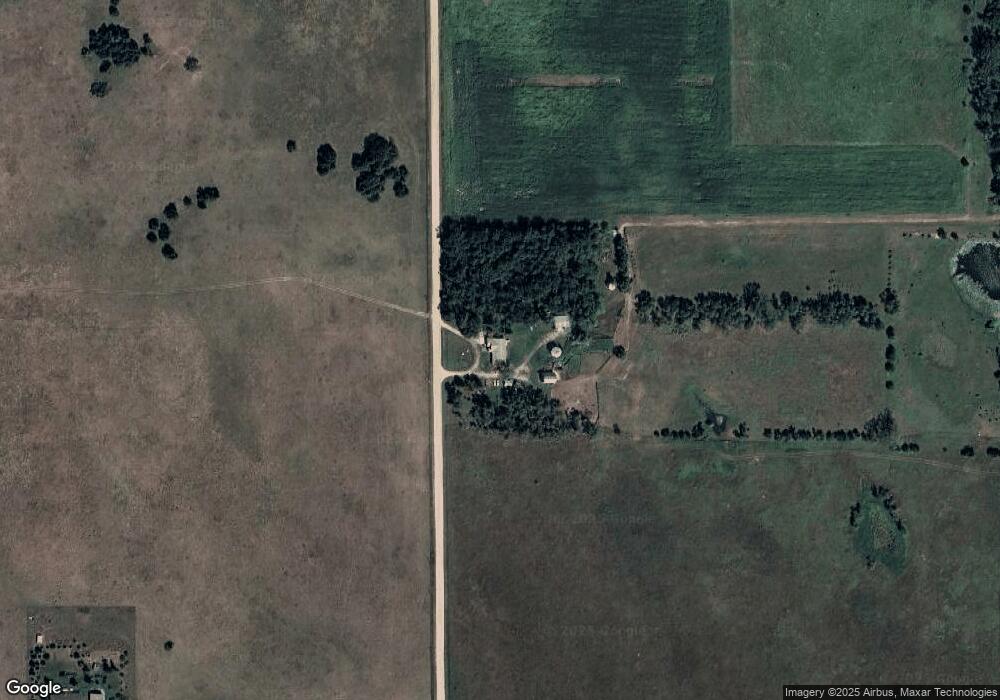
Map
Nearby Homes
- 5105 W Sherwood Rd
- 3507 Bradford Ave
- 3407 Bradford Ave
- 3506 Bradford Ave
- 3406 Bradford Ave
- 000 836th 1 2 Rd
- 3900 Madison Ave
- 101 Frank Ave
- 101 Adealia Ave
- 100 Henry Ave
- 101 Henry Ave
- 100 Helen Ave
- 2500 W Pasewalk
- 2500 W Cooper Dr **
- 304 E Herman St
- 303 S Boyer St
- 401 E Hale St
- 2604 W Cooper Dr**
- 803 N 34th St
- 1201 N 34th St
- 83724 551 Ave
- 83691 551st Ave
- 55073 837th Rd
- 83654 551st Ave
- 83664 551st Ave
- 5508 W South Airport Rd
- 5710 W South Airport Rd
- 5407 W South Airport Rd
- 83693 552nd Ave
- 5401 W South Airport Rd
- 5309 W South Airport Rd
- 5408 W South Airport Rd
- 5305 W South Airport Rd
- 5207 W South Airport Rd
- 83741 552nd Ave
- 55017 837th Rd
- 83726 550th Ave
- 55053 838th Rd
- 83831 551st Ave
- 5404 W South Airport Rd