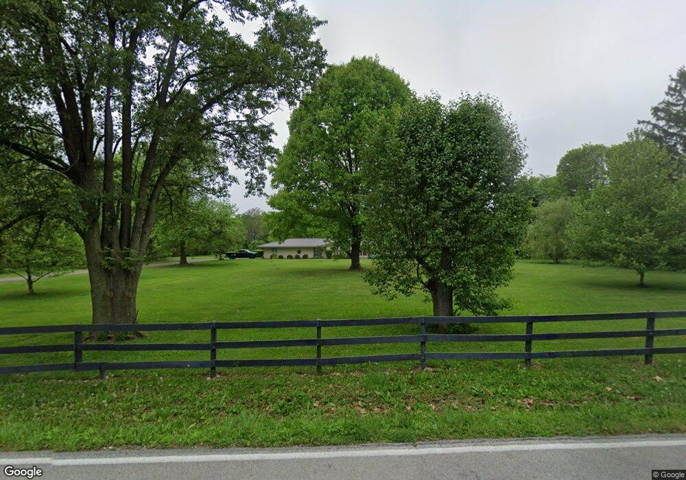
8379 Adams Rd Dayton, OH 45424
Estimated Value: $503,549 - $665,000
4
Beds
3
Baths
3,408
Sq Ft
$167/Sq Ft
Est. Value
About This Home
This home is located at 8379 Adams Rd, Dayton, OH 45424 and is currently estimated at $569,637, approximately $167 per square foot. 8379 Adams Rd is a home located in Greene County with nearby schools including Fairborn Primary School, Fairborn Intermediate School, and Fairborn Middle School.
Ownership History
Date
Name
Owned For
Owner Type
Purchase Details
Closed on
Jun 28, 2013
Sold by
Diller Thurman Jane A
Bought by
Munroe Laporte Rhonda L and Laporte James E
Current Estimated Value
Home Financials for this Owner
Home Financials are based on the most recent Mortgage that was taken out on this home.
Original Mortgage
$272,740
Outstanding Balance
$197,565
Interest Rate
3.83%
Mortgage Type
VA
Estimated Equity
$372,072
Purchase Details
Closed on
Aug 22, 2011
Sold by
Estate Of William E Thurman Sr
Bought by
Diller Thurman Jane A
Purchase Details
Closed on
Feb 20, 1998
Sold by
Nutt Ambrose B and Viola Elaine
Bought by
Thurman William E
Create a Home Valuation Report for This Property
The Home Valuation Report is an in-depth analysis detailing your home's value as well as a comparison with similar homes in the area
Home Values in the Area
Average Home Value in this Area
Purchase History
| Date | Buyer | Sale Price | Title Company |
|---|---|---|---|
| Munroe Laporte Rhonda L | $367,000 | None Available | |
| Diller Thurman Jane A | -- | None Available | |
| Thurman William E | $222,900 | -- |
Source: Public Records
Mortgage History
| Date | Status | Borrower | Loan Amount |
|---|---|---|---|
| Open | Munroe Laporte Rhonda L | $272,740 |
Source: Public Records
Tax History Compared to Growth
Tax History
| Year | Tax Paid | Tax Assessment Tax Assessment Total Assessment is a certain percentage of the fair market value that is determined by local assessors to be the total taxable value of land and additions on the property. | Land | Improvement |
|---|---|---|---|---|
| 2024 | $5,971 | $135,640 | $25,590 | $110,050 |
| 2023 | $5,971 | $135,640 | $25,590 | $110,050 |
| 2022 | $5,046 | $97,950 | $22,250 | $75,700 |
| 2021 | $5,118 | $97,950 | $22,250 | $75,700 |
| 2020 | $5,141 | $97,950 | $22,250 | $75,700 |
| 2019 | $5,071 | $88,340 | $19,860 | $68,480 |
| 2018 | $5,122 | $88,340 | $19,860 | $68,480 |
| 2017 | $4,883 | $88,340 | $19,860 | $68,480 |
| 2016 | $4,884 | $84,410 | $19,160 | $65,250 |
| 2015 | $4,467 | $84,410 | $19,160 | $65,250 |
| 2014 | $4,314 | $84,410 | $19,160 | $65,250 |
Source: Public Records
Map
Nearby Homes
- 4893 Bath Rd
- 6917 Buell Ln
- 4617 Bath Rd
- 6795 Fishburg Rd
- 6728 Duryea Ct
- 6669 Lexington Place N
- 6561 Fishburg Rd
- 7821 Wedgemere Cir
- 6579 Mikusa Ln
- 7247 Bostelman Place
- 6535 Semmes Ln
- 6732 Grovebelle Dr
- 7256 Windsor Ridge Dr
- 6463 Ring Neck Dr
- 6432 Gander Rd E
- 6456 Pheasant Finch Dr
- 5612 Kitridge Rd
- 6286 Pheasant Hill Rd
- 6620 Pheasant Ridge Rd
- 6303 Copper Pheasant Dr