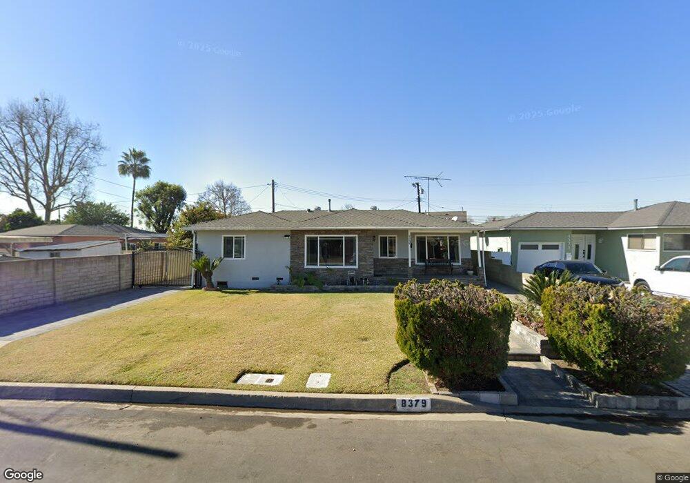
8379 Vanport Ave Whittier, CA 90606
Los Nietos NeighborhoodEstimated Value: $732,950 - $809,000
About This Home
This home is located at 8379 Vanport Ave, Whittier, CA 90606 and is currently estimated at $760,738, approximately $616 per square foot. 8379 Vanport Ave is a home located in Los Angeles County with nearby schools including Pioneer High School and St. Marianne De Paredes Elementary School.
Ownership History
We collect this data history from publicly available records. To have your information removed, we recommend requesting removal directly through your county’s website.
Purchase Details
Purchase Details
Home Financials for this Owner
Home Financials are based on the most recent Mortgage that was taken out on this home.Home Values in the Area
Average Home Value in this Area
Purchase History
We collect this data history from publicly available records. To have your information removed, we recommend requesting removal directly through your county’s website.
| Date | Buyer | Sale Price | Title Company |
|---|---|---|---|
| -- | None Available | ||
| -- | Progressive Title Company |
Mortgage History
We collect this data history from publicly available records. To have your information removed, we recommend requesting removal directly through your county’s website.
| Date | Status | Borrower | Loan Amount |
|---|---|---|---|
| Closed | $68,000 |
Tax History
We collect this data history from publicly available records. To have your information removed, we recommend requesting removal directly through your county’s website.
| Year | Tax Paid | Tax Assessment Tax Assessment Total Assessment is a certain percentage of the fair market value that is determined by local assessors to be the total taxable value of land and additions on the property. | Land | Improvement |
|---|---|---|---|---|
| 2025 | $1,968 | $107,698 | $28,805 | $78,893 |
| 2024 | $1,747 | $105,588 | $28,241 | $77,347 |
| 2023 | $1,721 | $103,519 | $27,688 | $75,831 |
| 2022 | $1,571 | $90,980 | $27,146 | $63,834 |
| 2021 | $1,533 | $89,197 | $26,614 | $62,583 |
| 2019 | $1,514 | $86,554 | $25,826 | $60,728 |
| 2018 | $1,375 | $84,858 | $25,320 | $59,538 |
| 2016 | $1,307 | $81,565 | $24,338 | $57,227 |
| 2015 | $1,286 | $80,341 | $23,973 | $56,368 |
| 2014 | $1,240 | $78,768 | $23,504 | $55,264 |
Map
- 8410 Sanger Ave
- 8458 Duchess Dr
- 8410 Alburtis Ave
- 8432 Flallon Ave
- 11605 Nan St
- 11610 Lochinvar St
- 8330 Morrill Ave
- 8337 Morrill Ave
- 8531 Vicki Dr
- 11549 Burke St
- 8714 Norwalk Blvd
- 11480 Burke St
- 7840 Pioneer Blvd
- 7616 Boer Ave
- 7628 Vicki Dr
- 7816 Clive Ave
- 8142 Shadyside Ave
- 10521 Ben Avon St
- 7407 Broadway Ave
- 11100 Allerton St
- 8367 Vanport Ave
- 8361 Vanport Ave
- 8373 Vanport Ave
- 8357 Vanport Ave
- 8346 Boer Ave
- 8350 Boer Ave
- 8340 Boer Ave
- 8354 Boer Ave
- 8336 Boer Ave
- 8366 Vanport Ave
- 8351 Vanport Ave
- 8372 Vanport Ave
- 8360 Vanport Ave
- 11415 Aeolian St
- 8376 Vanport Ave
- 11419 Aeolian St
- 11409 Aeolian St
- 8356 Vanport Ave
- 8330 Boer Ave
- 11429 Aeolian St
Ask me questions while you tour the home.