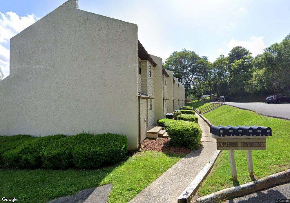
838 Carter St Unit 2 Bristol, VA 24201
Estimated Value: $100,000 - $120,000
2
Beds
2
Baths
986
Sq Ft
$113/Sq Ft
Est. Value
About This Home
This home is located at 838 Carter St Unit 2, Bristol, VA 24201 and is currently estimated at $111,333, approximately $112 per square foot. 838 Carter St Unit 2 is a home located in Bristol City with nearby schools including Virginia High School, Tri-Cities Christian School, and Morrison School.
Ownership History
Date
Name
Owned For
Owner Type
Purchase Details
Closed on
Nov 25, 2025
Sold by
Acrent Llc
Bought by
Cedar Grove Properties Llc
Current Estimated Value
Home Financials for this Owner
Home Financials are based on the most recent Mortgage that was taken out on this home.
Original Mortgage
$493,000
Outstanding Balance
$491,647
Interest Rate
6.3%
Mortgage Type
New Conventional
Estimated Equity
-$380,314
Purchase Details
Closed on
Dec 17, 2020
Sold by
Worrell Brett W and Worrell John S
Bought by
Quesenberry Audra Marie
Create a Home Valuation Report for This Property
The Home Valuation Report is an in-depth analysis detailing your home's value as well as a comparison with similar homes in the area
Purchase History
| Date | Buyer | Sale Price | Title Company |
|---|---|---|---|
| Cedar Grove Properties Llc | $580,000 | Investors Title | |
| Quesenberry Audra Marie | $62,000 | Attorney |
Source: Public Records
Mortgage History
| Date | Status | Borrower | Loan Amount |
|---|---|---|---|
| Open | Cedar Grove Properties Llc | $493,000 |
Source: Public Records
Tax History
| Year | Tax Paid | Tax Assessment Tax Assessment Total Assessment is a certain percentage of the fair market value that is determined by local assessors to be the total taxable value of land and additions on the property. | Land | Improvement |
|---|---|---|---|---|
| 2025 | $771 | $82,900 | $16,000 | $66,900 |
| 2024 | $627 | $56,000 | $12,500 | $43,500 |
| 2023 | $655 | $56,000 | $12,500 | $43,500 |
| 2022 | $627 | $56,000 | $12,500 | $43,500 |
| 2021 | $627 | $56,000 | $12,500 | $43,500 |
| 2020 | $587 | $50,200 | $12,500 | $37,700 |
| 2019 | $587 | $50,200 | $12,500 | $37,700 |
| 2018 | $294 | $50,200 | $12,500 | $37,700 |
| 2016 | -- | $46,600 | $0 | $0 |
| 2014 | -- | $0 | $0 | $0 |
Source: Public Records
Map
Nearby Homes
- 838 Carter St Unit 6
- 838 Carter St Unit 5
- 838 Carter St Unit 4
- 838 Carter St Unit 3
- 838 Carter St Unit 1
- 838 Carter St Unit 4,6
- 838 Carter St Unit 1,3,5
- 100 Ivy Ln
- 836 Carter St
- 828 Carter St
- 844 Carter St
- 844 Carter St Unit 1
- 848 Carter St
- 829 Carter St
- 831 Carter St
- 833 Carter St
- 925 Lewis St
- 931 Lewis St
- 827 Carter St
- 911 Lewis St
Your Personal Tour Guide
Ask me questions while you tour the home.